
High Level Infrastructure Assessments
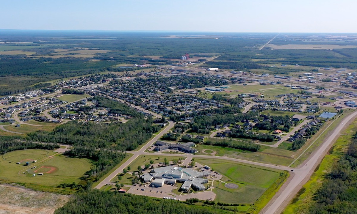
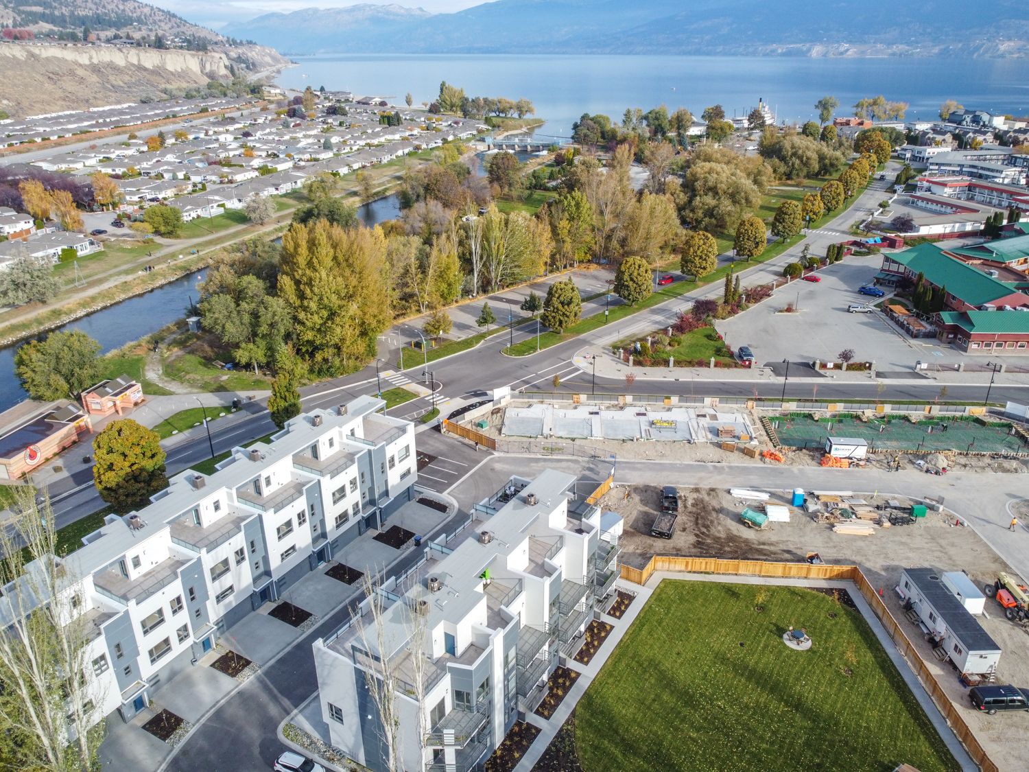
The Town of Olds engaged McElhanney for infrastructure assessments including sanitary sewer and water main.

3D laser scanning allows for much faster data acquisition, up to 10 times faster than traditional surveying methods. What used to be an obstacle is now an opportunity for greater collaboration; the result of 3D laser scanning is that everyone working on the project gains a far better and richer understanding of the site.
Read more about McElhanney’s 3D laser scanning services below and contact us to discuss your project.
When placed at a location, our 3D laser scanners collect millions of measurements per second. These measurements are used to generate a point cloud. This point cloud can then be transformed into a digital 3D model, which user groups can navigate through to find detailed information for building information modelling (BIM), floor plans, and precise measurements. This information is highly valuable for builders, engineers, and public engagement groups.


A highly detailed scan allows for the tracing and recreation of an accurate 3D model inside systems like Autodesk Revit®, for a multitude of purposes, including as built representations, building upgrades, visualization, and BIM. This model can then be exported to a range of other packages to suit project needs.

The final as-built model can be used to generate detailed floor plans for leasing purposes and area calculations. The quick turn-around and precision of our scans allows for fast certification and identification of delimiting elements, such as demising walls and structural upgrades that must be accounted for while determining rental and common areas in commercial buildings.

Data collected from a 3D laser scan provides a highly accurate framework on which an augmented or virtual reality (AR / VR) environment can be built upon. AR / VR demonstrations are highly effective for project collaboration, and widely used tools in community planning and major infrastructure projects. As more organizations shift to digital consultation meetings, AR / VR is becoming an increasingly popular tool in the collaboration and consultation process.
Although McElhanney is equipped to gather, process, and model laser scanning data on our clients’ behalf, we know some clients prefer to manage their own raw data. McElhanney is a value-added reseller of LFM (Light Form Modeler) 3D laser scanning software. If your organization prefers to integrate your scan data into your projects directly, we will set you up with LFM software and introduce you to efficient data integration workflows.
McElhanney performs 3D laser scans for clients across Canada. Want to learn more? Review our case studies below:
The Town of Olds engaged McElhanney for infrastructure assessments including sanitary sewer and water main.
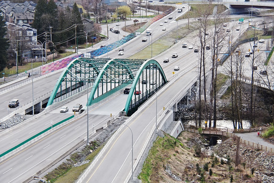
Award-winning work within a constrained, congested corridor that included fish-bearing creeks, sensitive habitat, parks, residences, and commercial spaces.
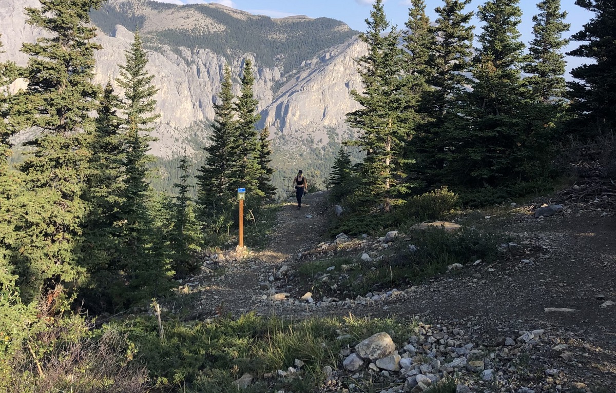
As the popularity of the Yamnuska recreation area grew over recent years, so did the number of rescues. Could improved trails reduce risk?
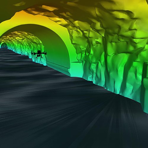
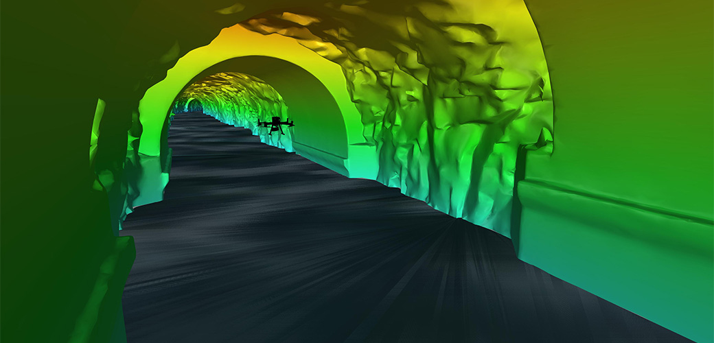
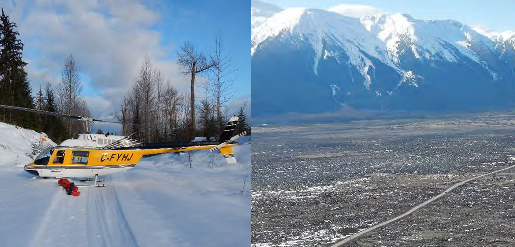
Inside a mountain in the Kitimat Ranges on BC’s northwest coast is a 475-metre long, 8-metre wide “tailrace” tunnel that transports the outflow water from the hydroelectric generation station in…
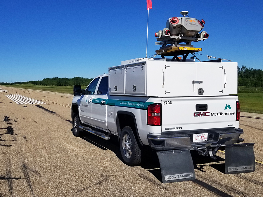
McElhanney used innovative mobile laser scanning to complete the Valleyview Airport runway study, resulting in cost savings for the Town.
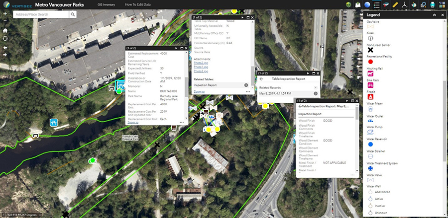
McElhanney designed and implemented a mobile field program and desktop conversion of various data sources to update Metro Vancouver Regional District’s spatial database of all assets owned and maintained by…
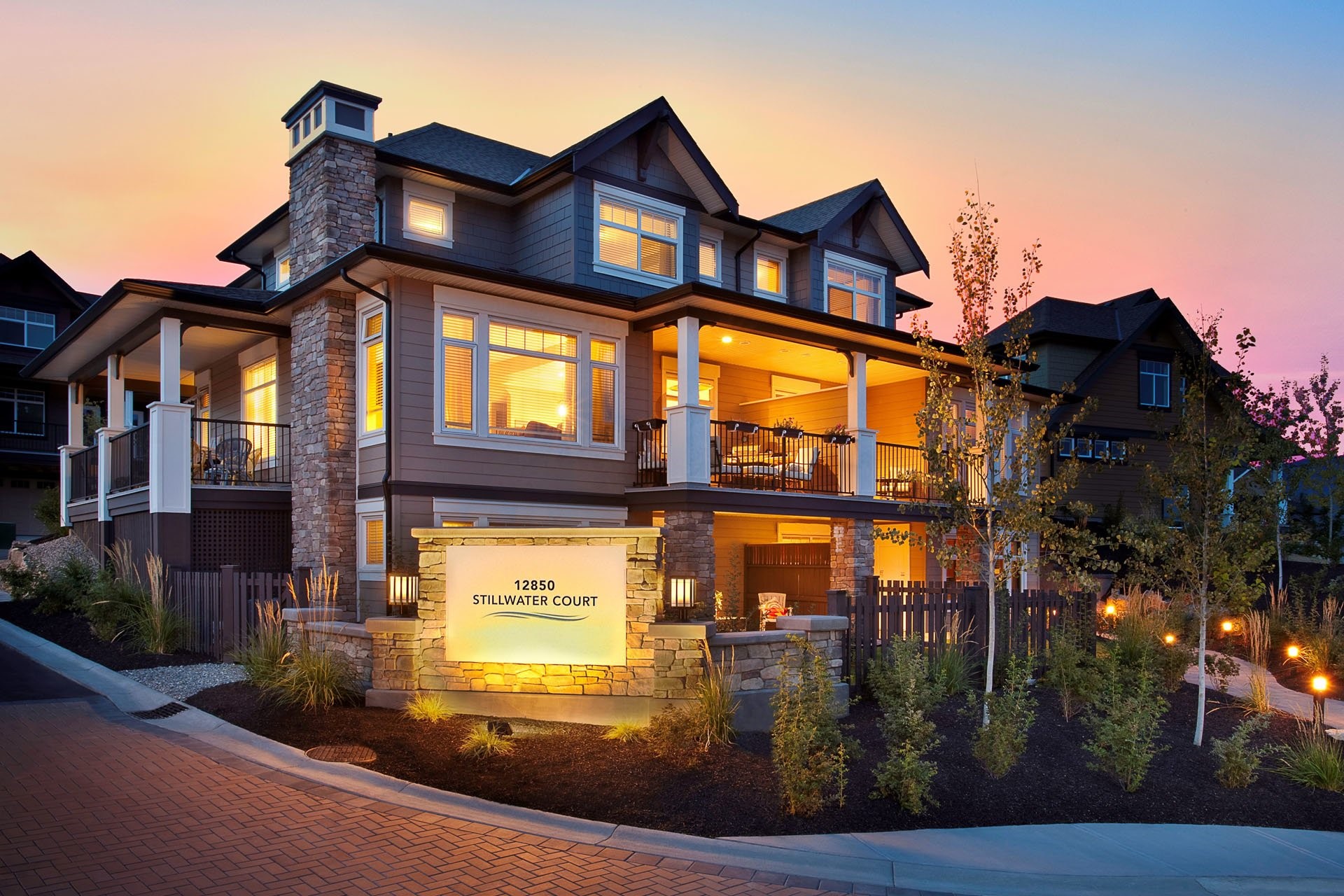
Since 2010, McElhanney has provided Legal Surveying to Citimark for their Crystal Heights and Apex Townhouse development projects.
This 35-unit luxury townhouse development involved design of onsite and offsite roads, underground utilities, grading, storm drainage, cost estimating, and construction inspections and administration.
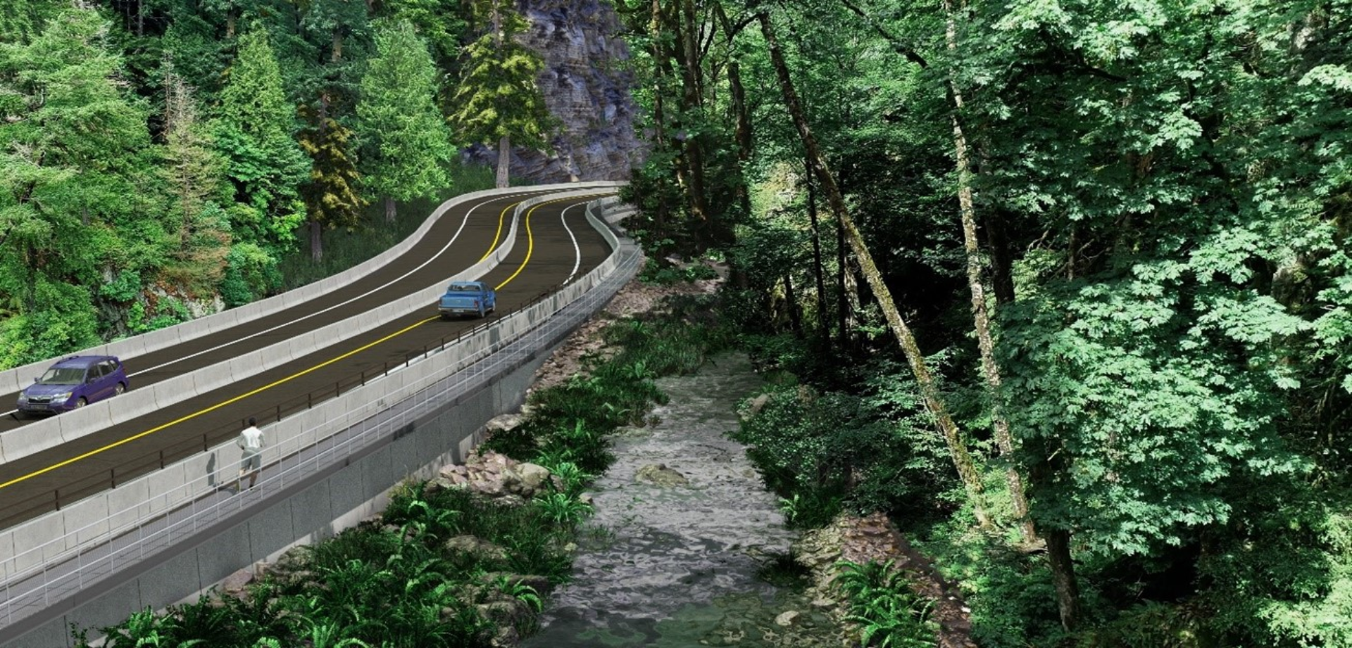
With the Malahat Corridor Improvement Project, the BC Ministry of Transportation & Infrastructure has been improving the safety of Hwy 1 by installing a median barrier and other upgrades. The…
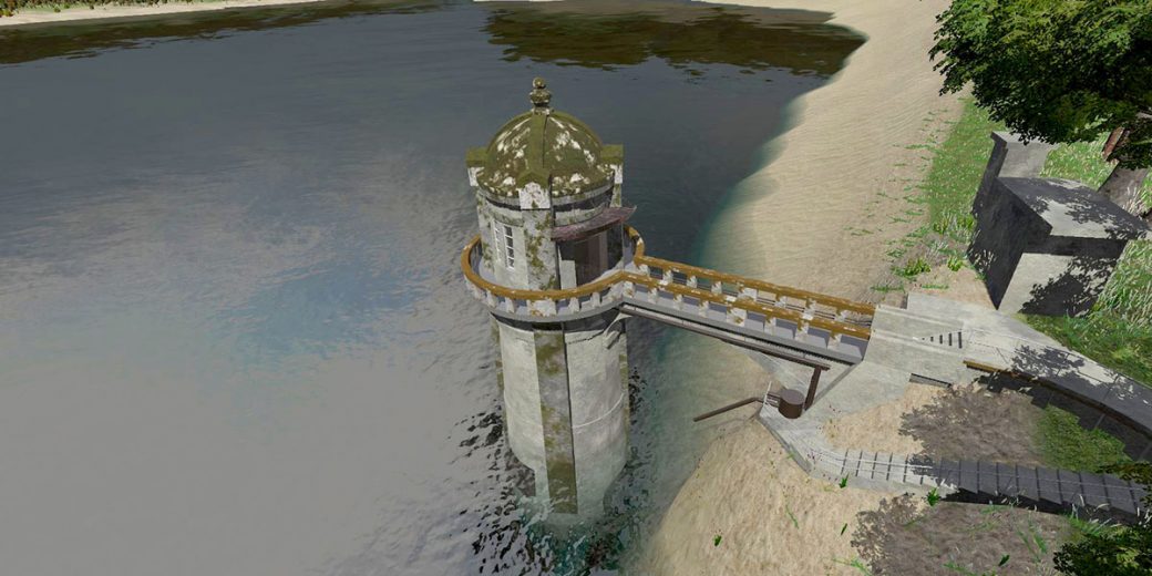
The survey work for the intake tower included GPS, 3D laser scanning, UAV, and multi-beam bathymetry. The team used GPS to establish primary control from which to base the survey,…
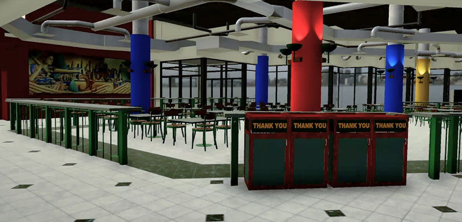
This Virtual Reality experience shows the potential of this technology and its benefits for project proposals, public forums, marketing, stakeholder engagement, and more. Laser scanned data, CAD models, and 3D…
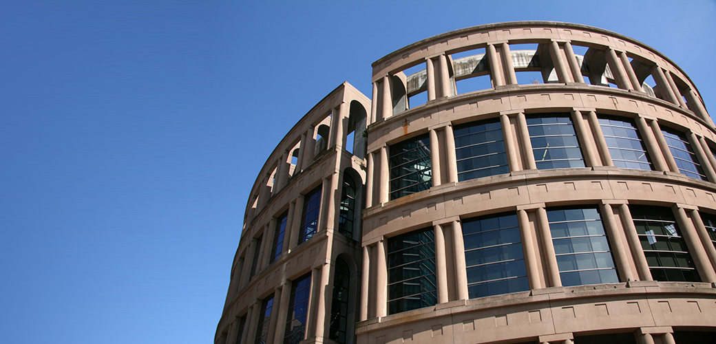
McElhanney provided surveying services to aid renovations at the library. The objective of the survey was to identify a precise location for a temporary concrete platform supporting a multi-storey crane,…
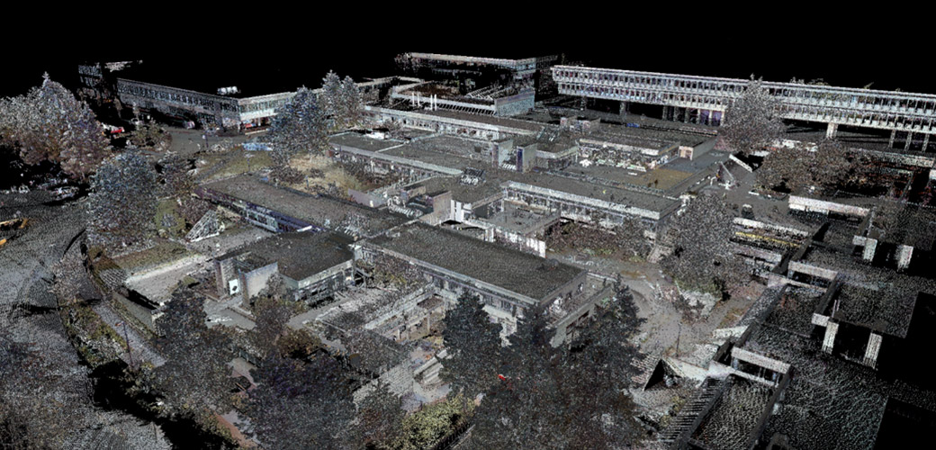
Burnaby, BC – McElhanney conducted several laser scan surveys at SFU to assist with a variety of renovation and upgrade projects. Our team of modelling technicians converted the resulting point…
The Prince Rupert Gas Transmission Project (PRGTP) is a proposed 900 kilometre natural gas pipeline running from Hudson’s Hope to Lelu Island on the BCs North Coast. This project involved…
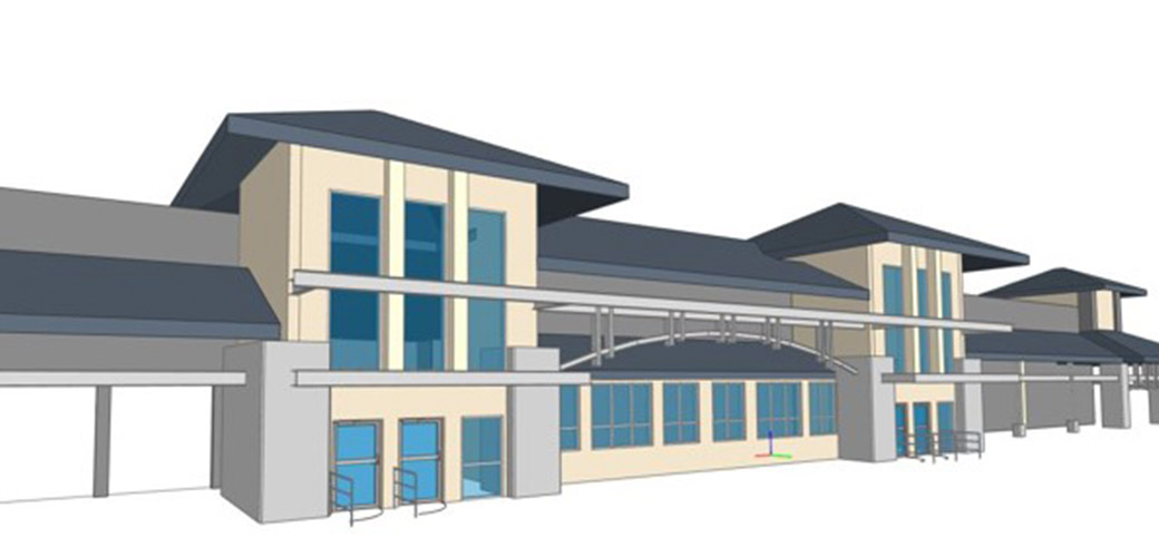
Richmond, BC – The Ironwood and Coppersmith shopping plazas are located in Richmond, BC. McElhanney was hired by Westbank to provide 3D building models for architectural design and site plans…


