Skip to content
Search:

LOGIN

QUIZ

CONTACT

Linkedin page opens in new windowTwitter page opens in new windowFacebook page opens in new windowInstagram page opens in new window
McElhanney
McElhanneyMcElhanney
    • Home
    • About
    • Services
      • Geomatics
      • Engineering
      • GIS & Remote Sensing
      • Planning
      • Landscape Architecture
      • Environmental
    • Portfolio
    • Careers
      • Career Opportunities
      • Culture
      • Career Growth
      • Students & New Graduates
    • News
    • Locations
    Linkedin Twitter Facebook Instagram
Scan-to-BIM

The Birth of the Digital Twin – A Geospatial Love Story

News, SurveyingSeptember 24, 2019

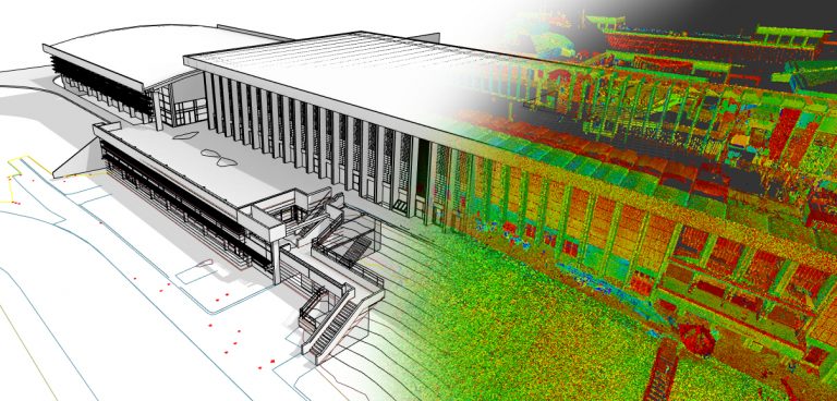
By Steve Rombough, DiplT, Division Manager The long relationship of Survey and GIS is a storybook romance. They were best friends in grade school, hung out all time in high school, and – even though they denied anything was “going on” – everybody knew they would make a great couple. On the surface, they may…
Read more
©2021 McElhanney, All Rights Reserved | Sitemap Privacy Policy Terms & Conditions Login Contact |
LinkedinTwitterFacebook Instagram
Go to Top