Bow River 2-Dimensional Flood Modeling and Mapping
2015 – 2016 | Canmore, AB
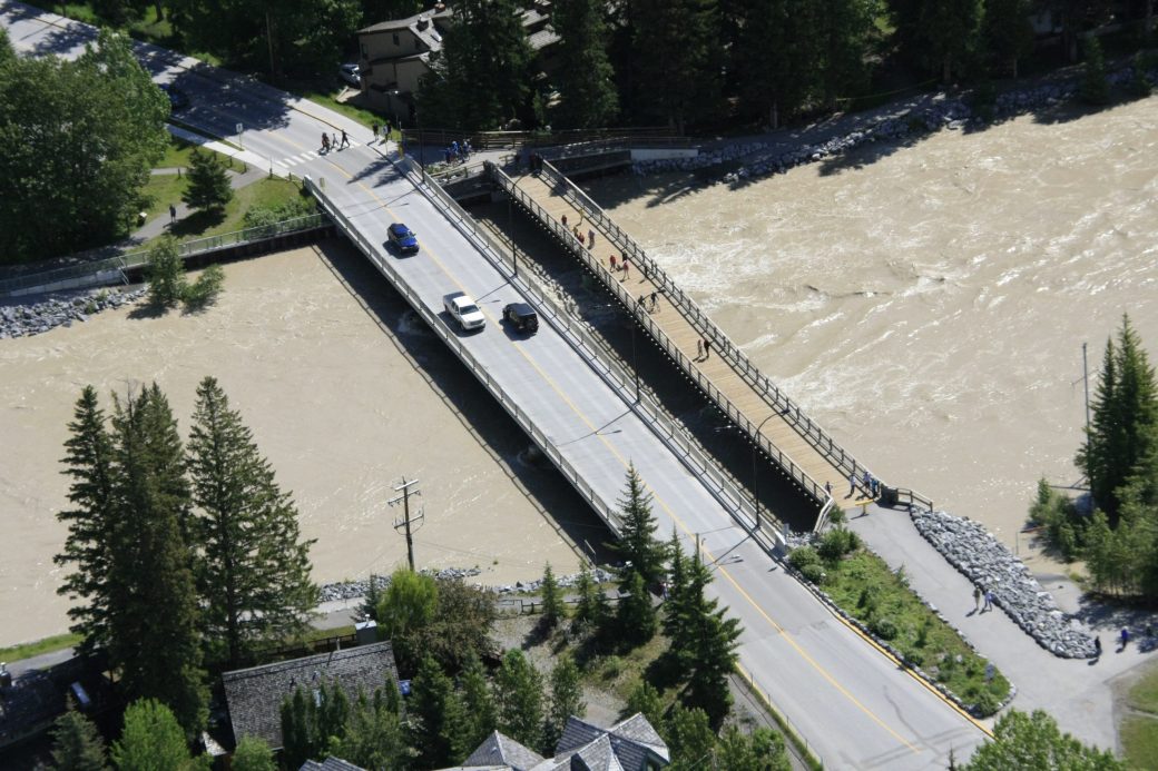
McElhanney was responsible for conducting the bathymetric and dike surveys, acquiring the appropriate LiDAR data, processing the survey information with GIS software, creating a calibrated and validated hydraulic model, producing flood inundation maps, recommendation of capital works for dike improvement, and recommendation of emergency flood response procedures including bridge closures, temporary flood barriers, and evacuation.
Hydraulic modeling and analysis were completed using both HEC-RAS and River2D. HEC-RAS (a 1-dimensional model) was initially used but was ultimately abandoned as it failed to produce complex hydraulics that have been observed. River2D (a 2-dimensional model) was used to complete the project which was calibrated using regularly observed low flow events and the 2013 flood event.
McElhanney provided:
- Topographic and bathymetric survey and data collection
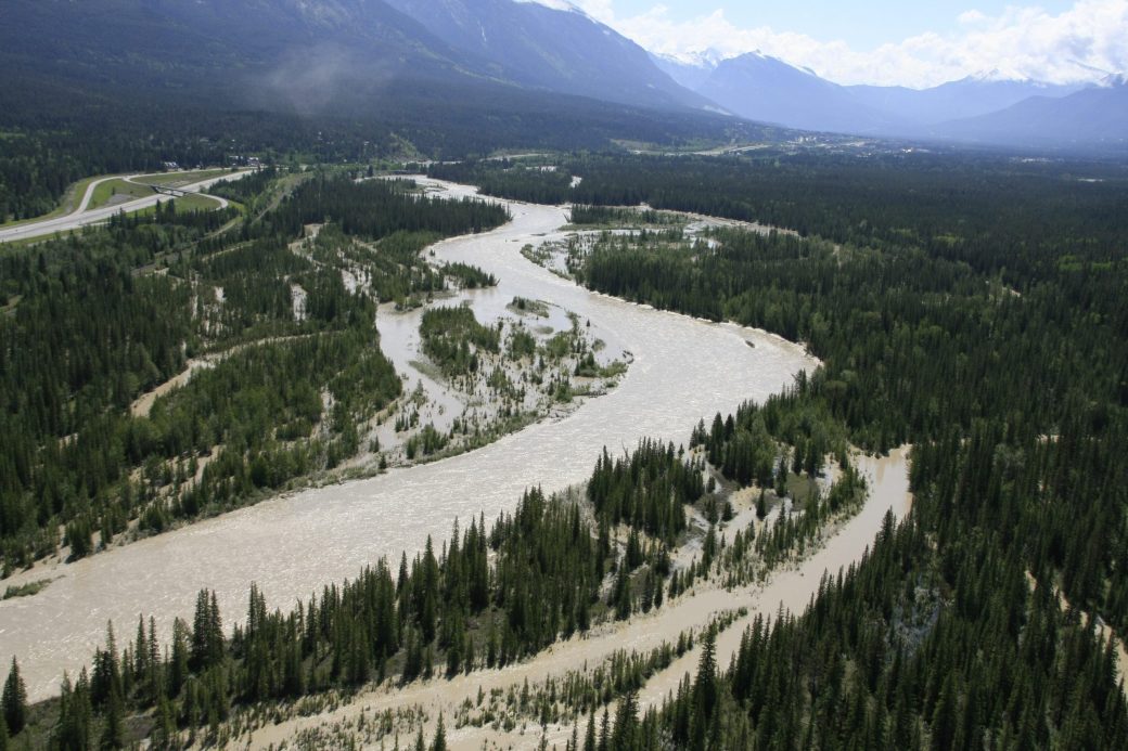
- Review of 2013 flood event including anecdotal flooding and water surface information as well as flow rates from the various natural and man-made sources in the watershed
- 1D and 2D river hydraulic modeling and analysis for a variety of flow rates in 200cm increments up to 1400cm
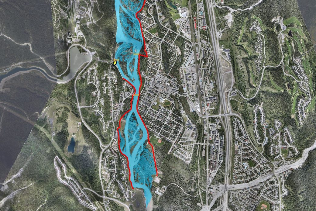
- Development of flood inundation maps for each flow rate modeled
- Emergency procedures at each flow rate increment including bridge closures, temporary flood barriers, and evacuation.
- Recommendation for future dike raising and / or armouring


