No. 2 Road
2016-2019 | Richmond, BC
Defined as an arterial roadway and a gateway to Steveston Village, No. 2 Road saw an increase in traffic volumes that, along with aging infrastructure, required road widening and intersection upgrades. The improvements also impacted BC Hydro overhead and underground wires, significant trees along the east right-of-way limit, a major drainage box sewer, an existing watercourse, roadside ditches, significant street side parking, and other utilities. An important feature was the inclusion of a multi-use pathway along the length of this popular corridor.
McElhanney provided topographic survey and base plan preparation, environmental review and regulatory applications, review of and rehabilitation methods for a failing box culvert, preliminary and detailed engineering design, construction cost estimates, public consultation meeting, including preparation of presentation boards, property impact statements and drawings, preparation of issued for tender and issued for construction drawings, and construction services.
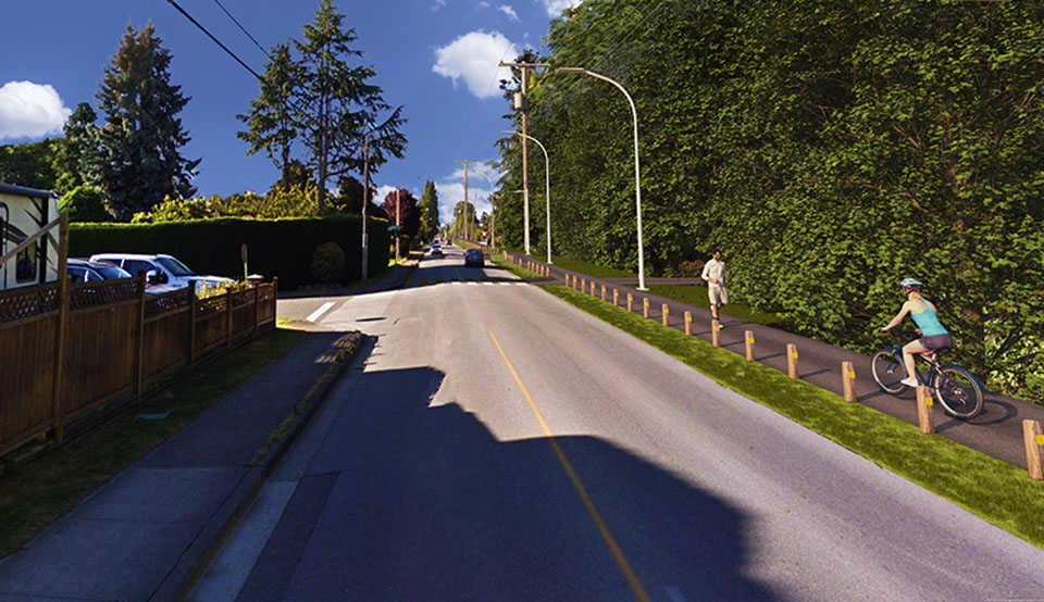
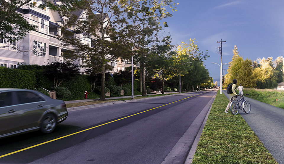
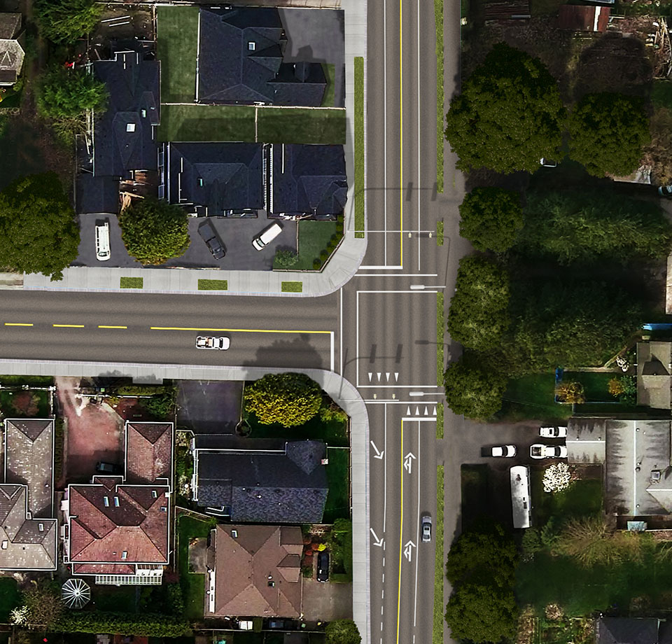
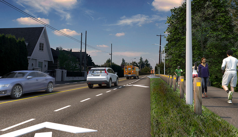
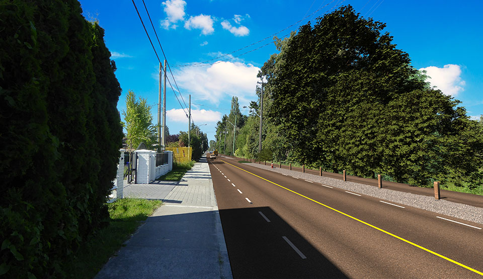
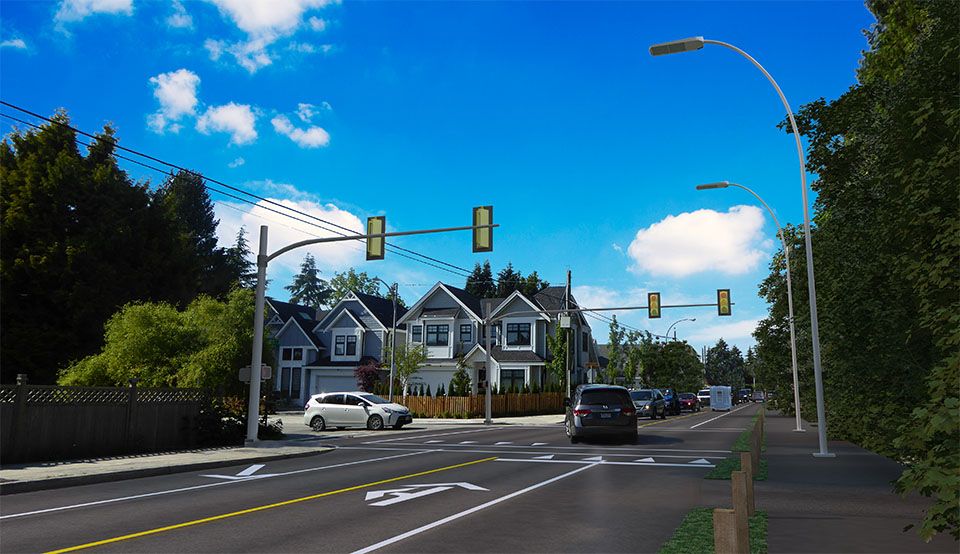
The 3D visualization for this project needed to show what No. 2 Road would look like after the widening between Steveston Highway and London Road was finished. Our team took photos from 5 specific locations to so the surroundings in the rendering could be accurate. Using provided CAD files, McElhanney generated a 3D model of the road. Our team then added textures, lights, and other 3D elements to create a photorealistic effect.
The City of Richmond used these renderings at their open house to communicate the project to residents and stakeholders.
