K’ómoks First Nation Asset Management Inventory and Mapping
2022-2021 | Courtenay, BC
The K’ómoks First Nation (KFN) began negotiating a Treaty Agreement in 1995 and is preparing for its ratification and implementation. In parallel, KFN is also working hard to prepare for self-sufficiency and financial sustainability. Through these initiatives, KFN became acutely aware of the need to do infrastructure management business in a different way and, in 2020, embarked on a multi-year improvement program.
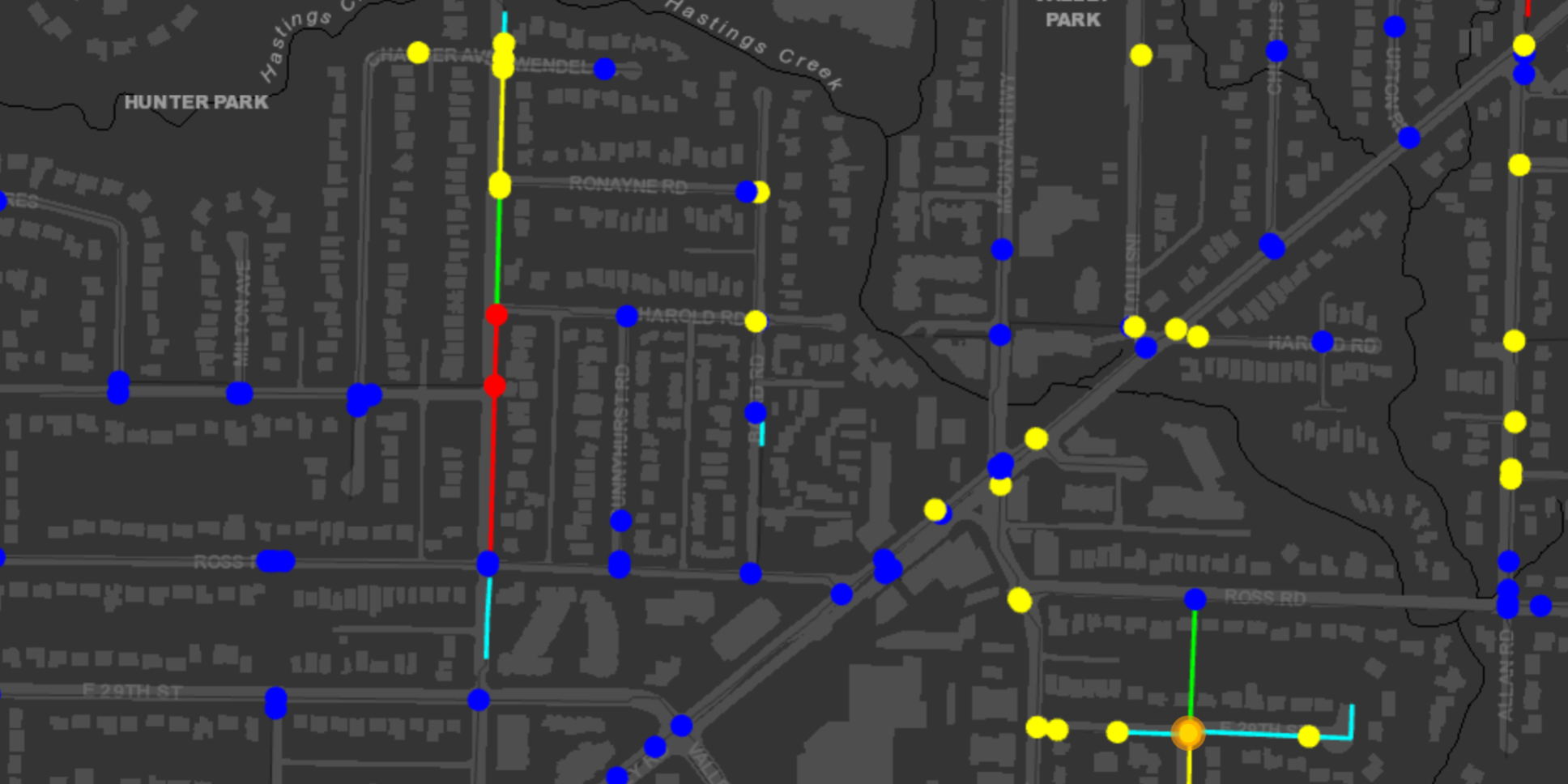
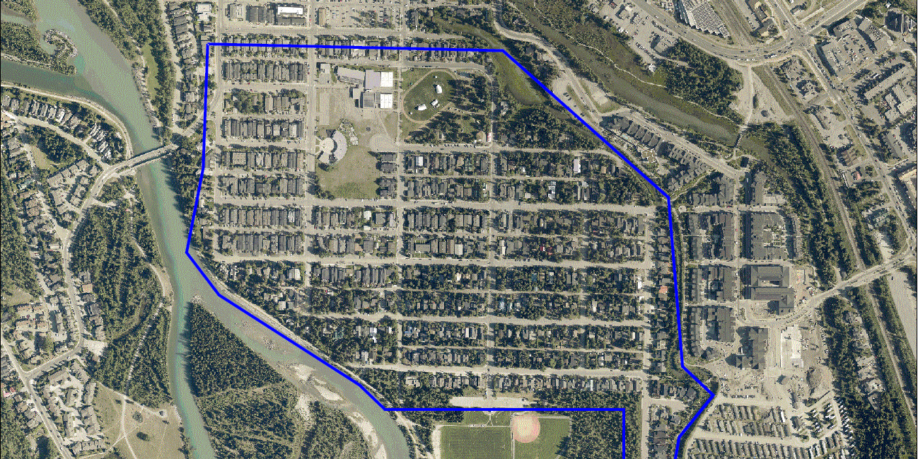
This improvement program relied on the completion of a comprehensive asset inventory, an initiative that would deliver crucial strategic, financial, and risk management data. The comprehensive K’ómoks First Nation asset inventory project was completed in February 2021, and focused on water, sanitary and drainage systems, road infrastructure, and community buildings. The information gathered was used to populate a comprehensive GIS database of underground and aboveground assets.
This asset inventory is a key building block in the overall K’ómoks First Nation asset management strategy. The inventory is intended to be a continuously improving, integrative database that informs condition, capacity, service life, and replacement cost analysis, maintenance management, and future capital plans.
McElhanney came to the project with strong background knowledge of KFN’s infrastructure based on a long-standing relationship with KFN and previous Extended Asset Condition Reporting Systems work completed for the Nation on behalf of Indigenous Services Canada. Through each stage of the asset inventory project, McElhanney’s existing relationship with KFN streamlined the creation and delivery of KFN’s asset inventory, furthering KFN’s journey towards self-sufficiency and financial sustainability.
McElhanney provided:
- Asset inventory database structure set-up and coding. This included establishing a comprehensive KFN asset coding structure, including links to coding for ISC funded infrastructure.
- Field verification of existing civil infrastructure imported into GIS mapping system. This included ground-truthing known assets to validate accuracy and survey previously undocumented assets.
- Field review of K’ómoks First Nation building assets, to assess the condition of building assemblies, systems, and components, and prepare Class D costing summary.
- Entering and categorizing GPS field information and existing data for all known assets including roads, water system, sewage systems, street lighting, storm systems, buildings into inventory system.
- Compiling existing CAD data, as-built drawings, schematics, and GIS data into comprehensive infrastructure maps.