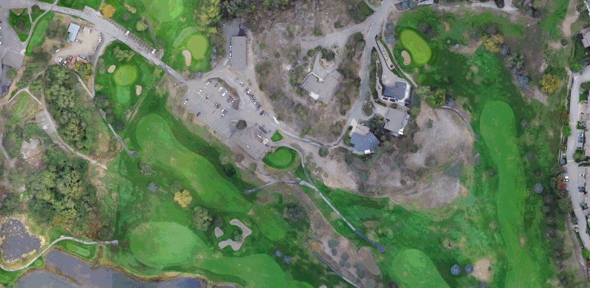
Shannon Lake Golf Course - Aerial Drone Survey
2022 | West Kelowna, BC
The Shannon Lake Golf Course was undergoing an irrigation system upgrade and needed accurate topography of the entire 18-hole course for design purposes. A traditional ground survey could have been used, however a site of its size would have required multiple field days to survey. McElhanney proposed to use a Remotely Piloted Aircraft System (RPAS) with a LiDAR sensor to scan the site and obtain ortho-rectified imagery. LiDAR data was post-processed, and a Computer-Aided Design (CAD) file was delivered containing a ground surface model highlighting the features relevant to the golf course (ie. Fairways, tee boxes, edge of water, etc).
McElhanney provided:
- Acquisition of LiDAR data and color orthophoto imagery
- Classification of LiDAR data in LAS format
- LiDAR intensity images and orthophoto images in a Tag Image File Format (TIFF) format and compressed to an Enhanced Compression Wavelet (ECW)
- AutoCAD dwg files of overall golf course topography


