Skip to content
Search:

LOGIN

QUIZ

CONTACT

Linkedin page opens in new windowX page opens in new windowFacebook page opens in new windowInstagram page opens in new window
McElhanney
McElhanneyMcElhanney
    • Home
    • About
    • Services
      • Geomatics
      • Engineering
      • Geospatial
      • Planning
      • Landscape Architecture
      • Environmental
    • Portfolio
    • Careers
      • Career Opportunities
      • Culture
      • Career Growth
      • Students & New Graduates
    • News
    • Locations
    Linkedin Twitter Facebook Instagram
Model

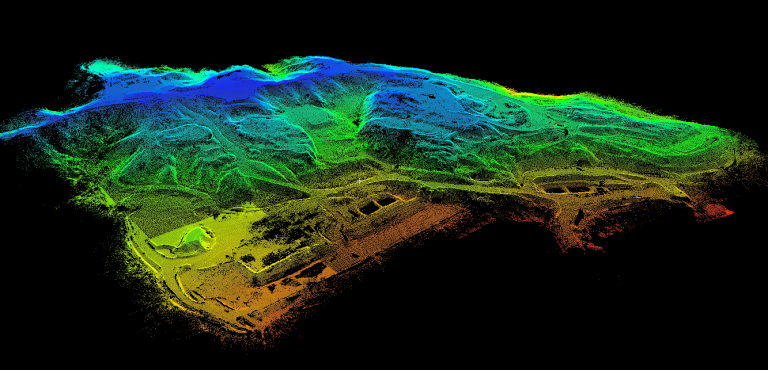
What is the best mapping and surveying technology for your mining project?

NewsAugust 12, 2019

By Andrew McIntosh, GISP, Project Manager Project managers involved in mining and mineral exploration are often responsible for organizing contracts for surveying and aerial mapping services. It may also be up to these project managers to recognize when these services are required and, in some cases, to select which technology to use. This process can…
Read more
©2025 McElhanney, All Rights Reserved | Sitemap Privacy Policy Terms & Conditions Login Contact |
LinkedinTwitterFacebook Instagram
Go to Top