You are here:

Get to Know McElhanney’s Mining & Mineral Exploration Services

Get the support you need.

Whether you are in the exploration, operation, or closing phase of your project, our mining & mineral exploration professionals offer the support you need. No job is too small or too onerous for our local teams; we are ready to dig into your mining and mineral exploration challenges!
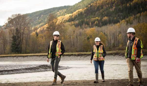

TalonGillis_07092_Web
Rich History.

Since 1910, McElhanney has contributed to the success of projects at all stages of exploration and mining; something few companies can claim. For example, our VP Geomatics was a young surveyor at Eskay Creek during the early stages of advanced exploration. To this day, McElhanney is still supporting the project, with survey and LiDAR services.

Insider Perspectives.

Our expertise is enhanced by several team members who spent 25+ years working for major mining companies and for junior explorers. This has gained McElhanney the reputation of being a trusted advisor; we help you get the most out of the data we provide while offering insider perspectives.

Global Expertise.

McElhanney has a rich history of providing surveying and mapping projects to companies world-wide, on time and on budget. Our understanding of the logistics required to deliver projects of this scale makes us a leader in providing surveying and mapping services to the mining industry.

Trust Our Senior Mining
& Mineral Exploration Professionals

Engineering

We know mining projects come in all shapes and sizes. Whether you need help with the smaller bits and pieces that keep things moving or a team to lead a larger engineering scope, we’re comfortable doing both. We bring together McElhanney’s multidisciplinary capabilities to support access roads, bridges, camps and water needs, with specialist electrical, structural and geotechnical support where it’s needed. With more than 100 years behind us and local teams across BC and Alberta, we understand the places where projects take shape and care about getting the details right. Visit our Engineering page for the full list of services.

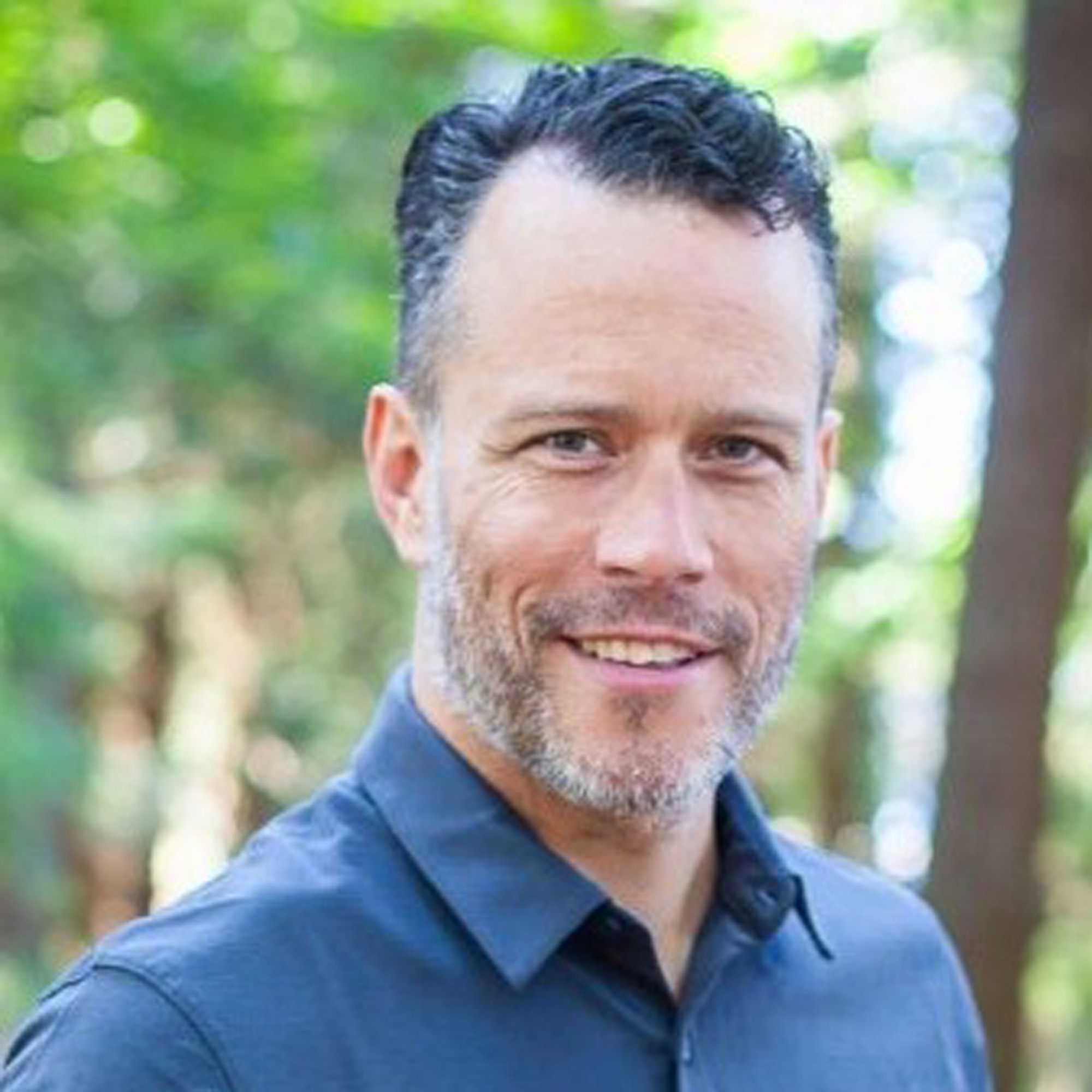
Brendon Masson, PEng – Business Leader

Get In Touch

“There is rarely just one way to solve an engineering problem. Sitting on our client’s side of the table helps us understand what matters, then we can draw on our knowledge, experience and good judgement to find an approach that fits.”

T: 403-776-9661
E: bmasson@mcelhanney.com

Surveying

As one of McElhanney’s core service offerings since 1910, surveying is in our blood. We know what it takes to survey your remote mine site. Our team of professional surveyors and technicians has provided geomatics support to the mining sector within Canada, and internationally. From mineral tenure review and government consultation, to engineering surveying support, we have a proven track record providing experienced personnel to meet all your project requirements. Visit our Geomatics page for a full list of services.

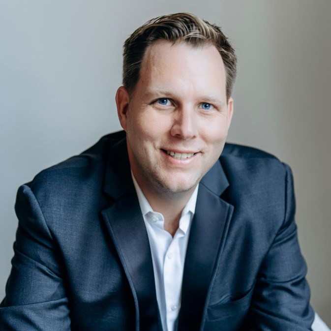
Marcell Iseli, BTech, DiplEng – Business Lead
Vancouver Region Geomatics & Geospatial

Get In Touch

T: 604-424-4816
E: miseli@mcelhanney.com

Nicole Blackall, BCLS – Division Manager
Vancouver Region Geomatics & Geospatial

Get In Touch

T: 604-424-4766
E: nblackall@mcelhanney.com

Mapping

Your mapping projects need the best technology to ensure accuracy. In addition to traditional and GPS-based surveying methods, we have a fleet of unmanned aerial vehicles (drones), terrestrial laser scanning units, and LiDAR / air-photo collection systems to meet all of your topographic mapping, terrain modelling, and underground scanning needs. Our GIS services allow for efficient data and asset management while our geospatial and geological data services provide drillhole and geochemistry data services, maps, cross-sections, imagery, and 3D-modeling for any stage of mining and exploration.

Andrew McIntosh – Senior Project Manager
GIS, LiDAR Mapping, Geological Data Services

Get In Touch

“I love that McElhanney can add value for clients beyond being a data or service provider. Whether it’s training and supporting geologists in GIS and 3D modelling, or talking to them about how to use LiDAR data, the best part of my job is being involved in our client’s projects as a trusted advisor.”

T: 604-683-8521
E: amcintosh@mcelhanney.com

Environmental Services

Involving an integrated environmental team early in your project provides you with better cost control, improved project design, and reduced regulatory risk. Our environmental team, comprising of professional biologists and environmental engineers, understand the requirements of regulatory agencies and provides a range of services including environmental assessments and monitoring, as well as complex wildlife studies. To discover more about these services, please visit our Environmental Services page.

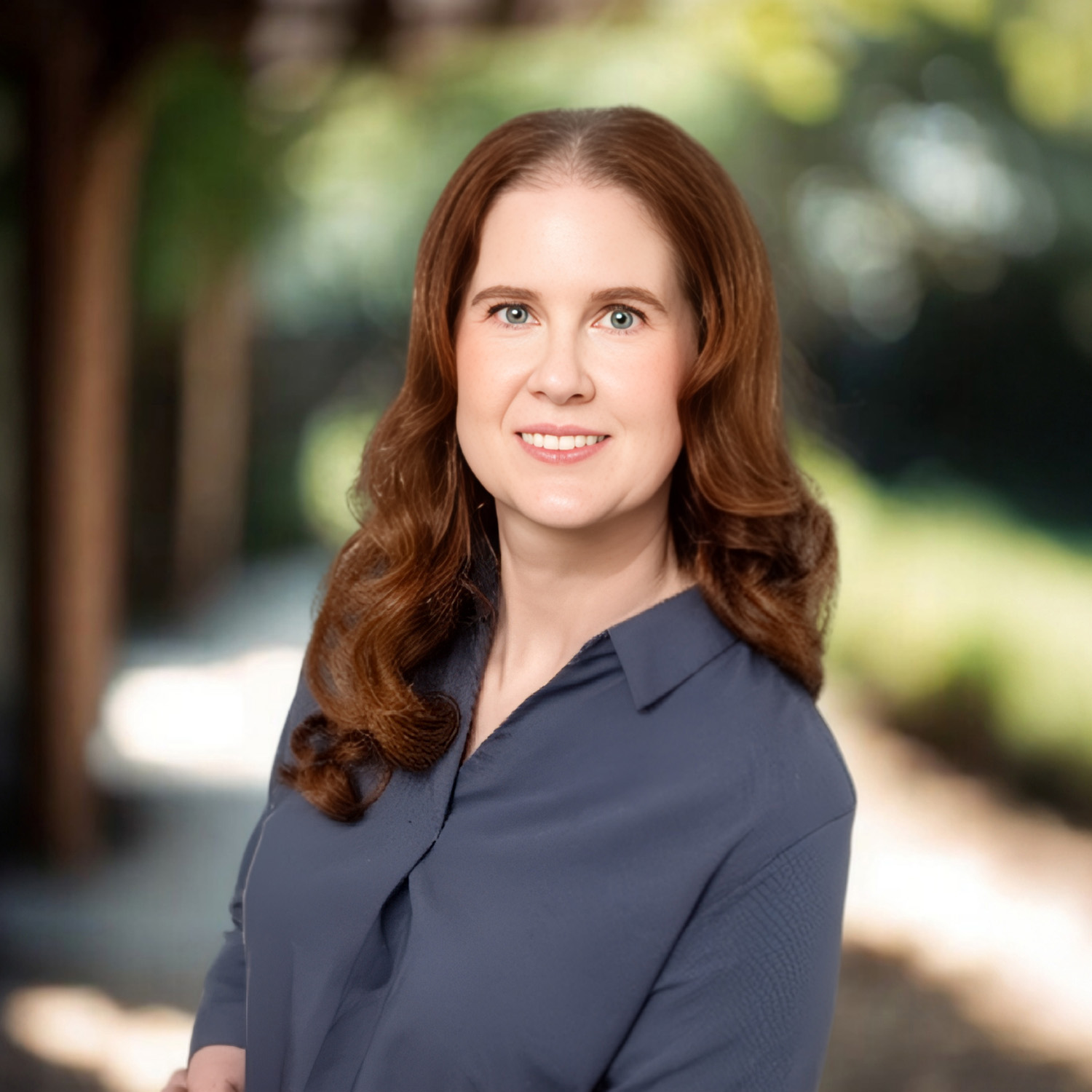
Kourtney Bradley P.Biol, R.P.Bio, PMP | Environmental Practice Lead

Environmental Services

Get In Touch

“I enjoy the challenge of helping our clients achieve project feasibility while addressing environmental concerns. The team works together to help our clients advance well planned and environmentally sustainable projects for review with stakeholders including the public, Indigenous nations and regulators.”

T: 587-779-2279
E: kbradley@mcelhanney.com

Take confidence in our Industry-Certified Standards

Quality Commitment

Our quality management system has been certified to ISO 9001:2015 standards for the provision of engineering, surveying, mapping, planning, and environmental services. We are also certified to Engineering & Geoscientists British Columbia Organizational Quality Management (OQM) standards. McElhanney has in place an Energy Safety Canada COR (BC, AB & SK) certified HSE Management System (HSEMS) and an internal responsibility system.

Indigenous Partners

We have a long history of partnership and respect with First Nations groups in Western Canada. We consistently seek to find meaningful ways to partner with indigenous and local communities, businesses, and individuals to promote economic development and sustainability.

Safety Imperative: Work safe. Home safe.

The safety of your crews and team members is McElhanney’s top priority. We are committed to a proactive and systematic approach to health, safety, and the environment.

Demonstrated Experience

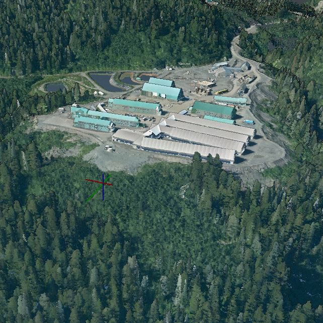
Eskay Creek LiDAR & Orthophoto

Skeena Gold + Silver . | Services Provided: LiDAR, Air Photo, Supporting Ground Survey

Since 2016 McElhanney has delivered LiDAR topography, orthophoto, and related ground survey services to support the Eskay Creek Mine project in Northwest British Columbia’s Golden Triangle – one of Canada’s most challenging environments for topographic mapping. McElhanney has been responsible for all aspects of the projects including LiDAR and aerial photo survey design and acquisition; LiDAR, orthophoto and GIS deliverables; supporting ground survey work required to ensure data accuracy; project communications and safety. Projects were completed from summer to early fall, with latest projects (2025, 2026) flown to monitor mine construction progress. Skeena Gold + Silver is using the LiDAR data and orthophoto for mine engineering, construction monitoring, environmental studies, mineral exploration, transmission-line and road engineering work.

Contact Your Local Branch Today

The right tools. The right people. Since 1910.

With 30+ offices in Western Canada, our teams are ready to get to work on your next project.
Contact information for your local branch can be found on our Locations page.