You are here:

GIS and 3D Modelling Courses

for Mineral Exploration

McElhanney offers online and in-class training to help mineral exploration industry personnel understand and use GIS and 3D modelling in their daily activities. See below for our current courses and registration information. All training is currently being held online.

McElhanney also provides sales and support for MapInfo Professional and Datamine Discover.
Mapinfo With Datamine Discover

MapInfo With Datamine Discover

Mineral Exploration Module 1

Duration: Four half-days online

Course Summary:

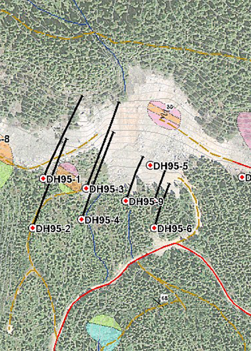
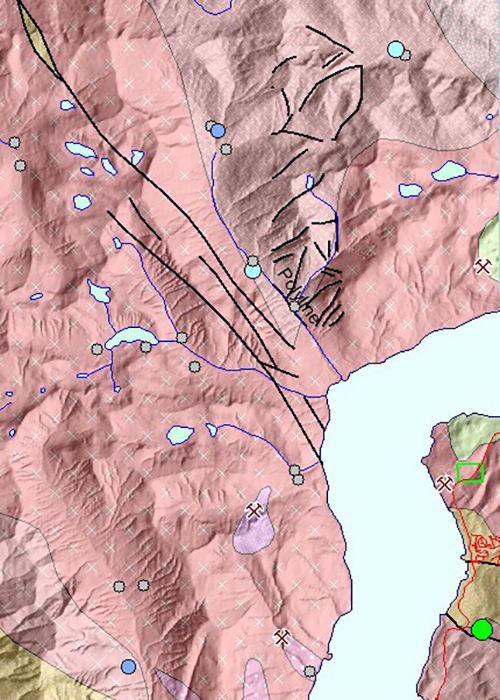
This course covers introductory to intermediate Discover topics. The goal of this two-day course is to familiarize new users in the geoscience field with the various functions of MapInfo Discover, and the background geomatics / GIS concepts that all GIS users should have.

Click here to read the full course description.

Upcoming Dates:

Contact us to schedule a custom session that fits your schedule. 

Register
MapInfo with Datamine Discover

MapInfo with Datamine Discover

Mineral Exploration Module 2

Duration: Two half-days online

Course Summary:

This course covers intermediate to advanced Discover topics. The course gives attendees an extensive introduction to working with drillhole data in the 2D environment. Attendees will complete a drillhole data project, starting with the basics of data table design, and finishing with plan views, cross-sections, and section interpretation layers ready for exporting to Discover 3D.

Click here to read the full course description.

Upcoming Dates:

Contact us to schedule a custom session that fits your schedule. 

Register
Datamine Discover3D

Datamine Discover3D

3D Modelling for Mineral Exploration

Duration: Four half-days online

Course Summary:

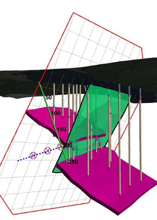
Learn how 3D modeling can help you make better-informed decisions in all stages of the mineral exploration process. From grassroots to advanced drilling projects, 3D modelling is rapidly replacing traditional 2D sections and plan views as the modern tool for exploration planning. 3D modeling allows users to simultaneously display surface and subsurface data, communicate exploration ideas, and can be used for investor presentations.

Click here to read the full course description.

Upcoming Dates:

Contact us to schedule a custom session that fits your schedule. 

Register
GraphMap

GraphMap

Introduction to Graphical Analysis Using Datamine Discover

Duration: Two half-days online

Course Summary:

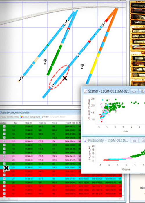
Put your geochemistry data to work using simple empirical procedures. This online course includes a series of hands-on, case study-based exercises designed to introduce geologists to Discover’s GraphMap module and the basics of graphical analysis. GraphMap is included with all Discover licenses. Practical examples involve surface geochemistry, drillhole geochemistry, and drillhole survey data.

Click here to read the full course description.

Upcoming Dates:

Contact us to schedule a custom session that fits your schedule. 

Register

Contact us.

Course Instructor
Andrew McIntosh, GISP
Tel: 604 424 4782
amcintosh@mcelhanney.com
LinkedIn Profile