Ford to Tappen Valley Road Public Engagement
2020 | Columbia Shuswap Regional District
The BC Ministry of Transportation was three years into the Highway 1 Ford Road to Tappen Valley Road 4-laning project when COVID-19 arrived. To facilitate public engagement in spite of COVID-19 realities, McElhanney delivered digital services and kept communication channels open without relying on physical meetings.
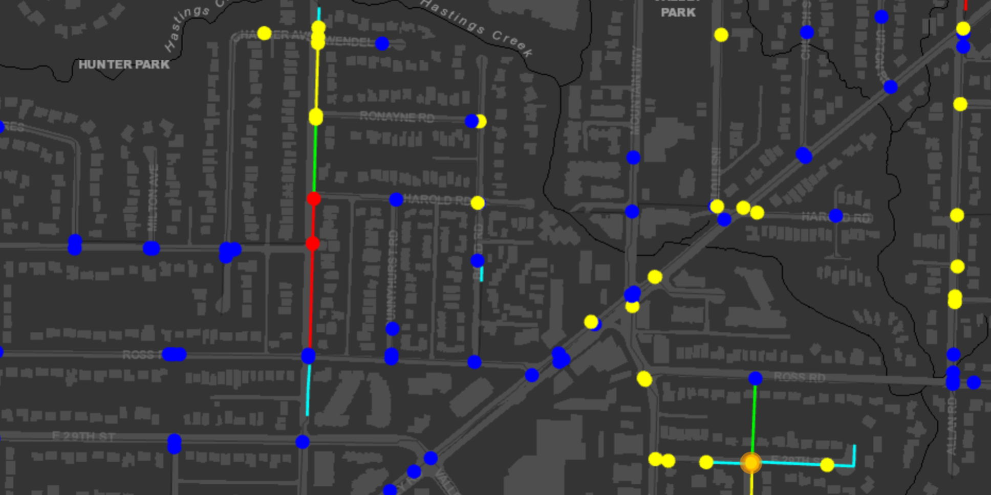
The digital engagement experience included an overview presentation that linked the key elements of the project together with a narrative of the project features, a 3D visualization and flythrough of the proposed design, and a Vertisee© online feedback map, with orthophoto and design superimposed to allow interactive public feedback.
Our GIS team developed an ArcGIS Story Map to provide an overview of the project in coordination with the Ministry Project Management Team. Content was developed by translating existing CAD detailed design already produced for the project. Two 3D flythrough videos were produced – one from street level, and one from a bird’s eye view – of the project limits and the proposed design. The production of these videos required the conversion of detailed design Civil 3D files to McElhanney’s 3D visualization software platform. In addition, a drone flight of the existing road layout was undertaken to superimpose on the proposed design background and to provide before / after comparison shots. Finally, McElhanney published a Web Map using McElhanney’s Vertisee Crowdsourcing App for interested party feedback. This process relied on the data translation and publishing into GIS that had been undertaken as part of the Esri Story Map process.
By leveraging a variety of digital public engagement tools, the BC Ministry of Transportation was able to proceed with the Highway 1 Ford Road to Tappen Valley Road 4-laning project despite limited opportunities for physical interaction.
To learn more about applying these tools to your project, contact visualization@mcelhanney.com.
You can also click here to learn more about the variety of public engagement tools we use.
McElhanney provided:
- Esri Story Map
- 3D flythrough and 3D Drive through
- 3D Renders
- Drone data capture
- Vertisee© crowd sourcing app Web Map
- Vertisee© maintenance and support during project lifecycle