Grizzly Bear & Moose Mapping
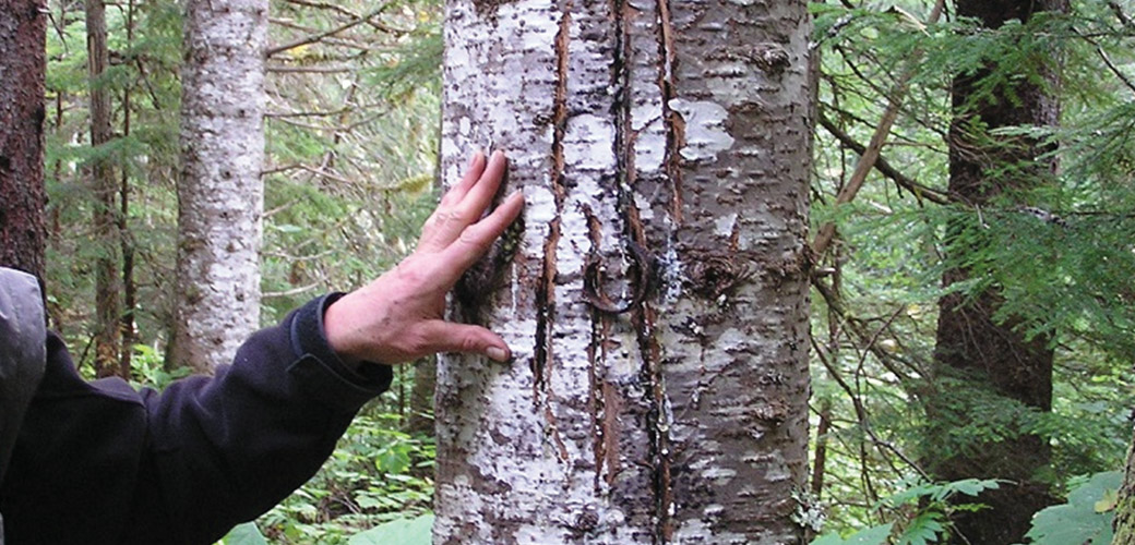
2009 | Remote Northern BC – The Government of BC hired McElhanney to head into the deep backcountry of the Skeena-Stikine and Kitimat regions. Our job was to identify critical bear habitat, along with important wintertime feeding areas for local moose populations. Cue the helicopter. After being dropped numerous times over a six-year period into some of the world’s most untouched and forested territory, our team searched for paw prints, scratches on tree bark, and other telltale signs of habitation using a schedule that allowed for little chance of actual face-to-face wildlife encounters. The result: We identified and performed mapping for sensitive, essential territory larger than the size of Vancouver Island for both moose and grizzly bear population for the government to protect (and no one got eaten).


