
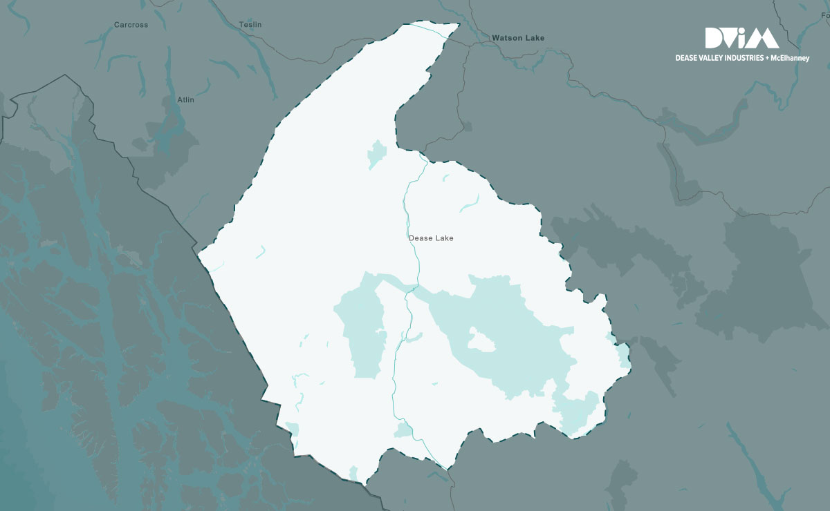
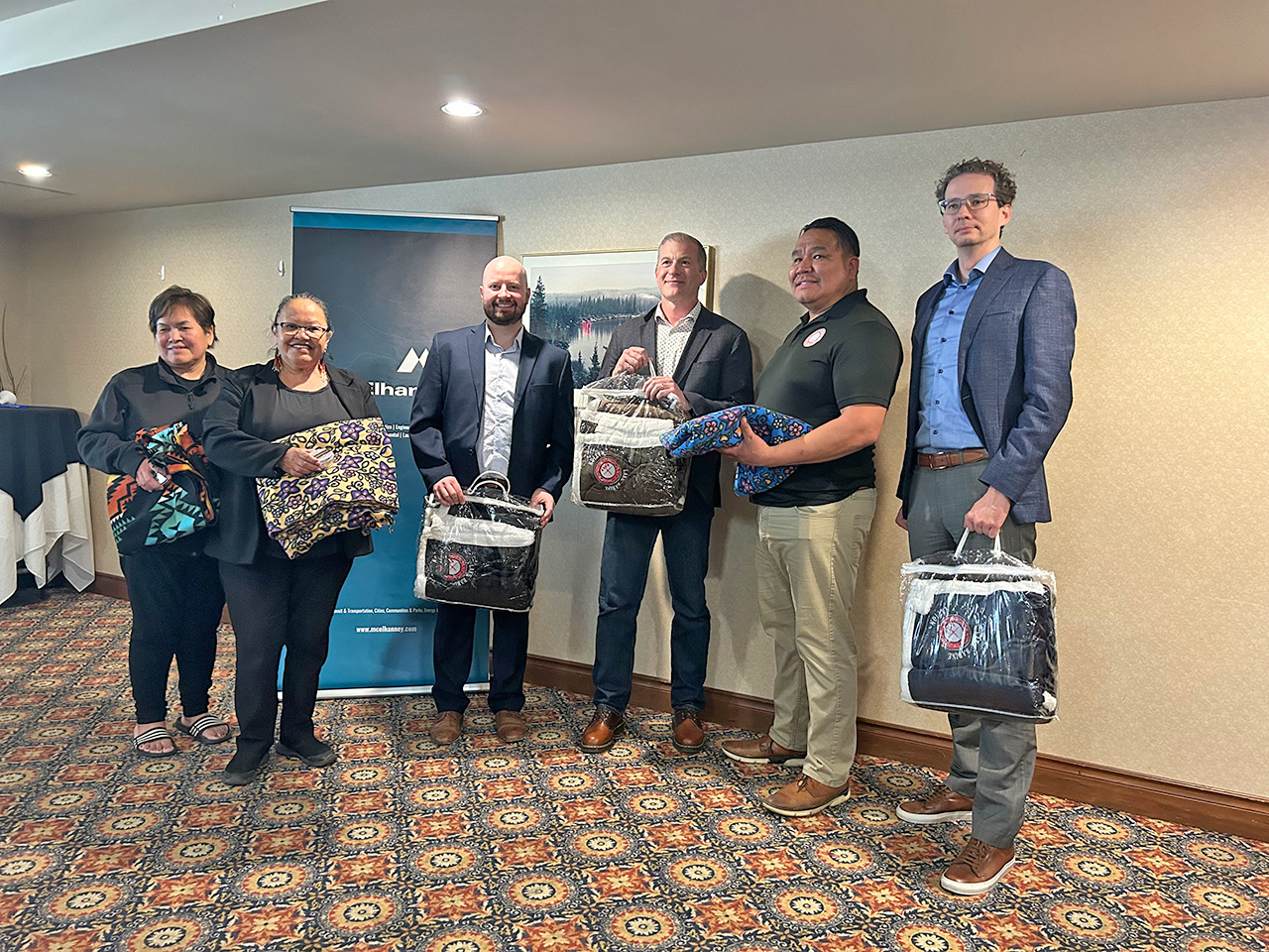
Supporting Major Infrastructure Projects in Tahltan Territory
Discover how DVI/McElhanney Joint Venture delivers major infrastructure projects in Tahltan territory with local expertise.
At McElhanney, we build collaborative relationships with individual Indigenous communities that evolve by integrating shared knowledge and experience. Together, we deliver adaptable projects that create lasting relationships, mutual benefits, and long-term success.
Discover how DVI/McElhanney Joint Venture delivers major infrastructure projects in Tahltan territory with local expertise.
Discover how Prophet River First Nation’s Comprehensive Nation Plan empowers their governance, culture, and future through inclusive engagement.
To support Skuppah’s need for better community food security, McElhanney provided grant writing, civil engineering, and project management services.
McElhanney and Boney Creek Development Limited have entered a joint venture named “MCBC Joint Venture” which will open opportunities for continued sharing and growth.
After months of discussion, McElhanney and Lake Babine Nation signed an MOU to guide future work together.
This housing strategy outlined how the First Nation’s housing goals could be achieved to meet the growing needs of those on and off reserve.
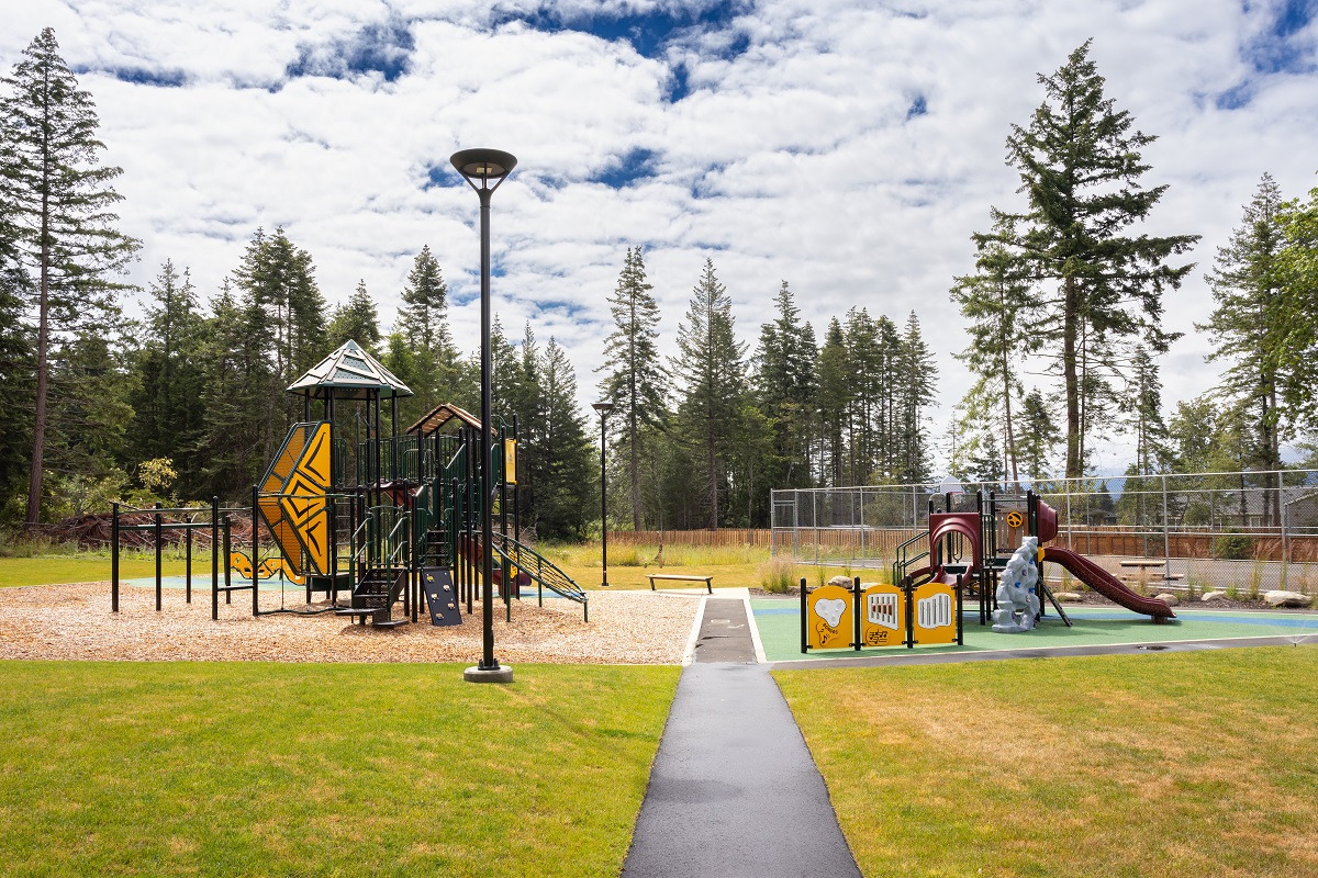
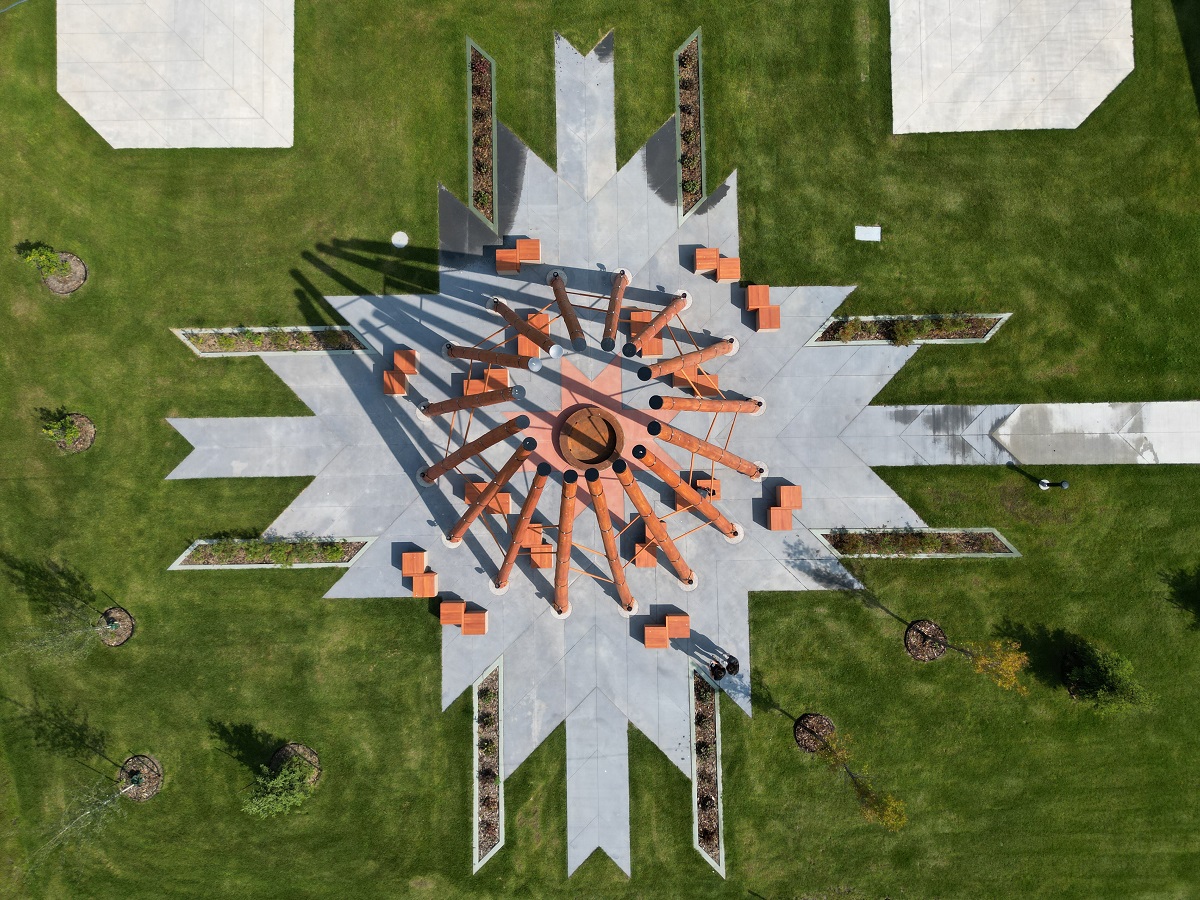
KFN members had no accessible, outdoor gathering space to meet, celebrate, gather, and play. Could a Canada Community Revitalization Fund grant meet their need?
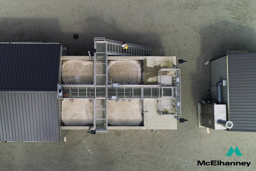
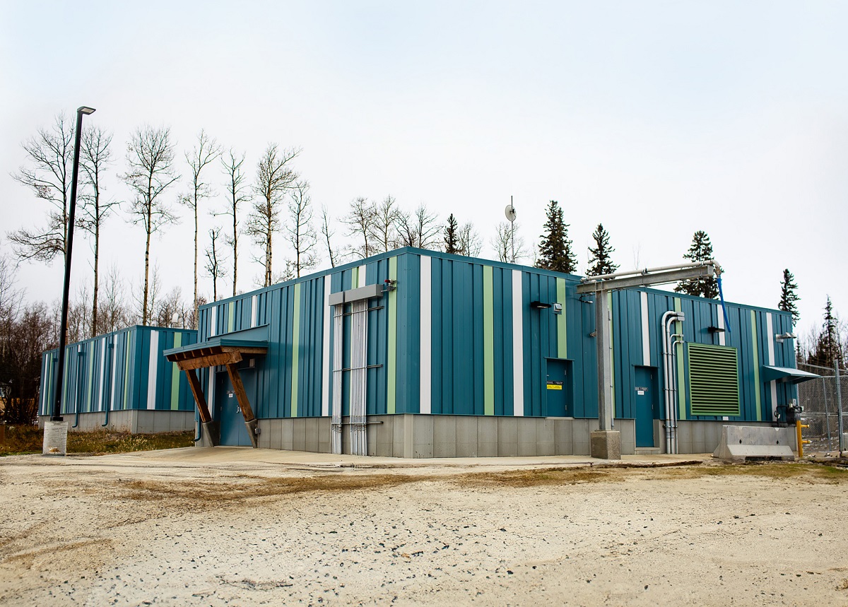
Huu-ay-aht First Nations required a new wastewater management system for the expansion of the Anacla community.
In 2020, KFN embarked on a multi-year improvement program to help them do their infrastructure management business in a different way.
McElhanney contributed to a firepit structure and a welcome sign, both of which were designed to honor the land, for Fort McMurray #468 First Nation.
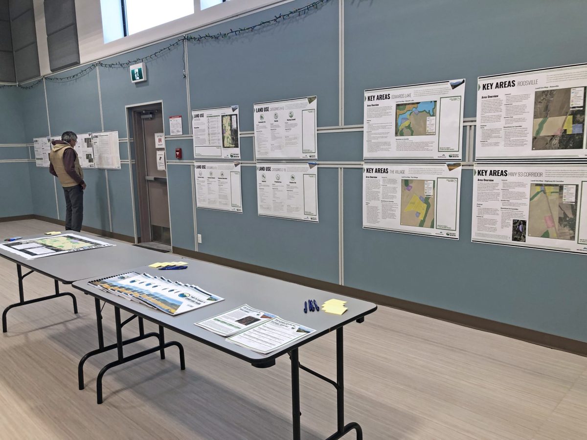
The Yaq̓it ʔa·knuqǂiʔit (Tobacco Plains) First Nation wished to create and implement a land use plan to meet the needs of its people.
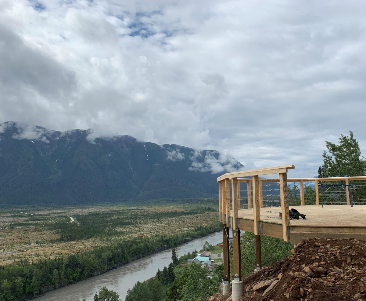
The Nisga’a Village of Gitwinksihlkw was ready for a Trail Master Plan and Detailed Design for their Saasak Hills Trail and River Walk.
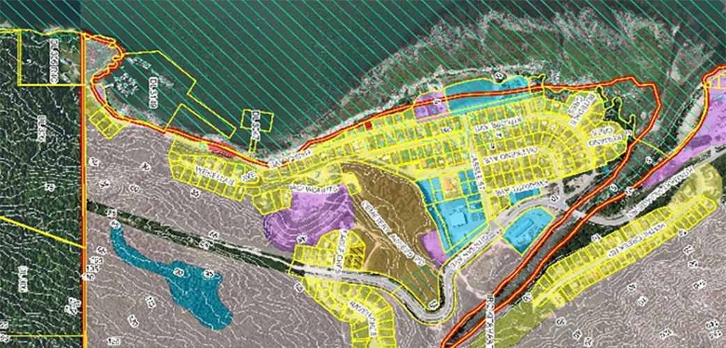
McElhanney’s GIS system, Vertisee, was used to identify potential land use conflicts and synergies, for a land use plan as part of the implementation of the First Nations Land Management Act for Haisla First Nation.
McElhanney completed an economic master sustainability study which reccomended providing water & wastewater servicing via a pump station.
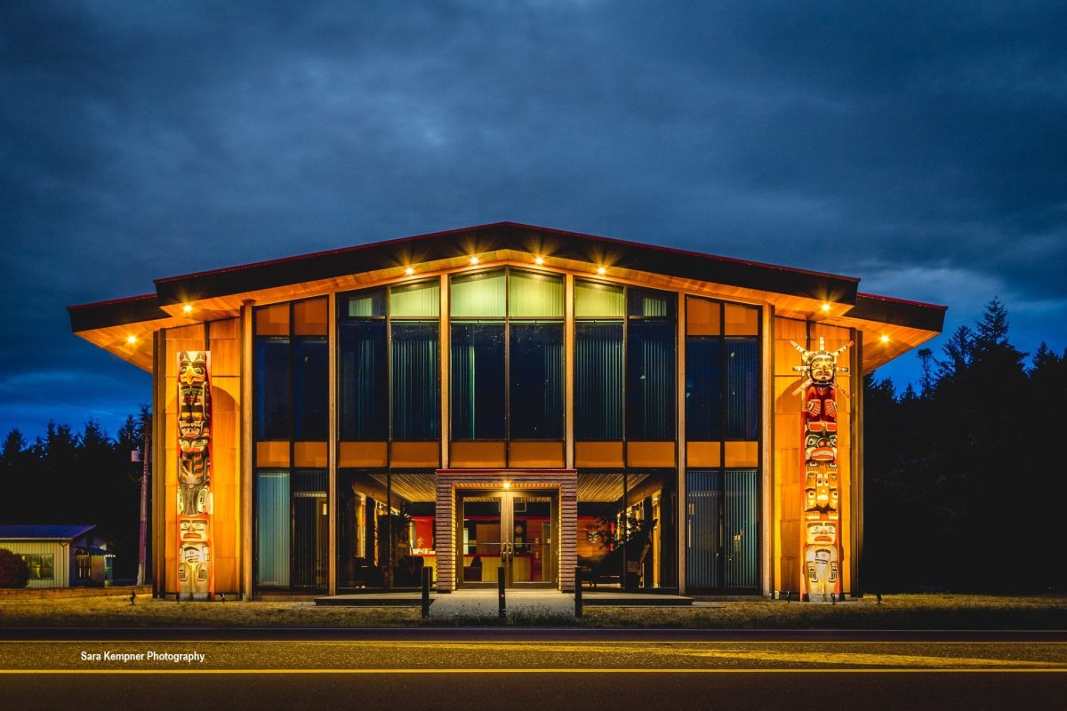
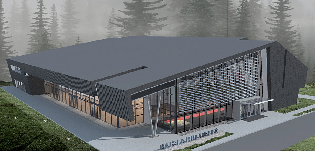
Haisla Multiplex – The Haisla Multiplex is a 40,000ft 2 High Importance category structure designed to serve several purposes. Not only is it a much-needed recreational space in the area, the building also converts into a shelter to act as post-disaster housing should a tsunami or other natural disaster occur.


