You are here:

GIS AND REMOTE SENSING

We use state-of-the-art drones, LiDAR, and other remote sensing equipment to be the eyes in the sky, on the ground, and below the water’s surface. We use the latest data tools to analyze, visualize, and understand. We use spatial tools, 3D models, and virtual / augmented reality to communicate our insights.

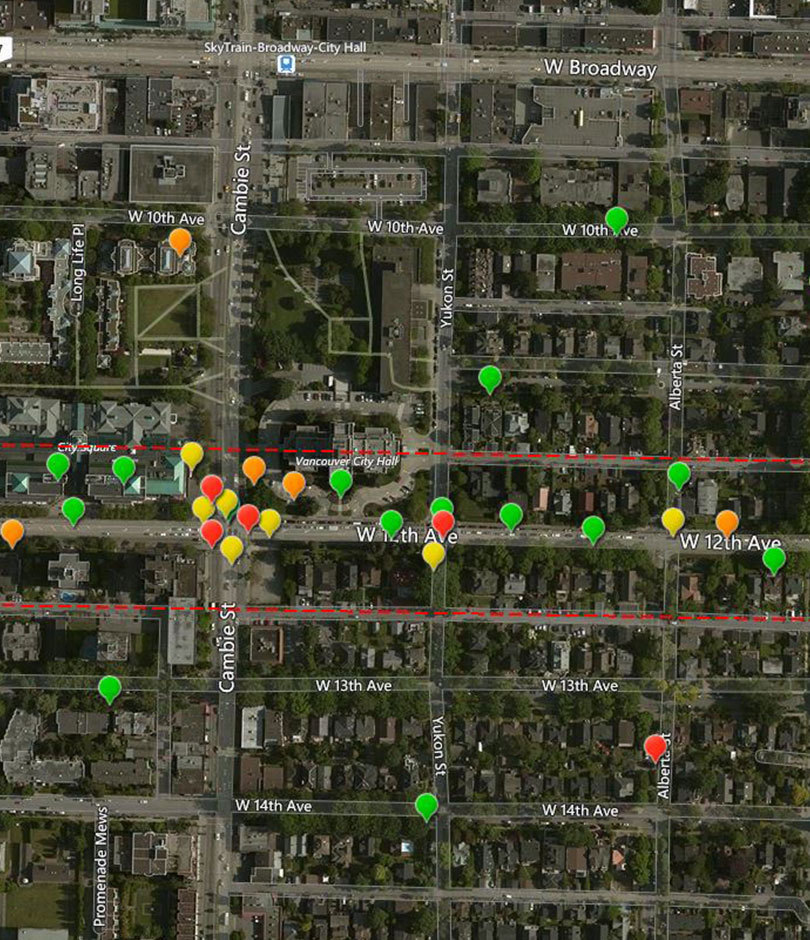
We’ve uncovered hidden cities in Cambodia, monitored Canadian LNG projects from ground to corporate offices in real time, and created crowd-sourcing apps to help improve neighborhoods. Working with our clients, we develop custom solutions to help them understand more than just the map, but a comprehensive landscape of valuable data.
GIS & Spatial Analysis

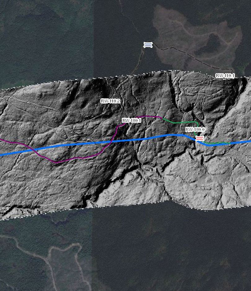
GIS technology allows us to improve our decision-making, create cost savings for clients and manage projects with accuracy. Along with our GIS software, we can better understand the spaces where we work and answer questions with confidence. Based on project scope, we provide our expertise to identify challenges and solve problems by creating intuitive project data management services.

  • Change / progress detection
  • Well & pad optimized design
  • Drainage analysis
  • Data collection
  • Web based mapping (2D and 3D)
  • Spatial Analysis
  • Paper Maps
  • Spatial optimization
  • Cut / fill
  • Drainage / hydrology
  • Pile / pit volumes
  • Public engagement
  • Crowd sourcing
  • Asset management
  • Field data collector apps
  • Field conditions assessments
  • Wayfinding
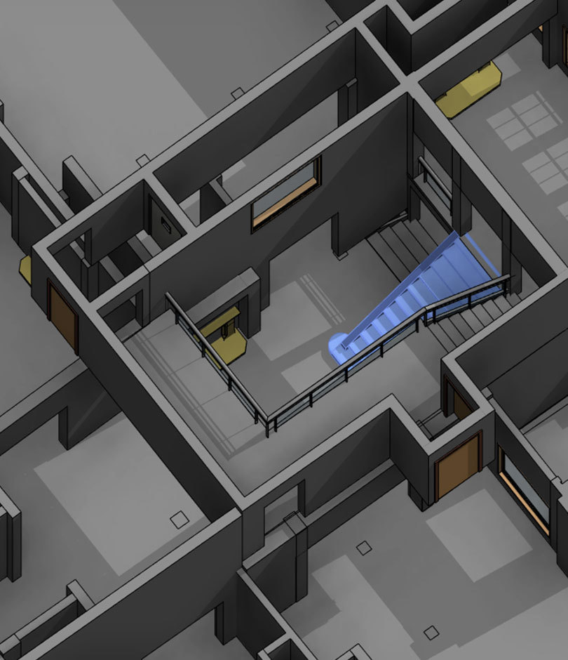
  • BIM Building Information Modeling
  • Project data management
  • Integrated site plans
  • Land use maps

To learn more about our online GIS and 3D modelling courses for mineral exploration click here.

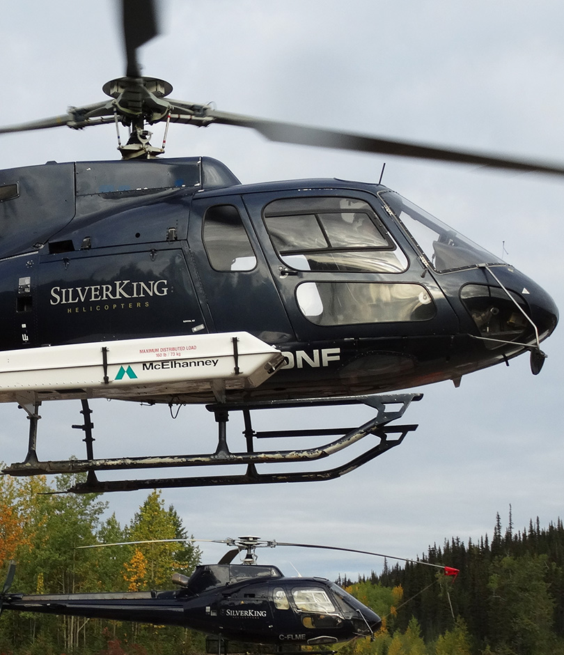
LiDAR on helicopter

Remote 3D Laser Scanning

Whether collecting data from a helicopter, a boat, or on the ground, McElhanney provides accurate data and models once thought impossible. Whether the data is collected from the air, through a mobile scan, or terrestrially, we deliver a high-quality service. 

  • Manned aircraft scanning including fixed wing or helicopters
  • Mobile scanning including trucks, ATVs and boats
  • Terrestrial scanning
  • As-built design
  • Architecture and culture heritage documentation
  • Civil engineering and monitoring
  • Topography and mining
Drones and Robotics

RPAS / Drones

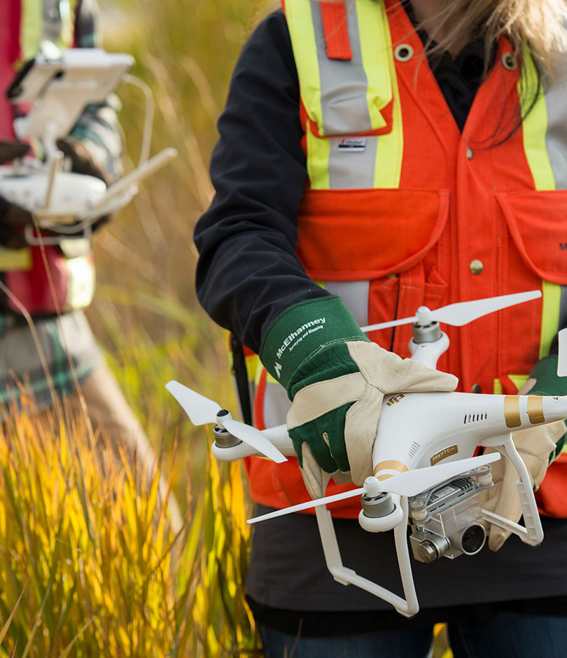
We harness Remotely Piloted Aircraft Systems (also known as RPAS, or drone) technologies to tackle a wide array of challenges from formidable, hazardous, and costly issues within the most technically complex engineering sectors to industry-standard and small-scale local projects. Our expertise lies in guiding you through any situation by providing tailor-made solutions to meet your needs.  

McElhanney is at the forefront of RPAS (Drone) technologies in Canada.  Our fleet of certified pilots and equipment is embedded in our over 30 branches and integrated with McElhanney’s multidisciplinary services. With 150+ pilots and over 60 registered drones, we leverage market leading sensor technologies including LiDAR, Photogrammetry, Multispectral, Thermal and Video payloads to execute and deliver reality capture services. 

  • 3D terrain modelling 
  • Change and anomaly detection. 
  • Volumetric analysis 
  • Asset inspection 
  • Vegetation monitoring through near-Infrared data and multispectral indices

Interested? Contact us at RPAS@mcelhanney.com.

Mapping

From data collection to final deliverable, McElhanney’s custom mapping products can help you identify key features of your project area, including sensitive areas, important boundaries, routes, and more. Below, are a few of the ways we can transform your project data into presentation-ready, interactive maps:

  • Aerial mapping
  • Topographic, planimetric mapping
  • Terrestrial scanning
  • Point clouds
  • Orthophotography
  • 3D Orthophoto colorized DEM
  • 3D structure models
  • Volume calculations
  • Pipeline mapping
  • Transmission line mapping
Augmented reality

Visualization & Virtual/Augmented Reality

McElhanney offers a range of visualization products to transform your project data into presentation-ready, user-friendly maps and renderings.

  • Video fly-throughs
  • Photogrammetry
  • Point clouds
  • Supervised / unsupervised classification
  • Artificial intelligence
  • Video VR / AR
  • Well pad and road optimization
  • As-built 3D modeling
  • 3D corridor mapping
  • Deformation monitoring
Vertisee

Vertisee

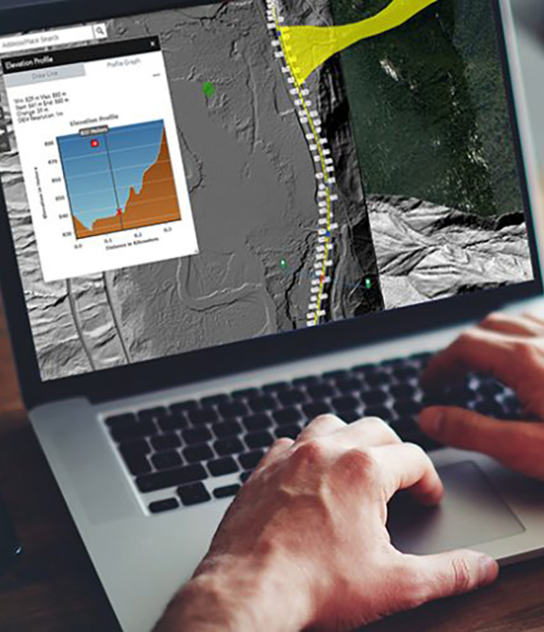
Vertisee is a web-based platform that integrates the power of Geographic Information Systems (GIS) with easy-to-use maps. It allows our clients to access project-by-project site data from any internet browser, at any time.

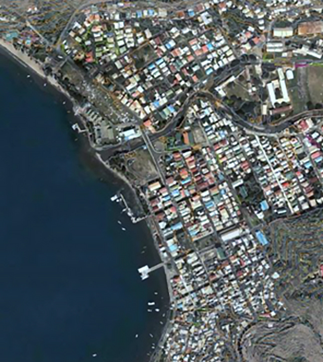
Aerial view

Digital Orthophoto

From the capture of raw digital RGBNiR frames, geo-referencing, and image recertification and enhancement, to the final orthophoto product, McElhanney delivers a quality, customized product in a cost-effective manner. We provide flight planning, acquisition and management of digital imagery, analytical rectification, and both hardcopy and softcopy outputs that fit your project needs.

  • Land use planning and inventory
  • Asset management
  • Engineering design
  • Wall murals
  • Base layer for cadastral / utility / landuse overlays
  • Emergency planning and management
  • Time series analysis
  • Navigation
  • Internet hosting
  • Vegetation health analysis (NiR channel)
  • Environmental analysis
  • Resource management
  • Map updating
  • Post-wildfire burn assessments