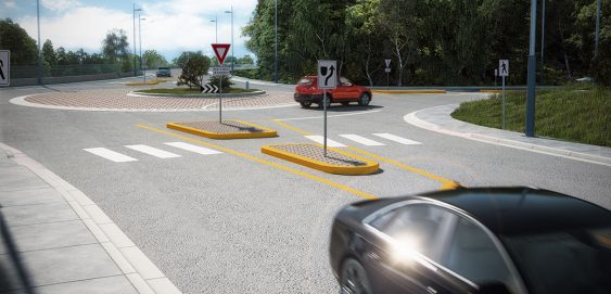
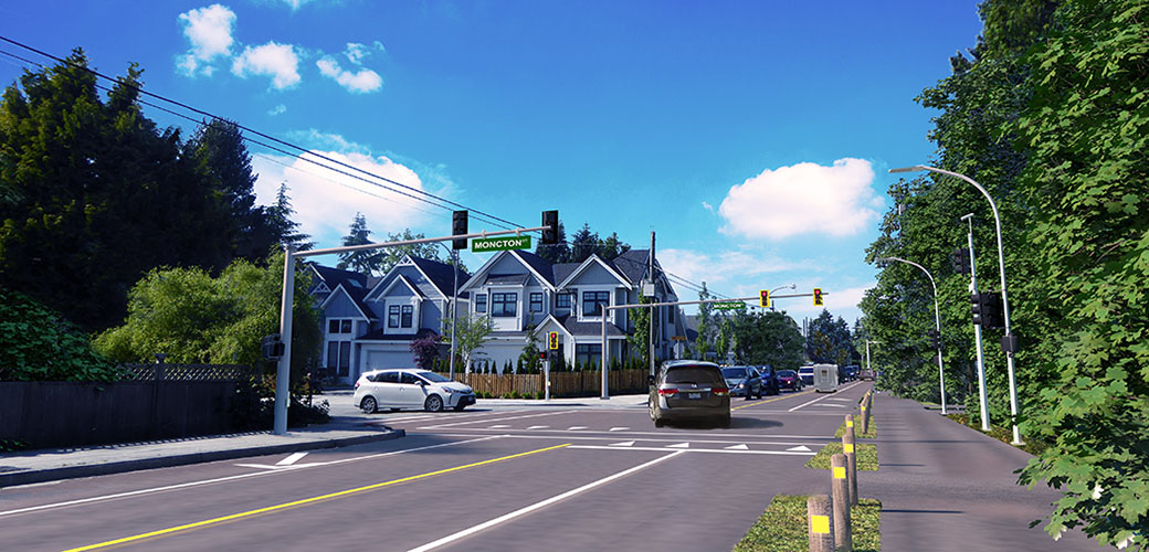
Skip to content
Search:

⚠️ WEBSITE OUTAGE NOTICE

LOGIN

CONTACT

Linkedin page opens in new windowX page opens in new windowFacebook page opens in new windowInstagram page opens in new window
McElhanney
McElhanneyMcElhanney
    • Home
    • About
    • Services
      • Geomatics
      • Engineering
      • Geospatial
      • Planning
      • Landscape Architecture
      • Environmental
    • Portfolio
    • Careers
      • Career Opportunities
      • Culture
      • Career Growth
      • Interns & New Graduates
    • News
    • Locations
    Linkedin Twitter Facebook Instagram
Banff Hot Springs Fly Through Demo
ZoomDetails

Banff Upper Hot Springs

Alberta, Cities & Communities, GIS & Remote Sensing, Market Sectors, Region, Visualization and Virtual/Augmented RealityBy Jenn KuhnSeptember 26, 2018

McElhanney created the Banff Upper Hot Springs 3D model using laser scanned data. This Virtual experience brings in weather and vegetation. Users can move around the historical site allowing them to view it in detail. This 3D model will provide our team with important details to support the project.

←12←
©2021 McElhanney, All Rights Reserved | Sitemap Privacy Policy Terms & Conditions Login Contact |
LinkedinTwitterFacebook Instagram
Go to Top