Asset Management Prioritization Tool | District of North Vancouver
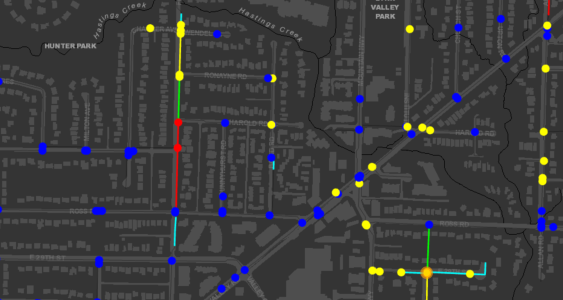
Asset Management Prioritization Tool 2022-2024 | North Vancouver, BC Supporting Data-driven Infrastructure Planning in North Vancouver As the District of North Vancouver continues to maintain and upgrade its water system, annual watermain replacement decisions require a clear understanding of risk, performance, and long-term needs. McElhanney partnered with the District to redevelop a critical GIS-based application…


