
Skip to content
Search:

LOGIN

MEDIA LIBRARY

CONTACT

Linkedin page opens in new windowFacebook page opens in new windowInstagram page opens in new window
McElhanney
McElhanneyMcElhanney
    • Home
    • About
    • Services
      • Geomatics
      • Engineering
      • Geospatial
      • Planning
      • Landscape Architecture
      • Environmental
    • Commitments
    • Portfolio
    • Careers
      • Career Opportunities
      • Culture
      • Career Growth
      • Interns & New Graduates
    • News
    • Locations
  • Home
  • About
  • Services
    • Geomatics
    • Engineering
    • Geospatial
    • Planning
    • Landscape Architecture
    • Environmental
  • Commitments
  • Portfolio
  • Careers
    • Career Opportunities
    • Culture
    • Career Growth
    • Interns & New Graduates
  • News
  • Locations
  • Linkedin Facebook Instagram
FLNRO North Coast Land Use Planning
ZoomDetails

FLNRO North Coast Land Use Planning

British Columbia, Energy & Resources, Geospatial, GIS & Spatial Analysis, Mapping, Market Sectors, Northern, Interior, Central BC, RegionBy Jenn KuhnDecember 11, 2017

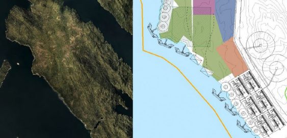
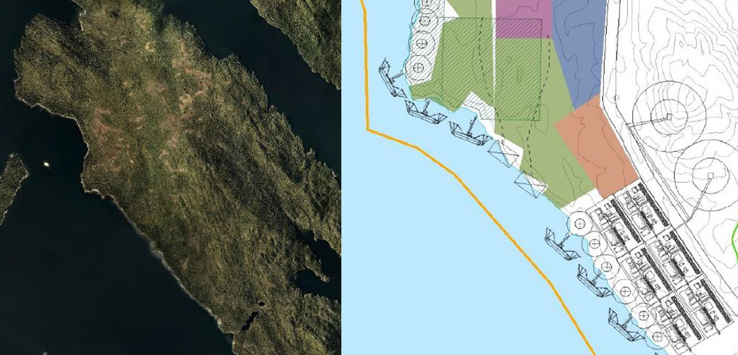
FLNRO North Coast Land Use Planning 2012-2014 | Kitimat & Prince Rupert, BC – McElhanney provided GIS and mapping support for the land use development plan for future LNG and industrial developments in the Kitimat and Prince Rupert regions of Northern BC.

←1234←
©2025 McElhanney, All Rights Reserved | Sitemap Privacy Policy Terms & Conditions Login Media Library Contact |
LinkedinFacebook Instagram
Go to Top