Watershed Wildfire Analysis: Climate-Informed Environmental Planning
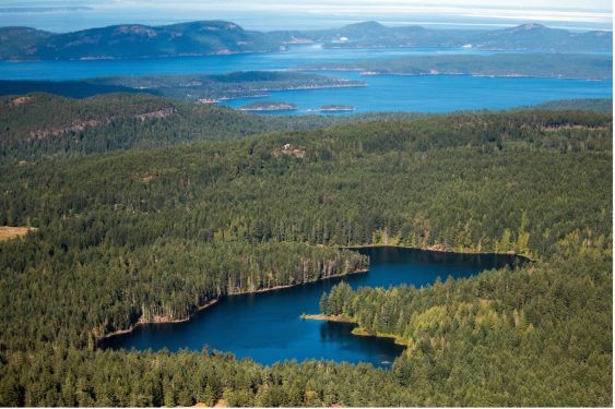
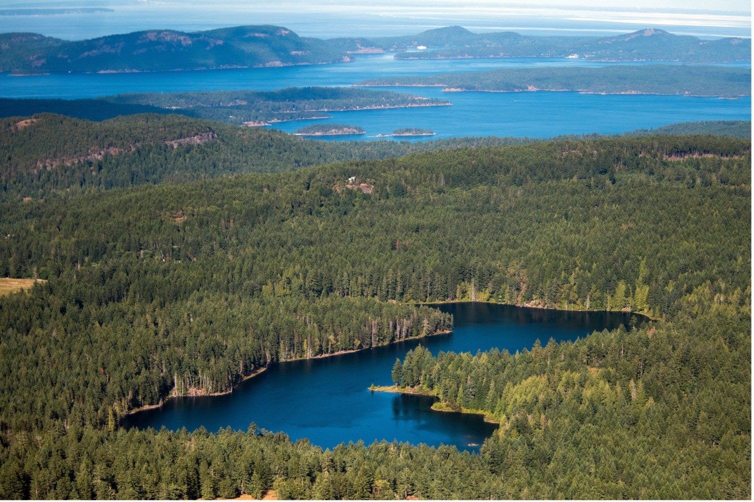
Wildfire Analysis for Maxwell Creek Watershed 2026 | Salt Spring Island, British Columbia Protecting watersheds under increasing wildfire risk As climate change accelerates wildfire risk across British Columbia, the protection of source water and ecologically sensitive watersheds is becoming a critical environmental priority. For communities that rely on surface water, wildfire can introduce long-term risks…
