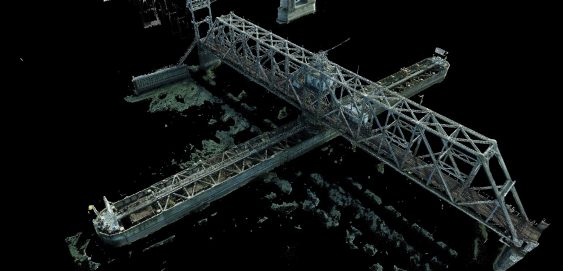
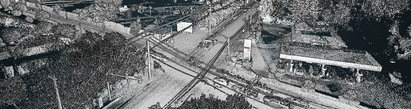
Fraser River Rail Bridge High-Definition Survey
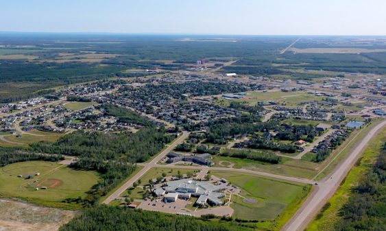
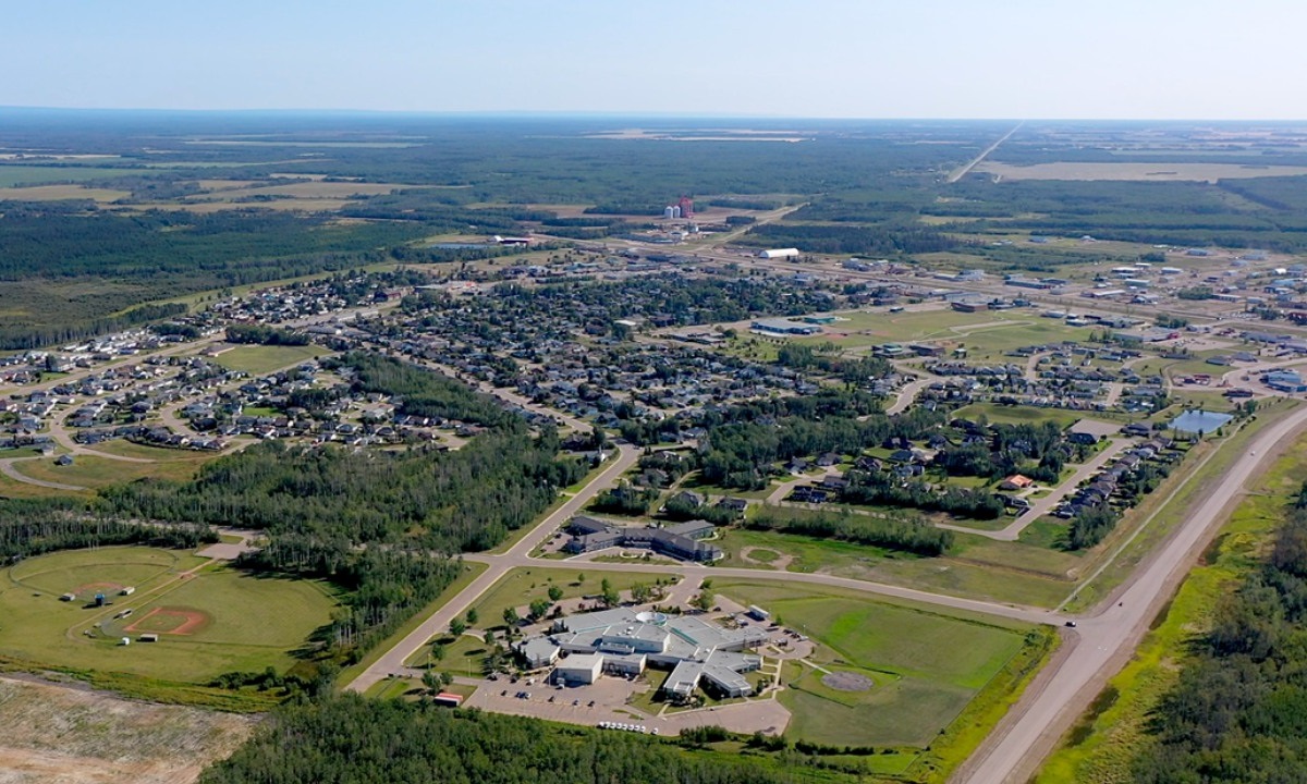
To support Stoney Creek Park trail system development, Camrose received grant funding to establish a Trail Master Plan for the Stoney Creek Valley.
To support Stoney Creek Park trail system development, Camrose received grant funding to establish a Trail Master Plan for the Stoney Creek Valley.
To support Stoney Creek Park trail system development, Camrose received grant funding to establish a Trail Master Plan for the Stoney Creek Valley.
The Town of Olds engaged McElhanney for infrastructure assessments including sanitary sewer and water main.
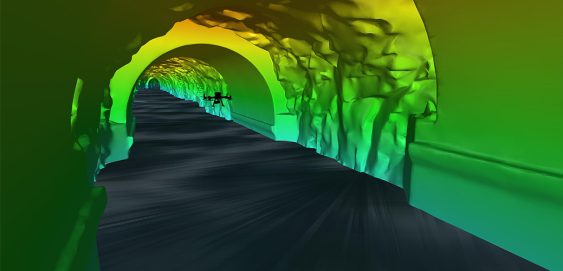
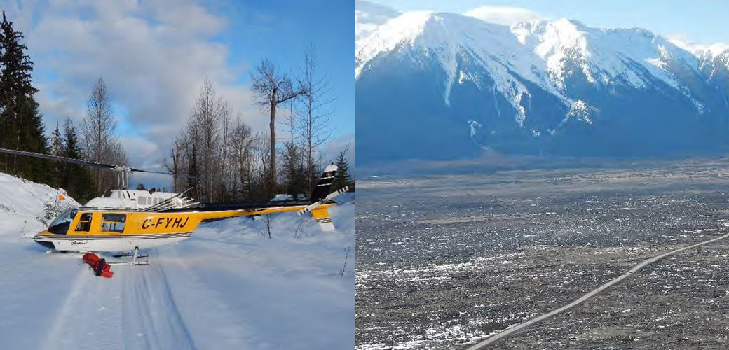
Inside a mountain in the Kitimat Ranges on BC’s northwest coast is a 475-metre long, 8-metre wide “tailrace” tunnel that transports the outflow water from the hydroelectric generation station in the mountain. The client, Rio Tinto, required a detailed interior survey of the tunnel for ongoing maintenance purposes and the tailrace could not be shut down for inspection. McElhanney provided bathymetric survey expertise to launch an autonomous drone mission that captured 3D scans of the tunnel interior to provide the client with the high-definition data they required for the structure.
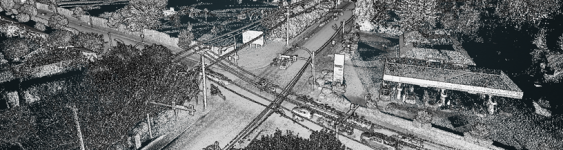
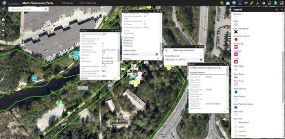
McElhanney designed and implemented a mobile field program and desktop conversion of various data sources to update Metro Vancouver Regional District’s spatial database of all assets owned and maintained by the Parks department.
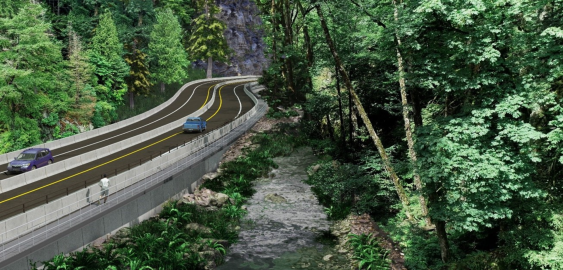
With the Malahat Corridor Improvement Project, the BC Ministry of Transportation & Infrastructure has been improving the safety of Hwy 1 by installing a median barrier and other upgrades. The stretch of highway which runs through Goldstream Provincial Park is challenging to design solutions for, as it is constrained by the river immediately running next to it, and by park lands on both sides.
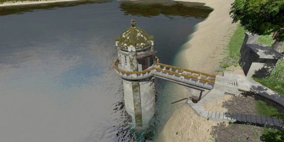
The survey work for the intake tower included GPS, 3D laser scanning, UAV, and multi-beam bathymetry. The team used GPS to establish primary control from which to base the survey, and then extended that control network around the site with a conventional total station.
The Prince Rupert Gas Transmission Project (PRGTP) is a proposed 900 kilometre natural gas pipeline running from Hudson’s Hope to Lelu Island on the BCs North Coast. This project involved extensive digital data collection in the field using the latest technology and continual updates to Vertisee, McElhanney’s own web-based GIS mapping platform.
