
Yaq̓it ʔa·knuqǂiʔit (Tobacco Plains) Land Use Plan
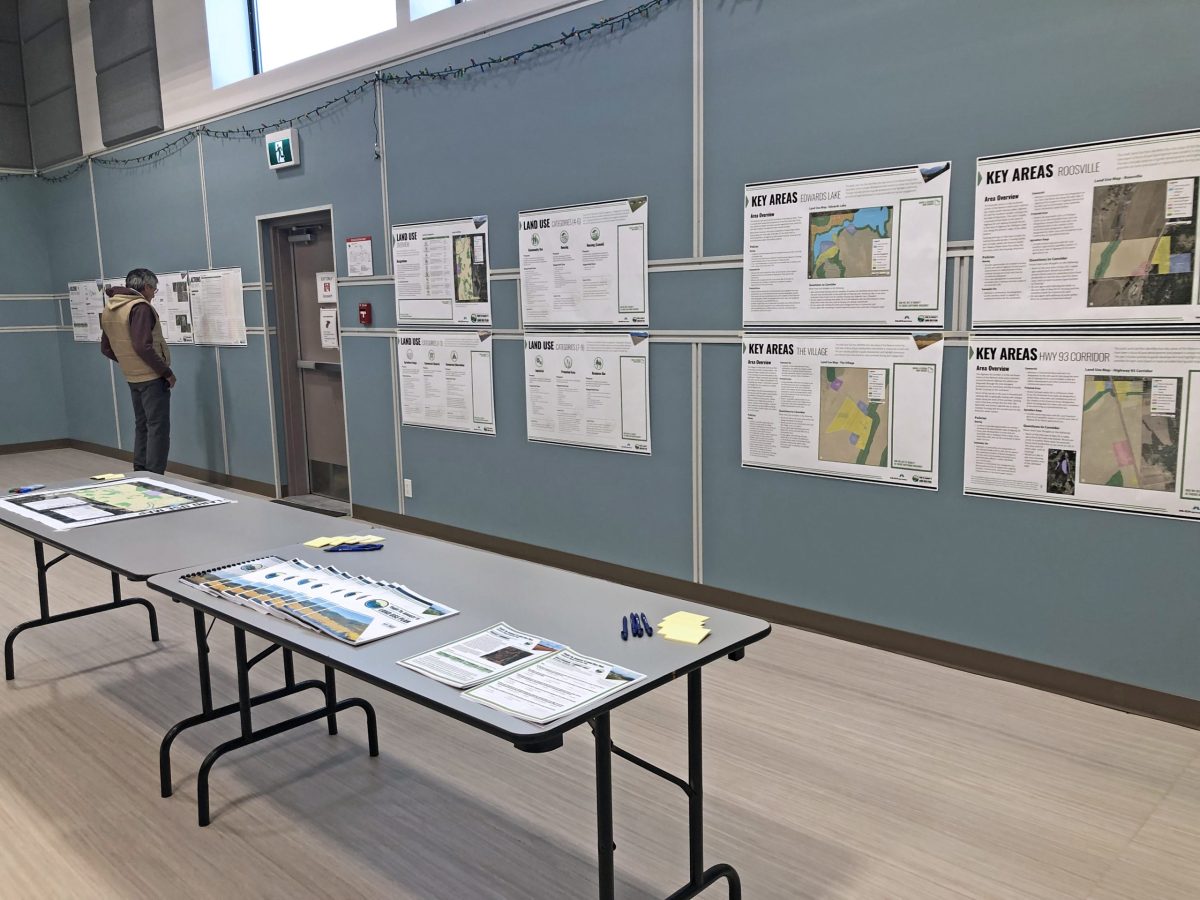
The Yaq̓it ʔa·knuqǂiʔit (Tobacco Plains) First Nation wished to create and implement a land use plan to meet the needs of its people.
The Yaq̓it ʔa·knuqǂiʔit (Tobacco Plains) First Nation wished to create and implement a land use plan to meet the needs of its people.
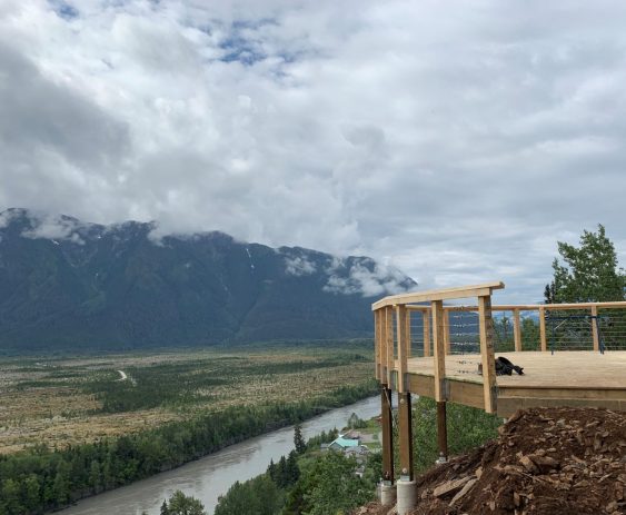
The Nisga’a Village of Gitwinksihlkw was ready for a Trail Master Plan and Detailed Design for their Saasak Hills Trail and River Walk.
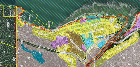
McElhanney’s GIS system, Vertisee, was used to identify potential land use conflicts and synergies, for a land use plan as part of the implementation of the First Nations Land Management Act for Haisla First Nation.
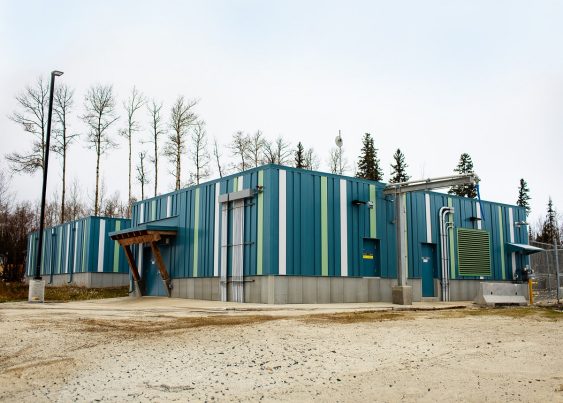
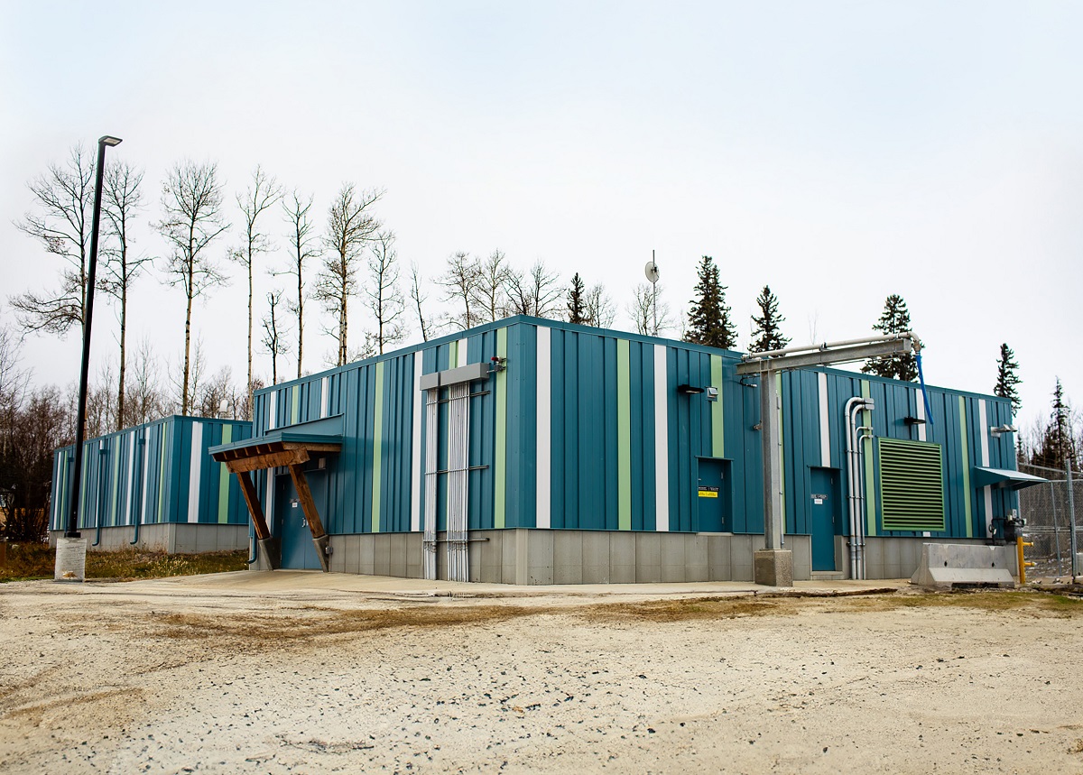
McElhanney completed an economic master sustainability study which reccomended providing water & wastewater servicing via a pump station.
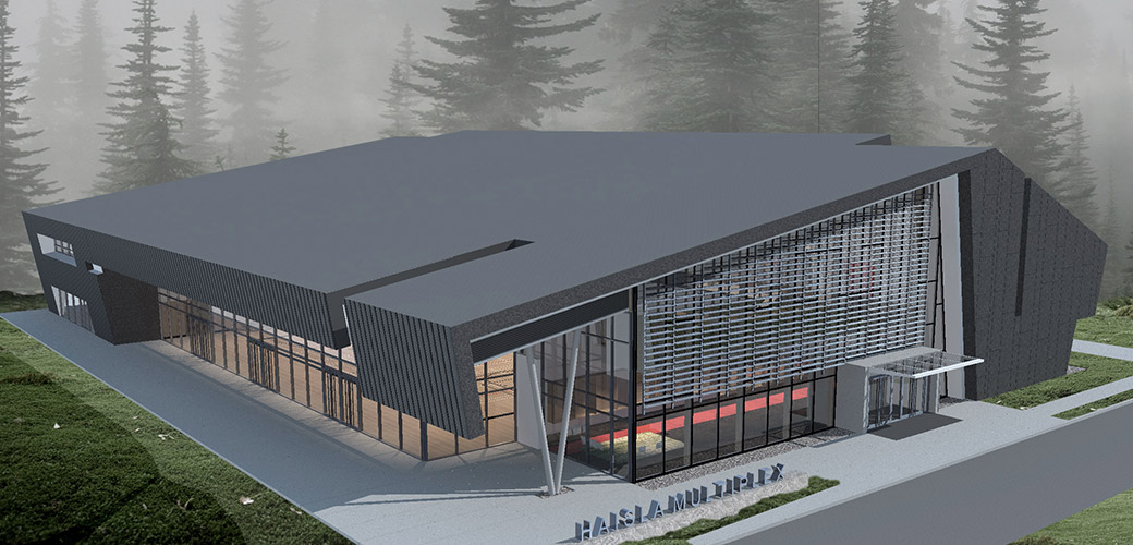
Haisla Multiplex – The Haisla Multiplex is a 40,000ft 2 High Importance category structure designed to serve several purposes. Not only is it a much-needed recreational space in the area, the building also converts into a shelter to act as post-disaster housing should a tsunami or other natural disaster occur.
