Haisla Land Use Planning
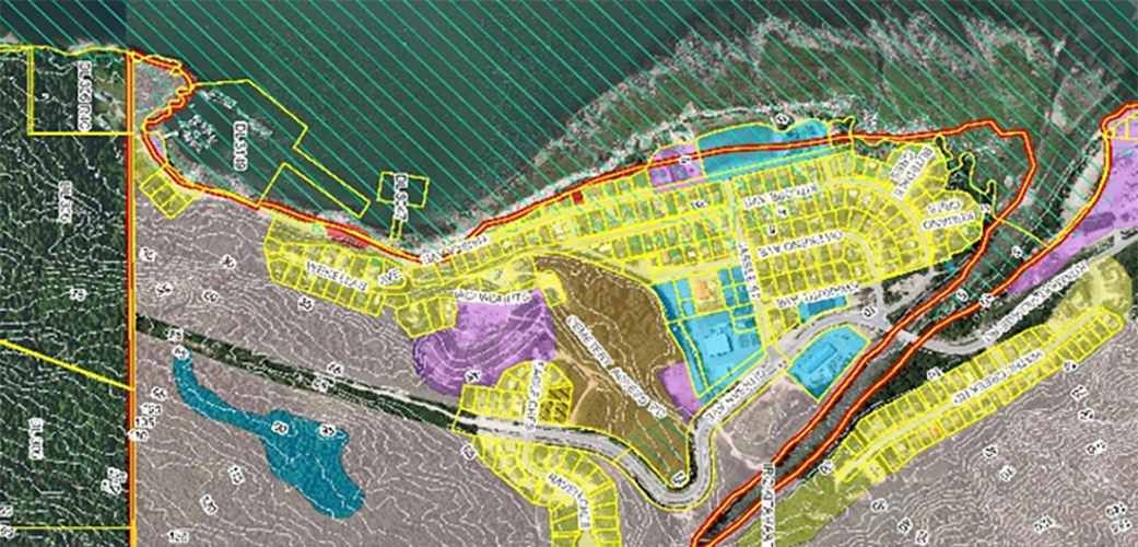
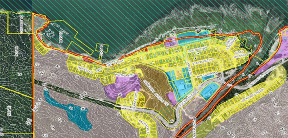
McElhanney’s GIS system, Vertisee, was used to identify potential land use conflicts and synergies, for a land use plan as part of the implementation of the First Nations Land Management Act for Haisla First Nation.

McElhanney’s GIS system, Vertisee, was used to identify potential land use conflicts and synergies, for a land use plan as part of the implementation of the First Nations Land Management Act for Haisla First Nation.
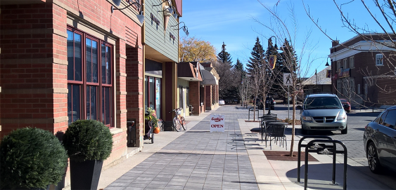
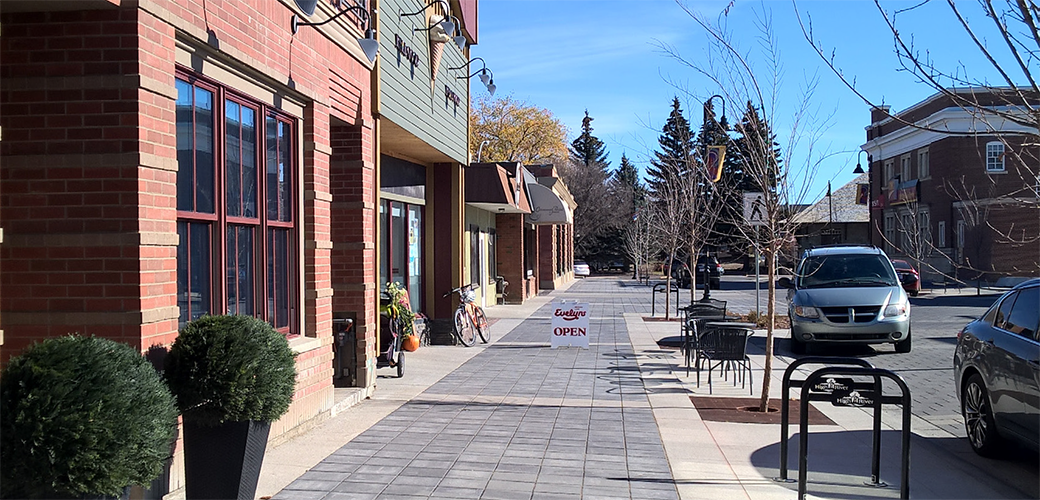
High River, AB – The Town of High River, Alberta, had an outdated set of bylaws which dated back to 1980. McElhanney was retained to re-write the Town’s Land Use Bylaw based entirely on walkability; the first of its find in Alberta.