
Kitimat Flood Risk Mitigation Strategy
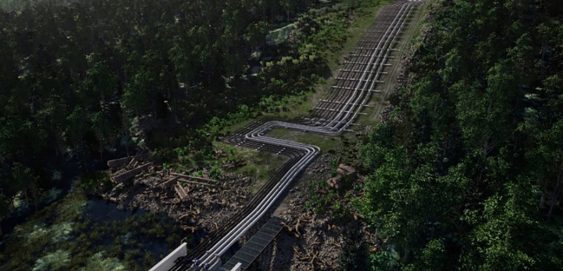
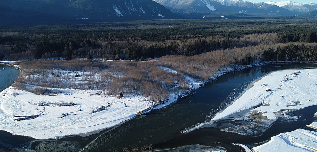
This project began as other flood mapping projects do: the existing flood maps were from 1982 and the District of Kitimat knew that they required an update.
3
This project began as other flood mapping projects do: the existing flood maps were from 1982 and the District of Kitimat knew that they required an update.
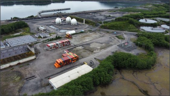
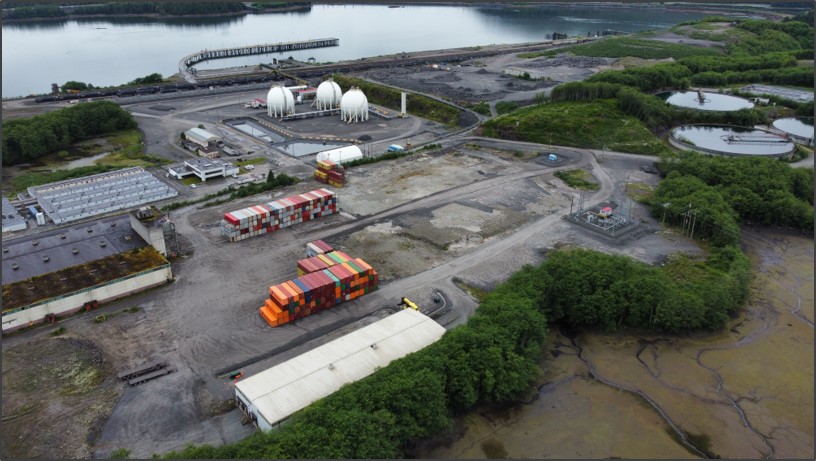
Because of the Watson Island Redevelopment Project, the Prince Rupert community has witnessed a new beginning for the site of a former pulp mill.
McElhanney’s in house web mapping platform, Vertisee, was used to host all of the relevant project information including current and historical assets, orthophoto, LiDAR and field crew assessments.
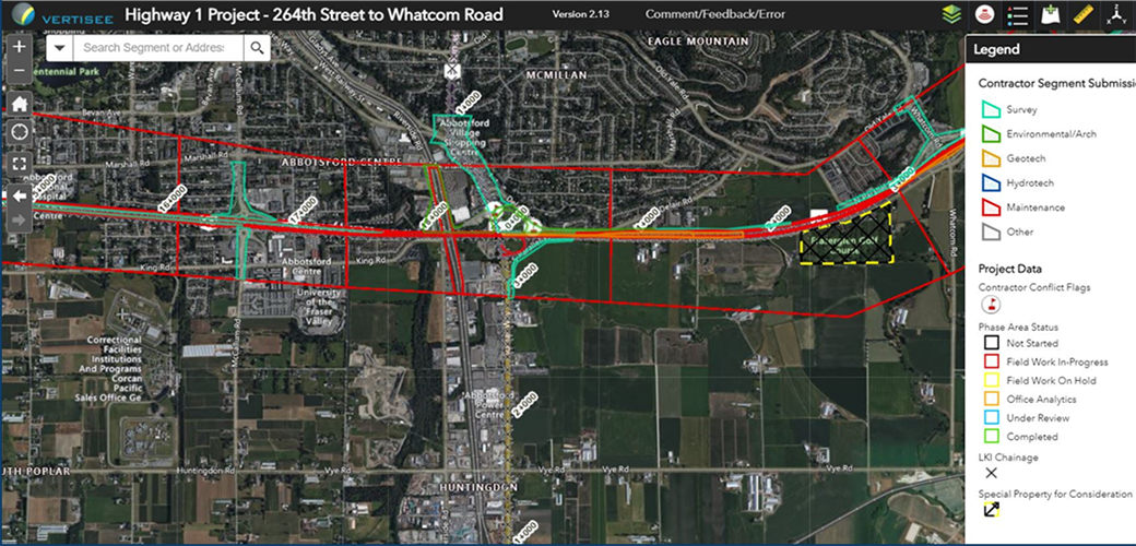
McElhanney deployed Vertisee, its own web-based mapping solution, and developed a tool within it which allowed multiple consultant / subcontractors to submit work simultaneously during the Highway 1 road upgrades.
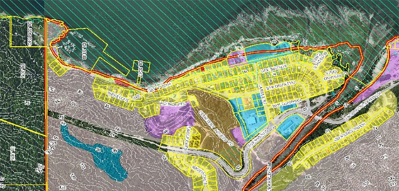
McElhanney’s GIS system, Vertisee, was used to identify potential land use conflicts and synergies, for a land use plan as part of the implementation of the First Nations Land Management Act for Haisla First Nation.
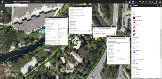
McElhanney designed and implemented a mobile field program and desktop conversion of various data sources to update Metro Vancouver Regional District’s spatial database of all assets owned and maintained by the Parks department.
McElhanney’s multi-disciplinary team leveraged their professional expertise on multiple projects for the Attachie / Altares Development.
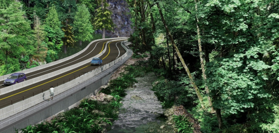
With the Malahat Corridor Improvement Project, the BC Ministry of Transportation & Infrastructure has been improving the safety of Hwy 1 by installing a median barrier and other upgrades. The stretch of highway which runs through Goldstream Provincial Park is challenging to design solutions for, as it is constrained by the river immediately running next to it, and by park lands on both sides.
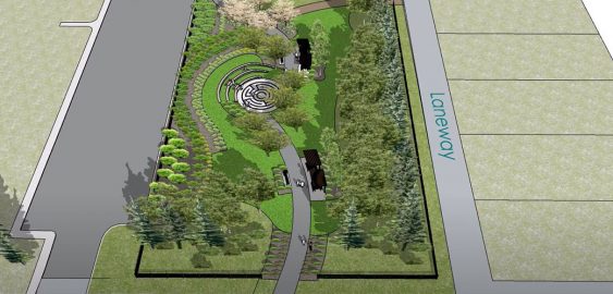
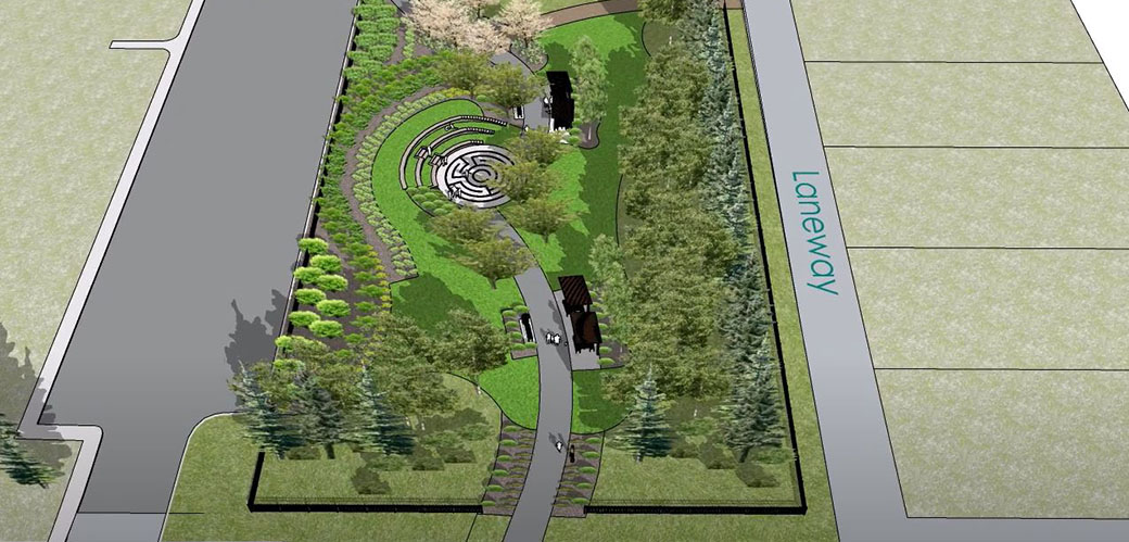
Working closely with the town, McElhanney proposed new designs for these parks that will add a fresh sense of place to the community and give residents spaces where they can relax and reconnect with nature.
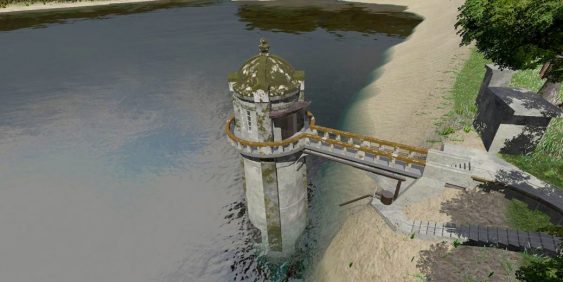
The survey work for the intake tower included GPS, 3D laser scanning, UAV, and multi-beam bathymetry. The team used GPS to establish primary control from which to base the survey, and then extended that control network around the site with a conventional total station.
