
Whistlers Campground Rehabilitation and Upgrade
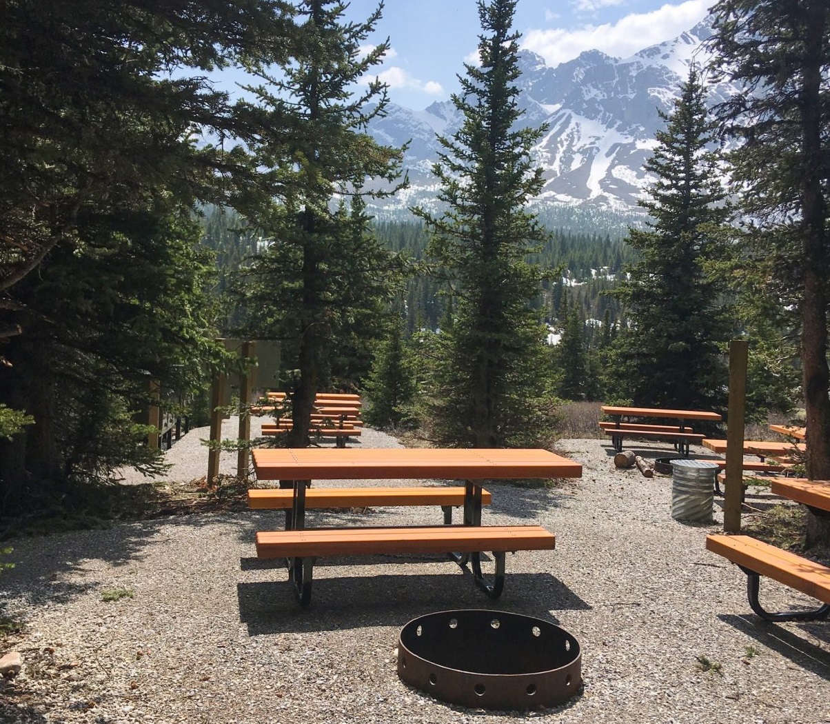
McElhanney worked with Parks Canada on the Whistlers Campground Rehabilitation and set a design standard for campgrounds along the way.
4
McElhanney worked with Parks Canada on the Whistlers Campground Rehabilitation and set a design standard for campgrounds along the way.
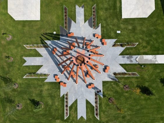
McElhanney contributed to a firepit structure and a welcome sign, both of which were designed to honor the land, for Fort McMurray #468 First Nation.
The next logical step for the BC Powersports Coalition was the development of a best practices guide to inform development in BC.
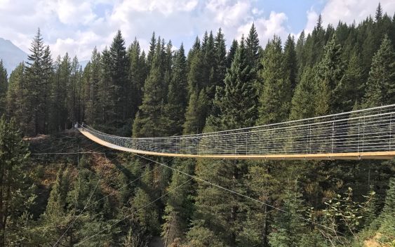
Blackshale Creek Bridge provides a special experience on the High Rockies Trail and allows users to avoid the steep creek bed.
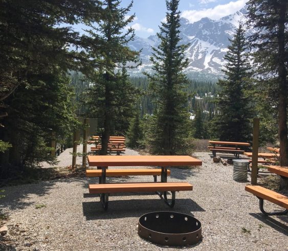
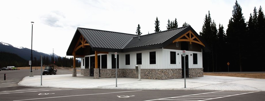
After thirty years of use with no upgrades and increased visitation, Alberta Parks was ready to redesign Tombstone Backcountry Campground.
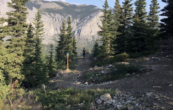
As the popularity of the Yamnuska recreation area grew over recent years, so did the number of rescues. Could improved trails reduce risk?
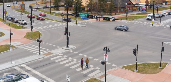
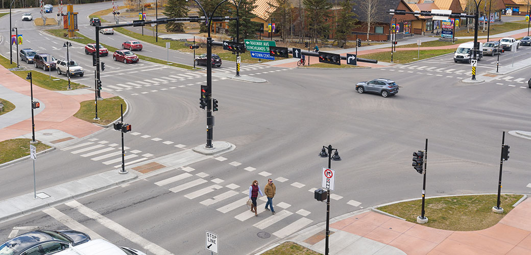
As part of its Transportation Initiatives Projects 2020, the Town of Canmore sought to transform the Benchlands Trail and Bow Valley Trail intersection with multi-modal safety improvements to better protect all road users. This included fully separated facilities for pedestrians, cyclists, and motorists to integrate with Canmore’s existing Complete Streets system and enhance active transportation in the area.
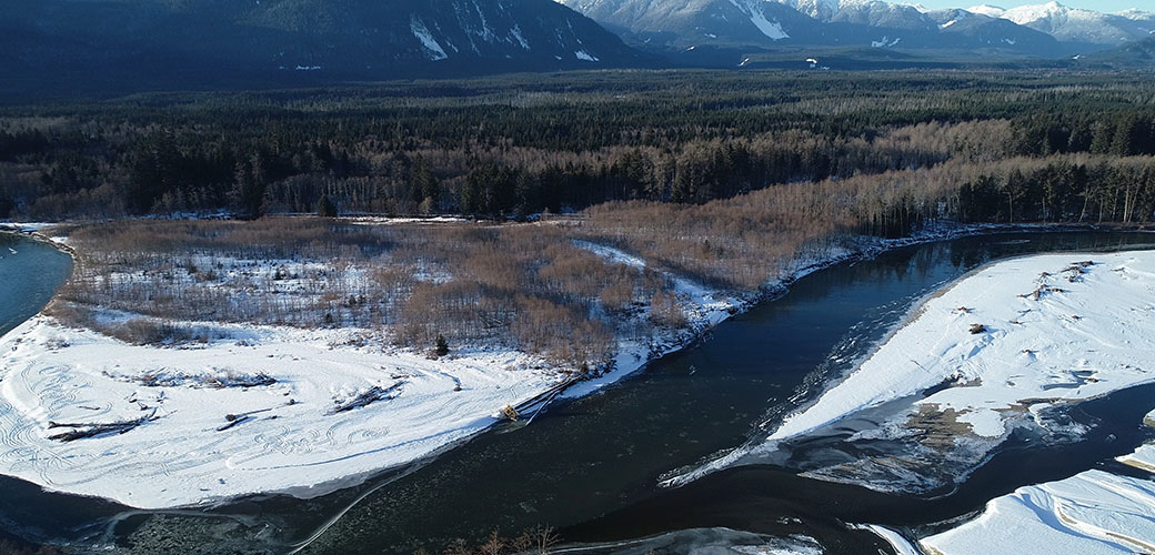
This project began as other flood mapping projects do: the existing flood maps were from 1982 and the District of Kitimat knew that they required an update.
Integrating a Transportation Master Plan with an Urban Framework Master Plan opened the door for multiple improvements to be made in tandem.
The Nisga’a Village of Gitwinksihlkw was ready for a Trail Master Plan and Detailed Design for their Saasak Hills Trail and River Walk.


