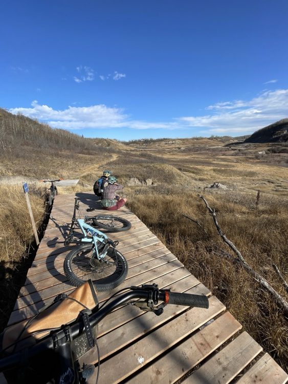
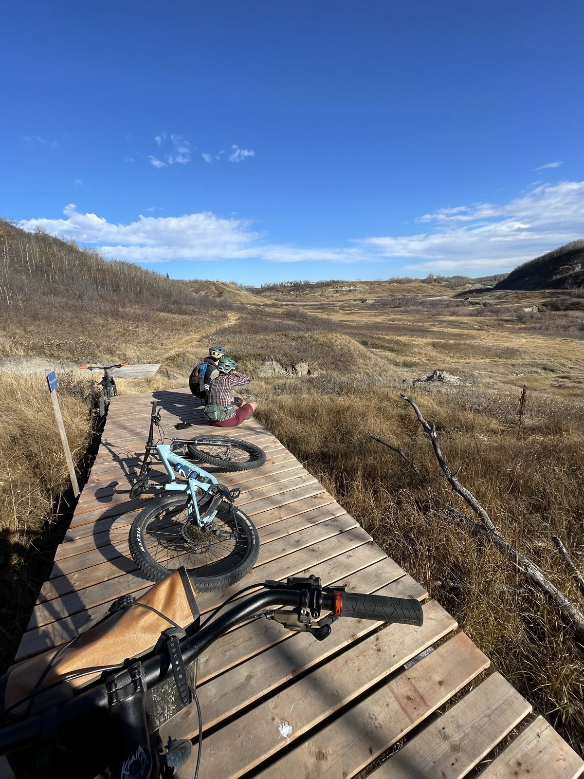
Stoney Creek Park Trail System
To support Stoney Creek Park trail system development, Camrose received grant funding to establish a Trail Master Plan for the Stoney Creek Valley.
To support Stoney Creek Park trail system development, Camrose received grant funding to establish a Trail Master Plan for the Stoney Creek Valley.
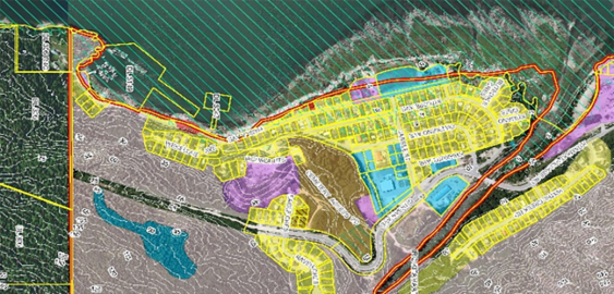
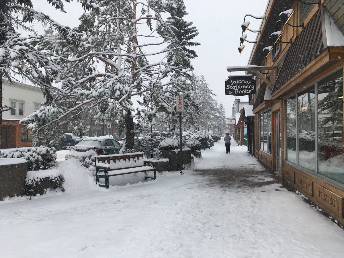
Smithers maintained a strong mountain town identity and sense of place, and wanted future growth to be managed by an OCP that respected community values.
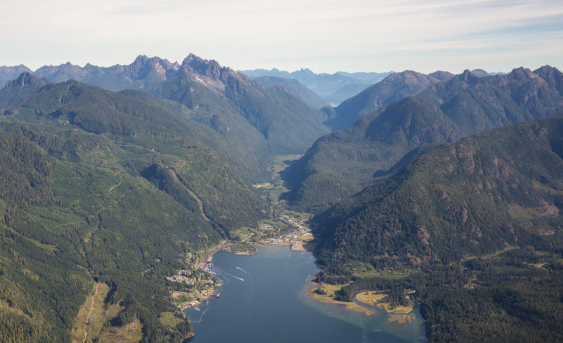
In the face of that seasonal population growth, the Village of Tahsis recognized that an updated Official Community Plan (OCP) was needed.
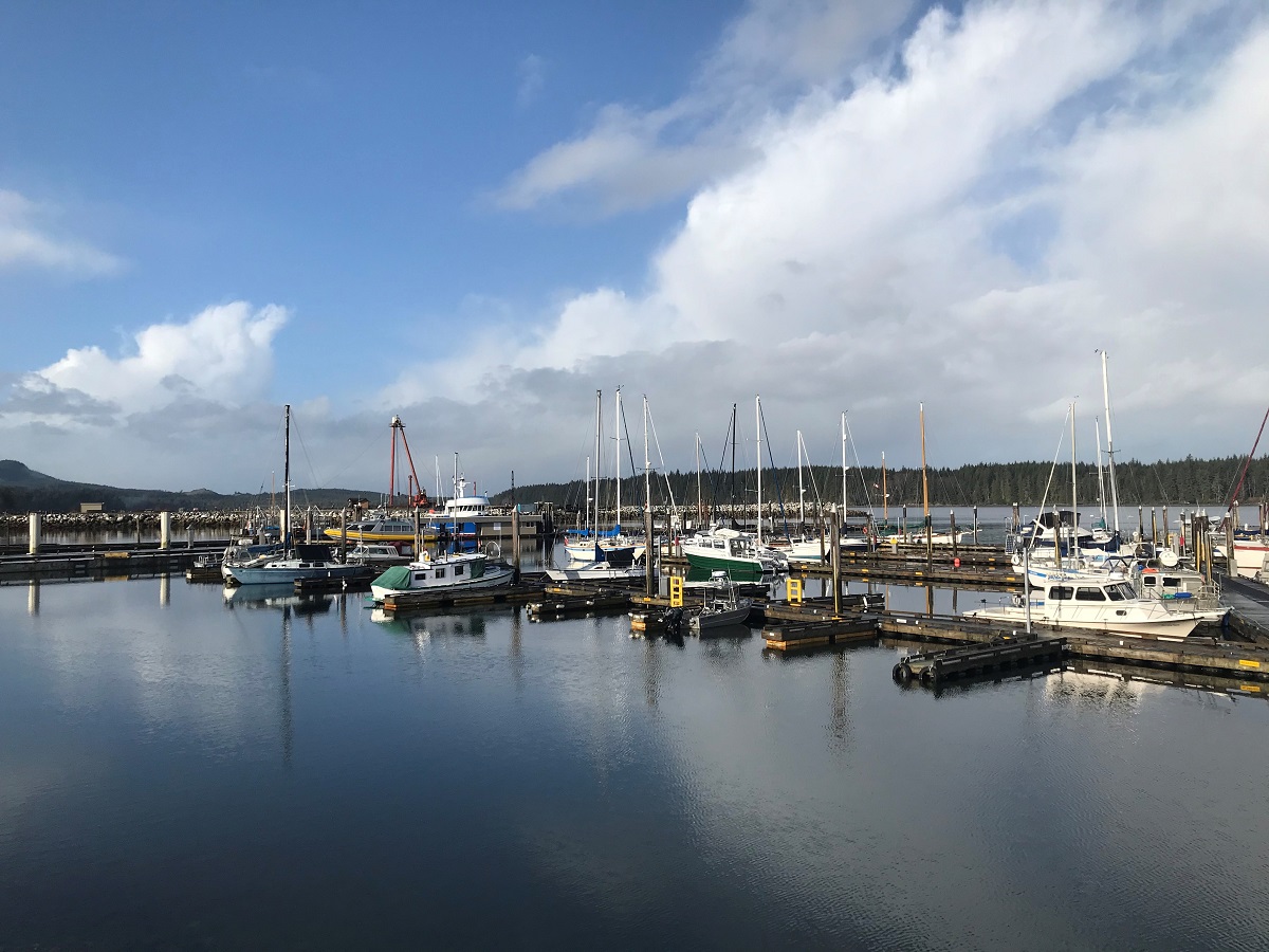
Port McNeill recognized that an updated Official Community Plan (OCP) would establish guidelines for the future of the community.
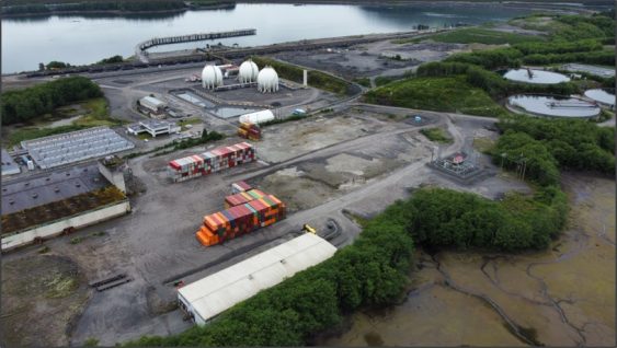
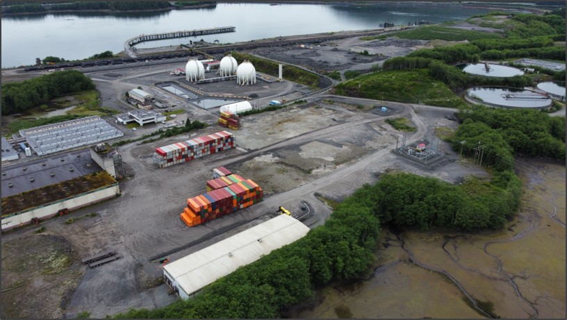
Because of the Watson Island Redevelopment Project, the Prince Rupert community has witnessed a new beginning for the site of a former pulp mill.
McElhanney’s in house web mapping platform, Vertisee, was used to host all of the relevant project information including current and historical assets, orthophoto, LiDAR and field crew assessments.
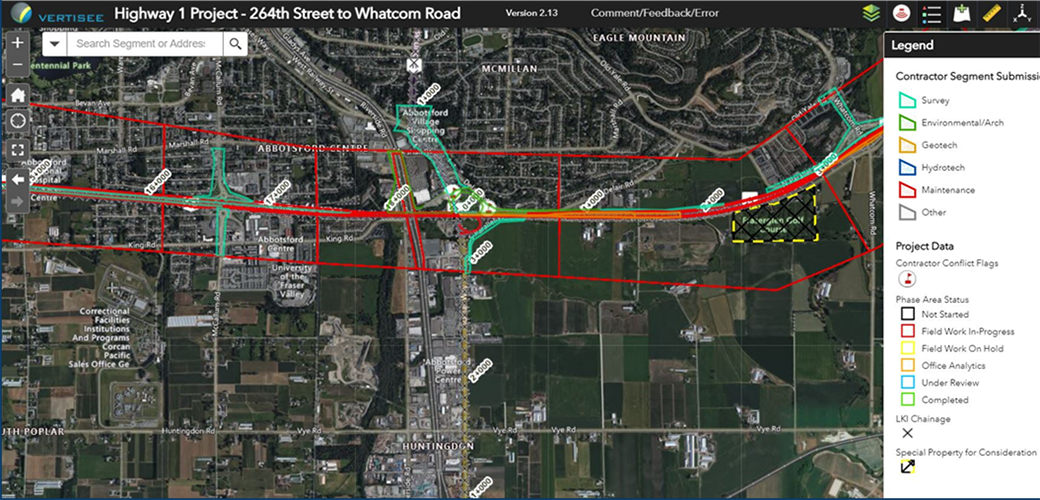
McElhanney deployed Vertisee, its own web-based mapping solution, and developed a tool within it which allowed multiple consultant / subcontractors to submit work simultaneously during the Highway 1 road upgrades.
McElhanney’s GIS system, Vertisee, was used to identify potential land use conflicts and synergies, for a land use plan as part of the implementation of the First Nations Land Management Act for Haisla First Nation.
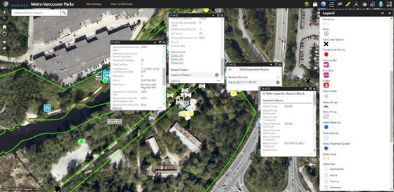
McElhanney designed and implemented a mobile field program and desktop conversion of various data sources to update Metro Vancouver Regional District’s spatial database of all assets owned and maintained by the Parks department.
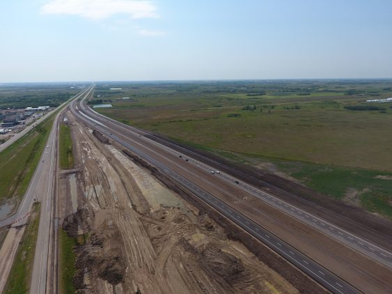
The Warman & Martensville Interchanges or Overpasses located on Highway 12 at Martensville and Highway 11 at Warman, will improve safety for two of the fastest growing communities in Saskatchewan.


