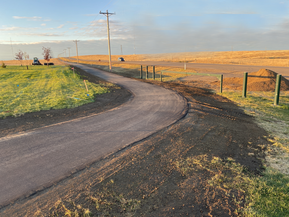
Kinbrook Connection Pathway Partnership
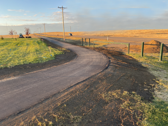
A trail featuring lake views, grasslands, and shorebird habitats, McElhanney was proud to be involved with the Kinbrook Connection Pathway.
5
A trail featuring lake views, grasslands, and shorebird habitats, McElhanney was proud to be involved with the Kinbrook Connection Pathway.
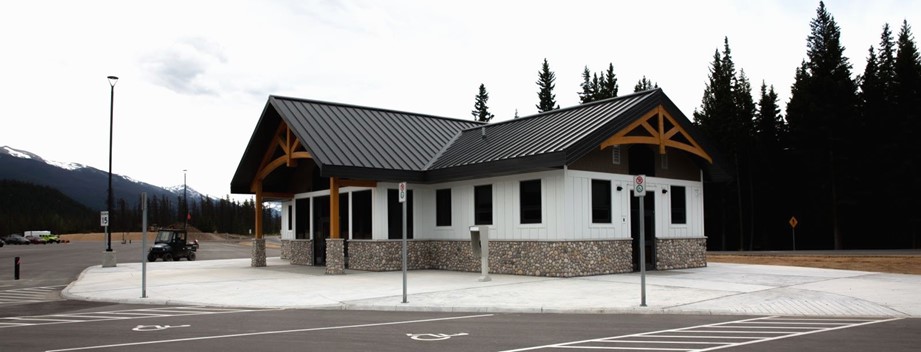
McElhanney worked with Parks Canada on the Whistlers Campground Rehabilitation and set a design standard for campgrounds along the way.
In 2020, KFN embarked on a multi-year improvement program to help them do their infrastructure management business in a different way.
The next logical step for the BC Powersports Coalition was the development of a best practices guide to inform development in BC.
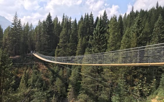
Blackshale Creek Bridge provides a special experience on the High Rockies Trail and allows users to avoid the steep creek bed.
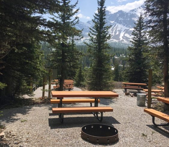
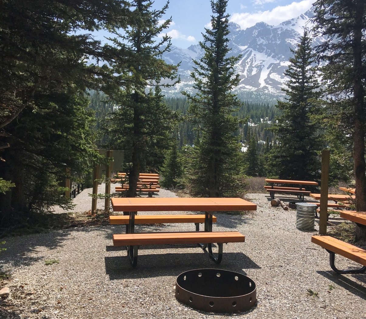
After thirty years of use with no upgrades and increased visitation, Alberta Parks was ready to redesign Tombstone Backcountry Campground.
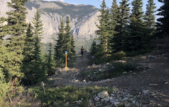
As the popularity of the Yamnuska recreation area grew over recent years, so did the number of rescues. Could improved trails reduce risk?
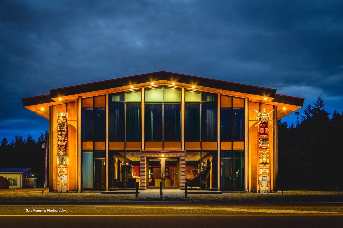
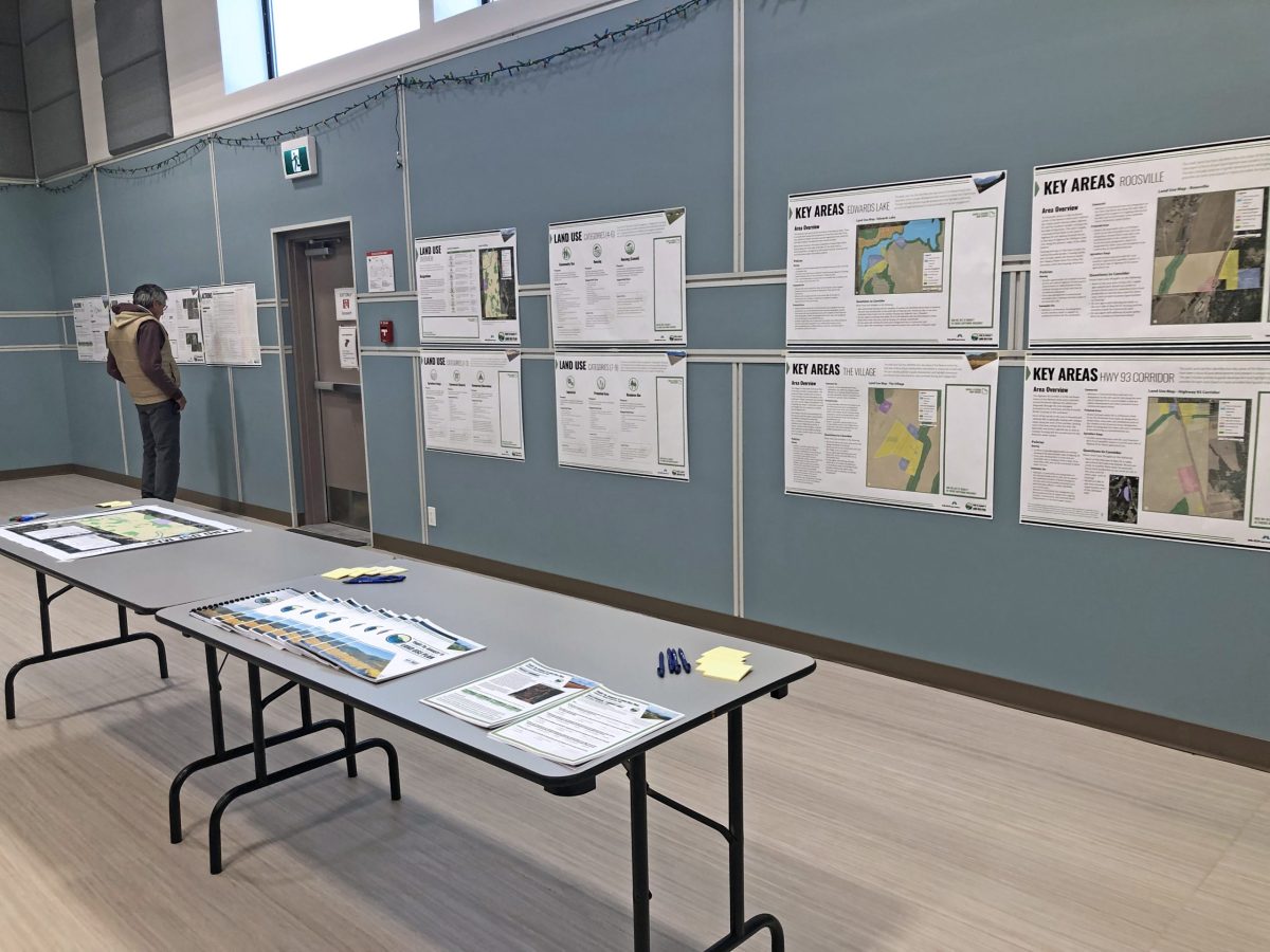
The Yaq̓it ʔa·knuqǂiʔit (Tobacco Plains) First Nation wished to create and implement a land use plan to meet the needs of its people.
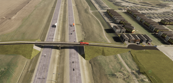
During Phase 1 of this project, a network planning study was conducted to recommend the location(s) of future east-west flyovers over the Calgary Ring Road (Stoney Trail). With continued growth in and adjacent to northeast Calgary, additional travel corridors across Stoney Trail needed to be identified and planned in order to provide connectivity to new residential and commercial communities east of Stoney Trail.
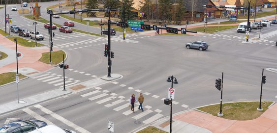
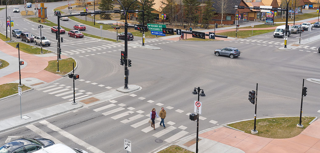
As part of its Transportation Initiatives Projects 2020, the Town of Canmore sought to transform the Benchlands Trail and Bow Valley Trail intersection with multi-modal safety improvements to better protect all road users. This included fully separated facilities for pedestrians, cyclists, and motorists to integrate with Canmore’s existing Complete Streets system and enhance active transportation in the area.


