
Skuppah Food Security Centre
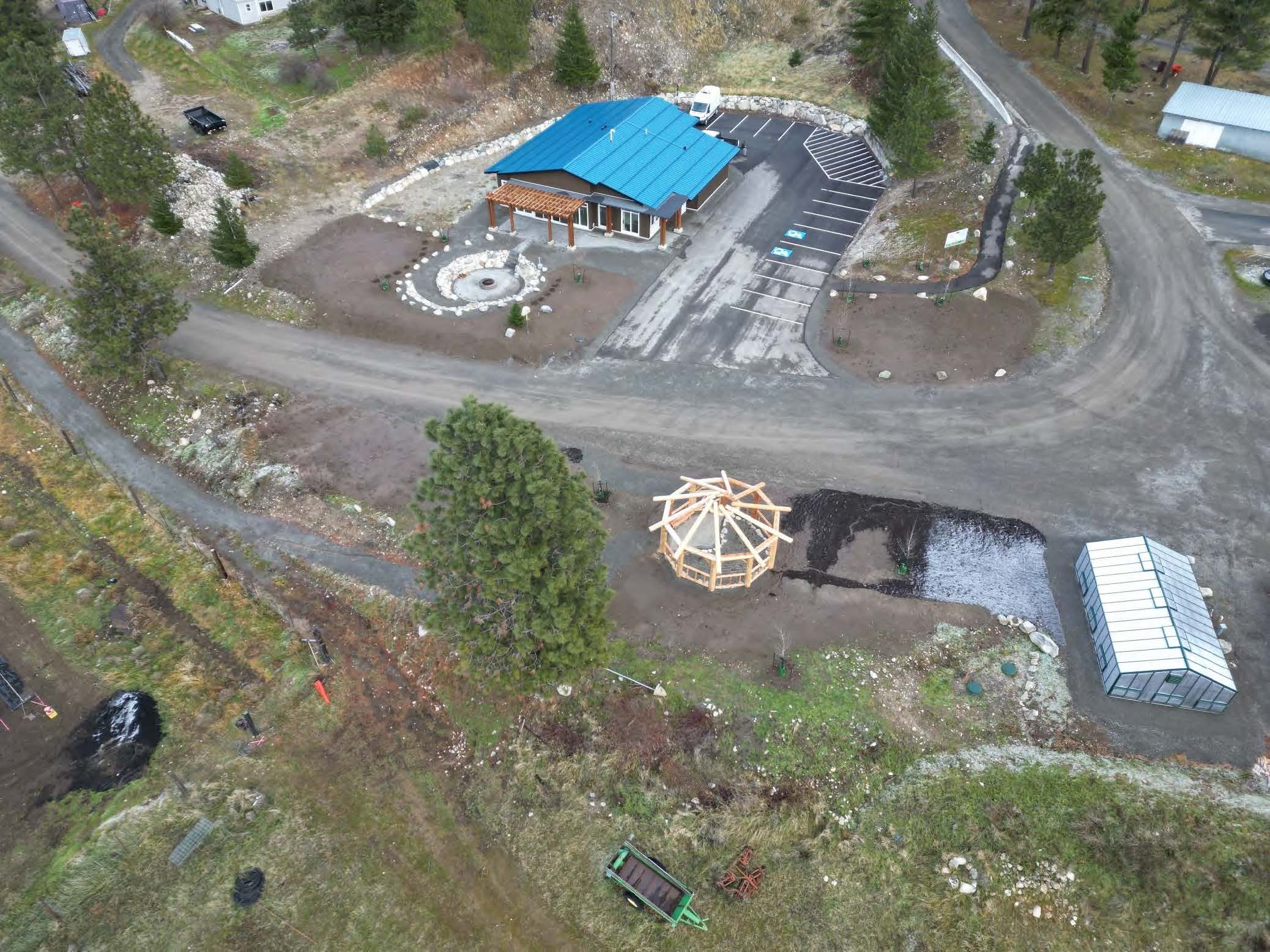
Skuppah Food Security Centre 2021-2024 | Lytton, BC Skuppah is located along the transportation corridor just downriver of the junction of the Thompson and Fraser Rivers two kilometers south of Lytton, BC. Skuppah is a member band of the Nlaka’pamux Nation Tribal Council, the Union of BC Indian Chiefs, and the BC Assembly of First…


