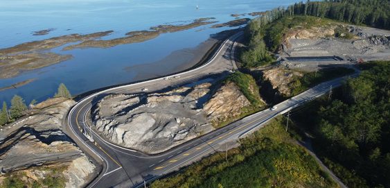
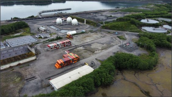
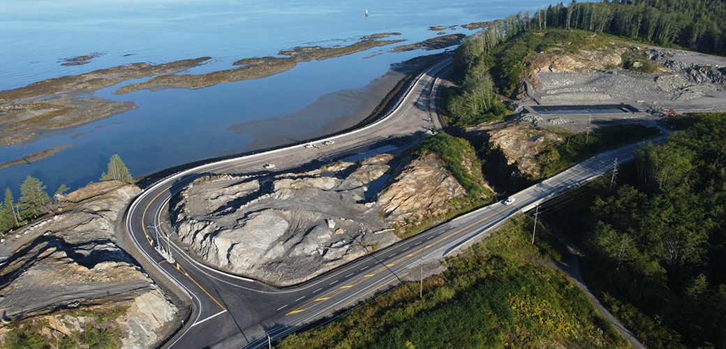
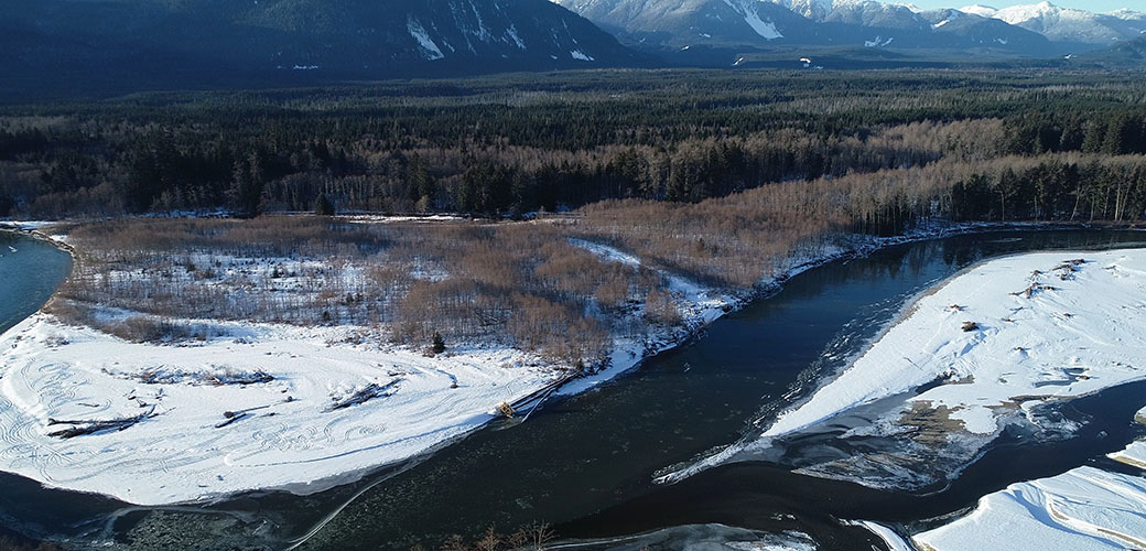
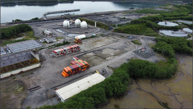
Structural Engineering for Avalanche Mitigation
McElhanney’s structural engineers prepared a foundation design (including reinforced concrete and post-tensioned rock anchors) to assist with avalanche mitigation measures near Terrace, BC
McElhanney assisted the Prince Rupert Rotary Club with the reconstruction of Rushbrook Trail in 2017.
Banff National Park is home to a spectacular landscape and countless species of wildlife, attracting more than four million visitors each year.
McElhanney designed a 21,200m3 stormwater detention system for the Southwest Yorkson neighbouthood of Langley, BC. Due to land constraints, McElhanney proposed a non-traditional solution where the stormwater detention system was installed below sports fields in tanks.
McElhanney was retained to design a brand new road for the Township of Langley, connecting the intersection of Labonte Ave / 216th Street with the intersection of Glover Road / Trinity Western University.
McElhanney worked alongside Parks Canada to complete several avalanche mitigation projects in the Rogers Pass area of Glacier National Park. This area is a critical link between Alberta and British Columbia, through which the Trans Canada Highway and the Canadian Pacific Railway traverse.
The survey work for the intake tower included GPS, 3D laser scanning, UAV, and multi-beam bathymetry. The team used GPS to establish primary control from which to base the survey, and then extended that control network around the site with a conventional total station.
Ross Road is located between Mountain Highway and Allan Road in North Vancouver. McElhanney is designing replacement bridges for the aging Coleman Creek and Hastings Creek Bridges. This involves raising both the roadway approaches and bridges to achieve the maximum freeboard possible.
McElhanney gathered laser scanned data, converted it into a 3D model, then brought it into Virtual Reality software. This is a relatively simple virtual reality experience where the user can move around the station by walking or teleporting.
The 3D visualization for this project needed to show what No. 2 Road would look like after the widening between Steveston Highway and London Road was finished. Our team took photos from 5 specific locations to so the surroundings in the rendering could be accurate.