
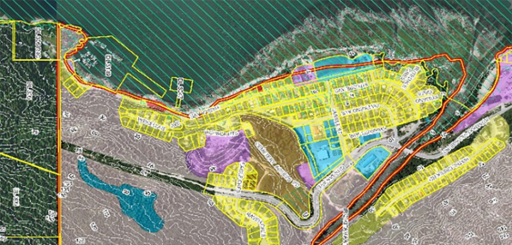
Town of Ponoka Municipal Development Plan
To accommodate community growth, the Town of Ponoka engaged McElhanney to lead a review of their Municipal Development Plan in mid-2022.
To accommodate community growth, the Town of Ponoka engaged McElhanney to lead a review of their Municipal Development Plan in mid-2022.
Revitalizing the ski hill by adding summer lift access bike park trails was identified as an important step in the Cypress Hills Trail Plan.
The next logical step for the BC Powersports Coalition was the development of a best practices guide to inform development in BC.
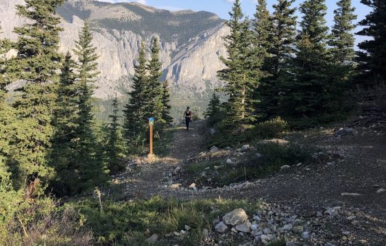
As the popularity of the Yamnuska recreation area grew over recent years, so did the number of rescues. Could improved trails reduce risk?
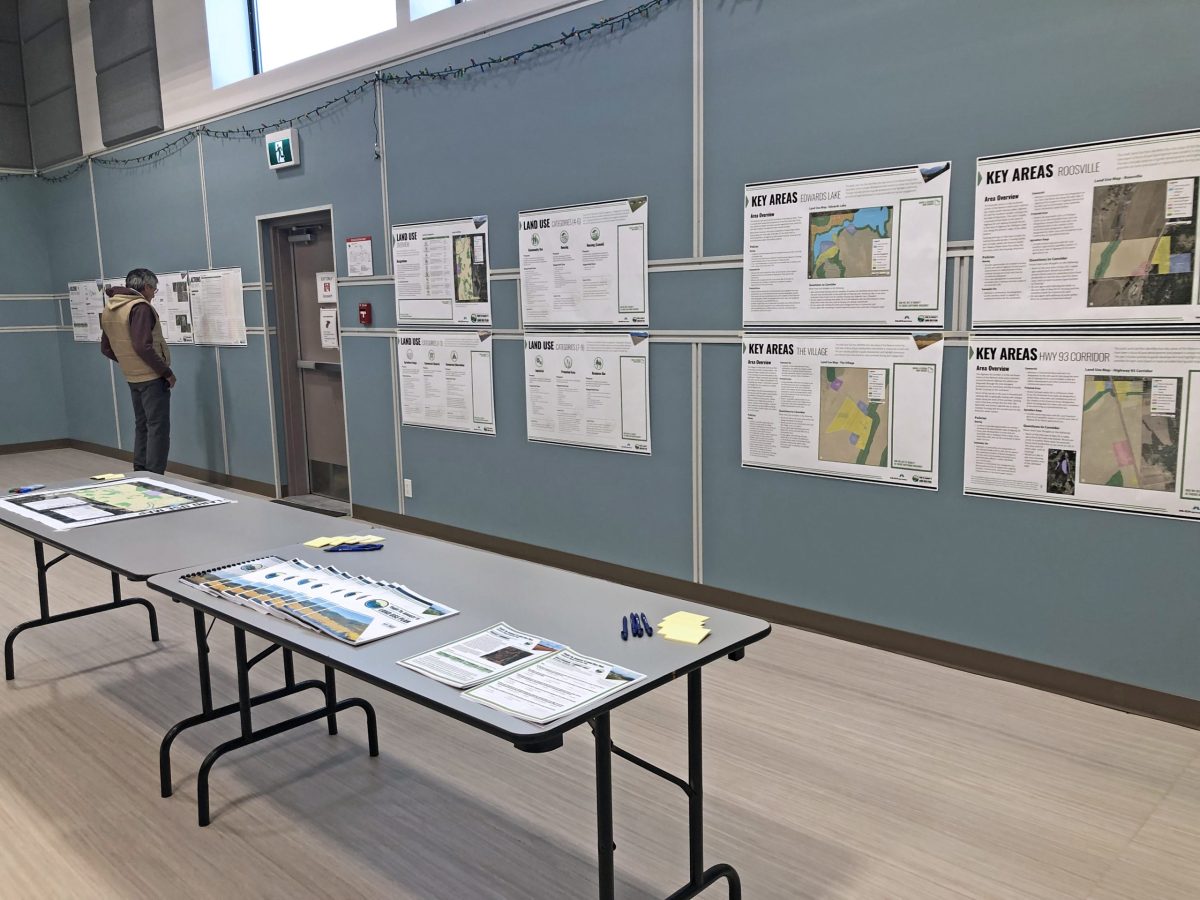
The Yaq̓it ʔa·knuqǂiʔit (Tobacco Plains) First Nation wished to create and implement a land use plan to meet the needs of its people.
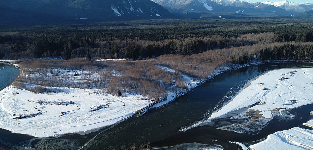
This project began as other flood mapping projects do: the existing flood maps were from 1982 and the District of Kitimat knew that they required an update.
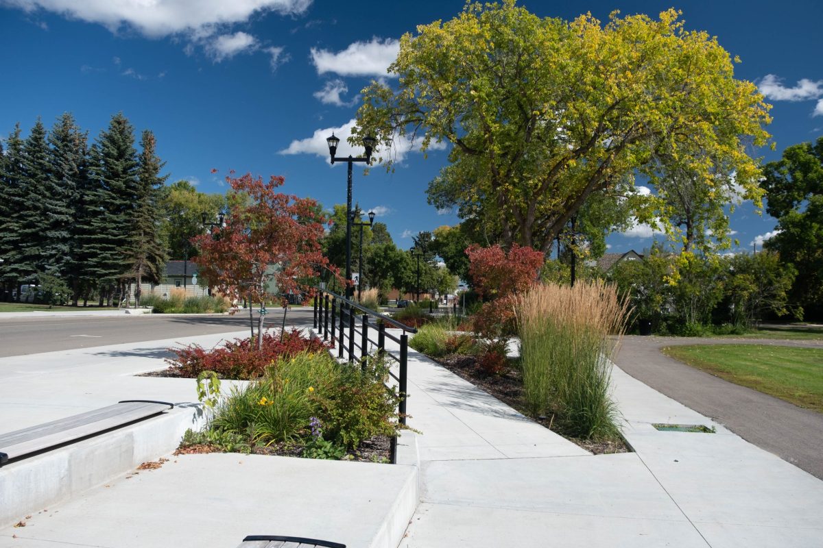
Integrating a Transportation Master Plan with an Urban Framework Master Plan opened the door for multiple improvements to be made in tandem.
McElhanney’s province-wide presence and knowledge of local requirements offered a blend of expertise and familiarity that supported project success.
McElhanney’s GIS system, Vertisee, was used to identify potential land use conflicts and synergies, for a land use plan as part of the implementation of the First Nations Land Management Act for Haisla First Nation.
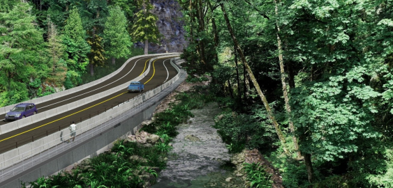
With the Malahat Corridor Improvement Project, the BC Ministry of Transportation & Infrastructure has been improving the safety of Hwy 1 by installing a median barrier and other upgrades. The stretch of highway which runs through Goldstream Provincial Park is challenging to design solutions for, as it is constrained by the river immediately running next to it, and by park lands on both sides.


