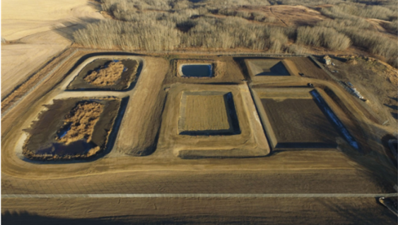
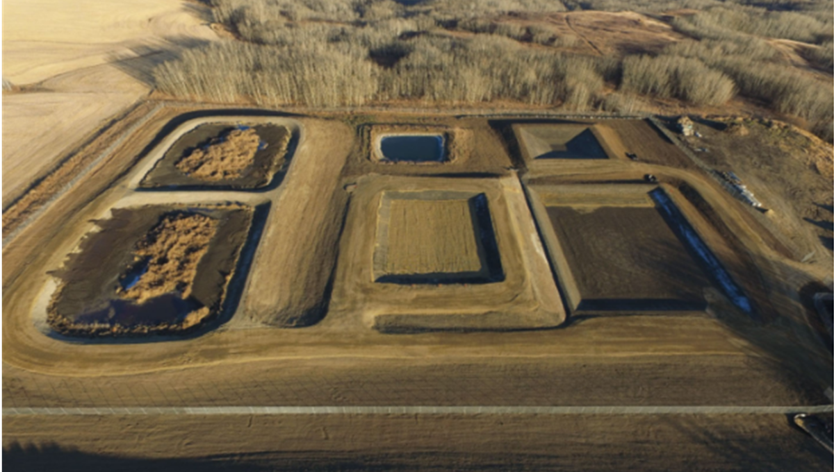
Peace River Biosolids Facility Rehabilitation
McElhanney’s rehabilitation of the original cells allowed for years of future operations and provided efficient leachate process management.
McElhanney’s rehabilitation of the original cells allowed for years of future operations and provided efficient leachate process management.
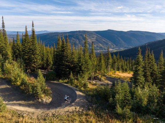
Sun Peaks Resort has staked its claim as a top year-round destination resort in Western Canada, and McElhanney is proud to contribute to that success.
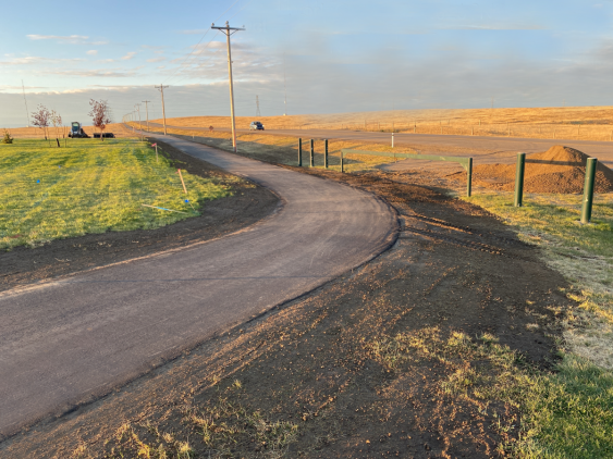
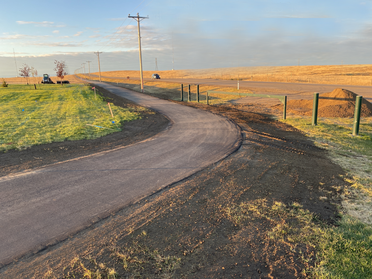
A trail featuring lake views, grasslands, and shorebird habitats, McElhanney was proud to be involved with the Kinbrook Connection Pathway.
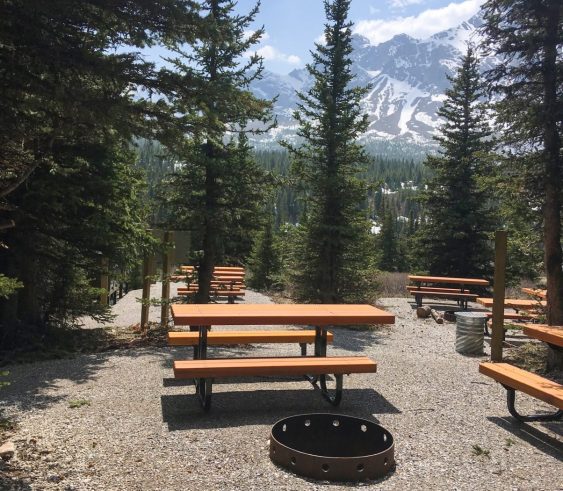
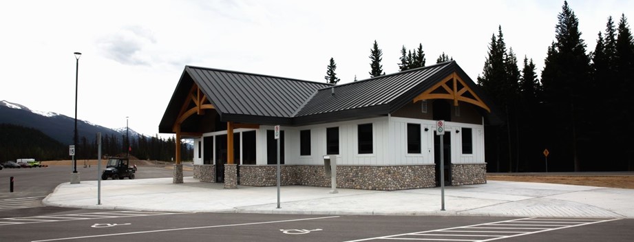
McElhanney worked with Parks Canada on the Whistlers Campground Rehabilitation and set a design standard for campgrounds along the way.
In 2020, KFN embarked on a multi-year improvement program to help them do their infrastructure management business in a different way.
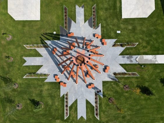
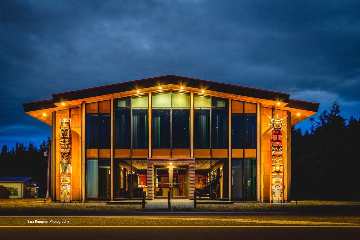
McElhanney contributed to a firepit structure and a welcome sign, both of which were designed to honor the land, for Fort McMurray #468 First Nation.
The next logical step for the BC Powersports Coalition was the development of a best practices guide to inform development in BC.
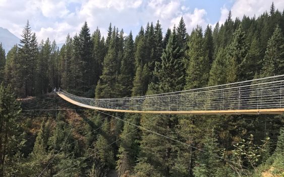
Blackshale Creek Bridge provides a special experience on the High Rockies Trail and allows users to avoid the steep creek bed.
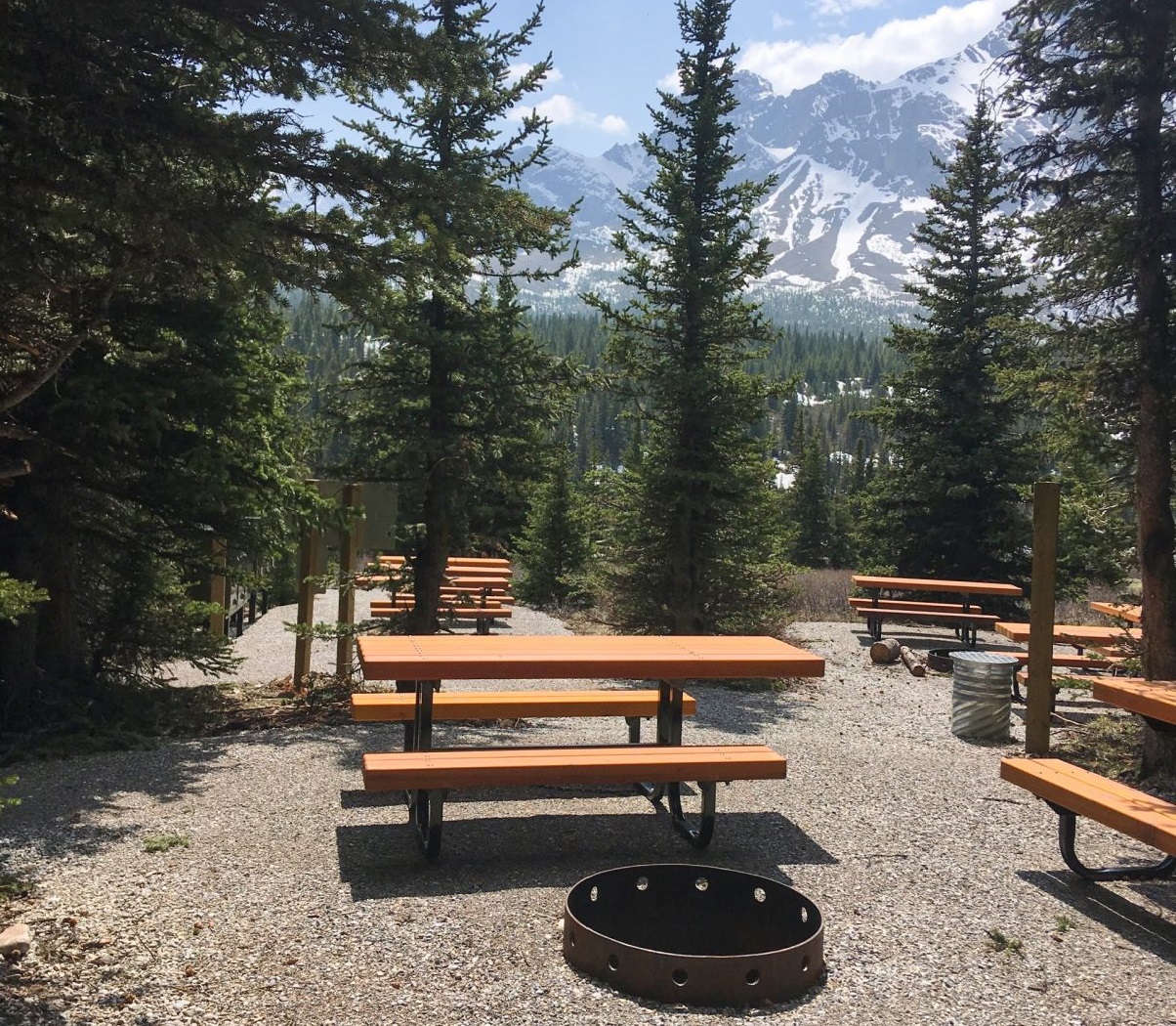
After thirty years of use with no upgrades and increased visitation, Alberta Parks was ready to redesign Tombstone Backcountry Campground.
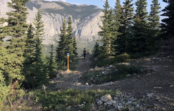
As the popularity of the Yamnuska recreation area grew over recent years, so did the number of rescues. Could improved trails reduce risk?


