
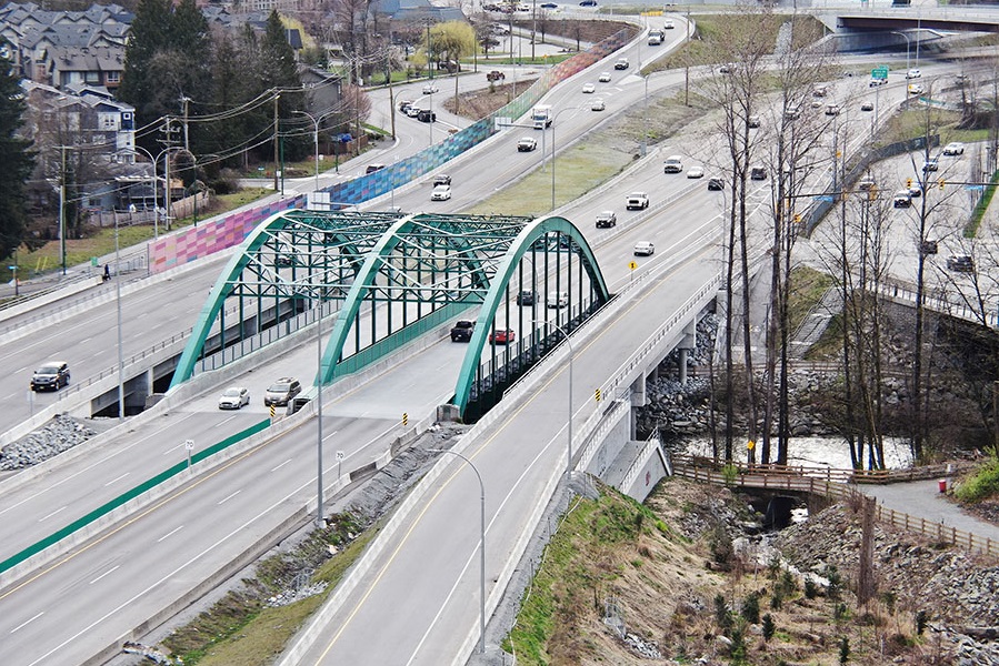
Highway 1 Keith Road / Mt Seymour Parkway Interchange
Award-winning work within a constrained, congested corridor that included fish-bearing creeks, sensitive habitat, parks, residences, and commercial spaces.
Award-winning work within a constrained, congested corridor that included fish-bearing creeks, sensitive habitat, parks, residences, and commercial spaces.
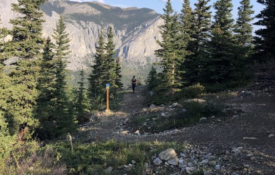
As the popularity of the Yamnuska recreation area grew over recent years, so did the number of rescues. Could improved trails reduce risk?
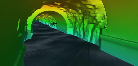
Inside a mountain in the Kitimat Ranges on BC’s northwest coast is a 475-metre long, 8-metre wide “tailrace” tunnel that transports the outflow water from the hydroelectric generation station in the mountain. The client, Rio Tinto, required a detailed interior survey of the tunnel for ongoing maintenance purposes and the tailrace could not be shut down for inspection. McElhanney provided bathymetric survey expertise to launch an autonomous drone mission that captured 3D scans of the tunnel interior to provide the client with the high-definition data they required for the structure.
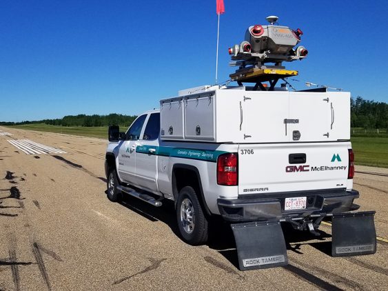
McElhanney used innovative mobile laser scanning to complete the Valleyview Airport runway study, resulting in cost savings for the Town.
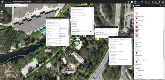
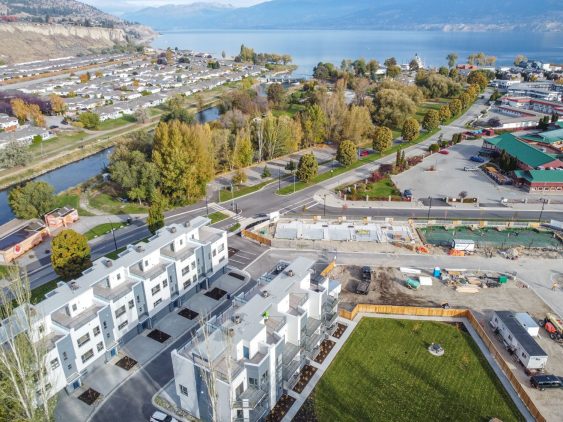
McElhanney designed and implemented a mobile field program and desktop conversion of various data sources to update Metro Vancouver Regional District’s spatial database of all assets owned and maintained by the Parks department.
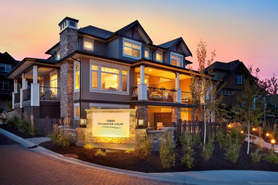
Since 2010, McElhanney has provided Legal Surveying to Citimark for their Crystal Heights and Apex Townhouse development projects.
This 35-unit luxury townhouse development involved design of onsite and offsite roads, underground utilities, grading, storm drainage, cost estimating, and construction inspections and administration.
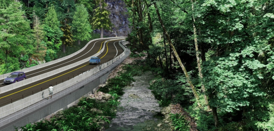
With the Malahat Corridor Improvement Project, the BC Ministry of Transportation & Infrastructure has been improving the safety of Hwy 1 by installing a median barrier and other upgrades. The stretch of highway which runs through Goldstream Provincial Park is challenging to design solutions for, as it is constrained by the river immediately running next to it, and by park lands on both sides.
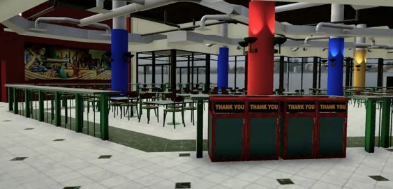
This Virtual Reality experience shows the potential of this technology and its benefits for project proposals, public forums, marketing, stakeholder engagement, and more. Laser scanned data, CAD models, and 3D models were used along with programming to create this fully immersive experience.
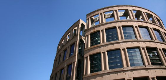
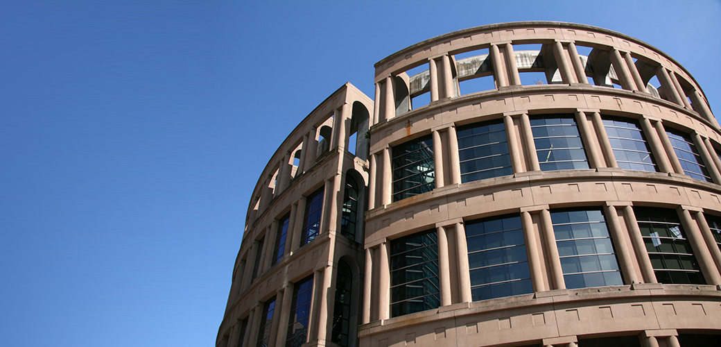
McElhanney provided surveying services to aid renovations at the library. The objective of the survey was to identify a precise location for a temporary concrete platform supporting a multi-storey crane, and to identify positions to underpin and support the load of the crane and platform.