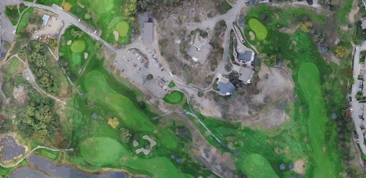
Shannon Lake Golf Course – Aerial Drone Survey 2022 | West Kelowna, BC The Shannon Lake Golf Course was undergoing an irrigation system upgrade and needed accurate topography of the entire 18-hole course for design purposes. A traditional ground survey could have been used, however a site of its size would have required multiple field…
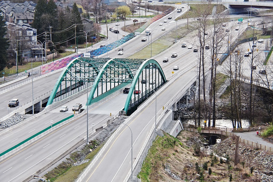
Award-winning work within a constrained, congested corridor that included fish-bearing creeks, sensitive habitat, parks, residences, and commercial spaces.
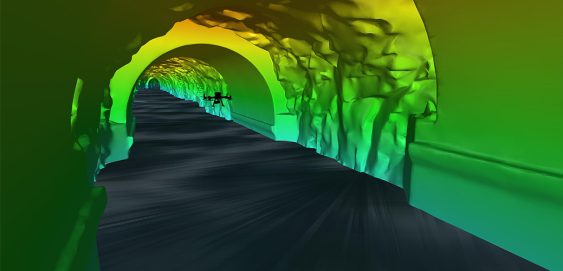
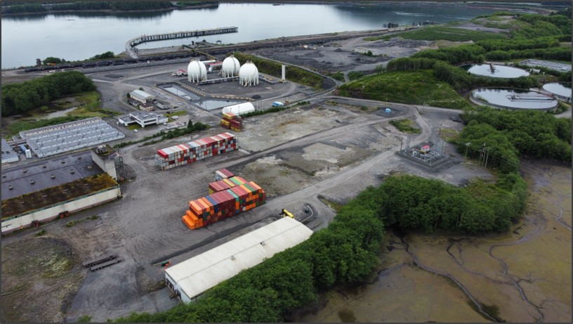
Inside a mountain in the Kitimat Ranges on BC’s northwest coast is a 475-metre long, 8-metre wide “tailrace” tunnel that transports the outflow water from the hydroelectric generation station in the mountain. The client, Rio Tinto, required a detailed interior survey of the tunnel for ongoing maintenance purposes and the tailrace could not be shut down for inspection. McElhanney provided bathymetric survey expertise to launch an autonomous drone mission that captured 3D scans of the tunnel interior to provide the client with the high-definition data they required for the structure.
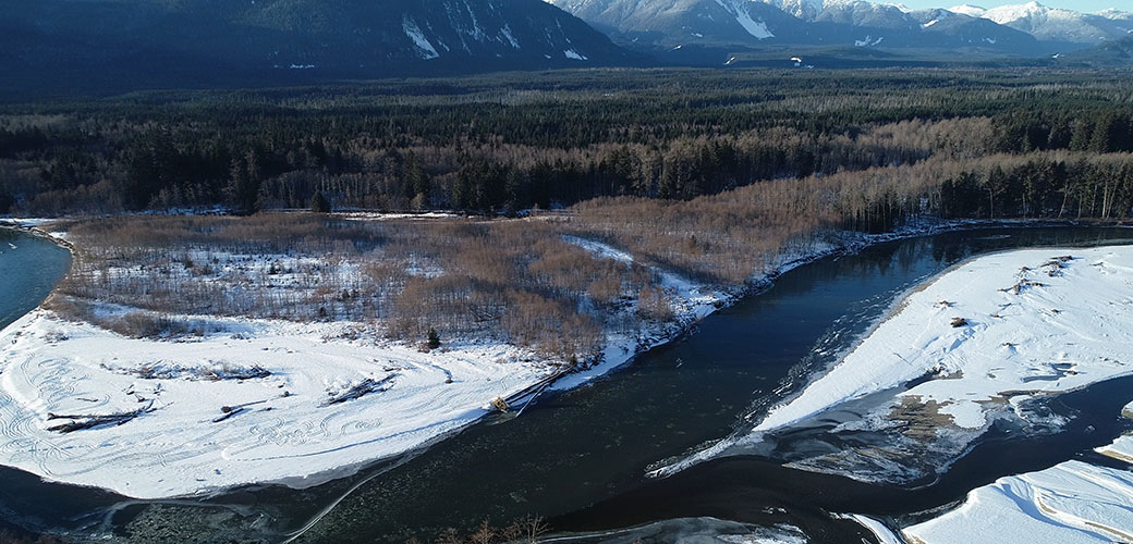
This project began as other flood mapping projects do: the existing flood maps were from 1982 and the District of Kitimat knew that they required an update.
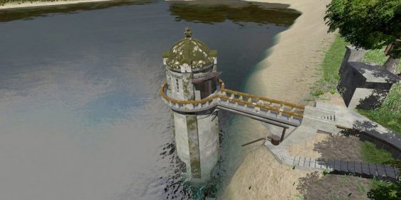
The survey work for the intake tower included GPS, 3D laser scanning, UAV, and multi-beam bathymetry. The team used GPS to establish primary control from which to base the survey, and then extended that control network around the site with a conventional total station.


