
We Wai Kai First Nations Housing Strategy
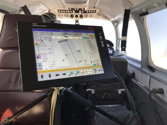
McElhanney worked with Parks Canada on the Whistlers Campground Rehabilitation and set a design standard for campgrounds along the way.
McElhanney worked with Parks Canada on the Whistlers Campground Rehabilitation and set a design standard for campgrounds along the way.
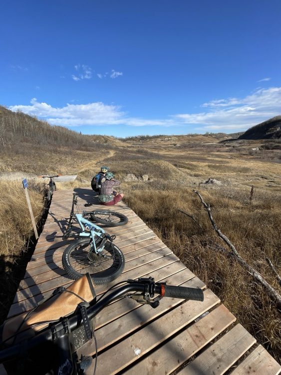
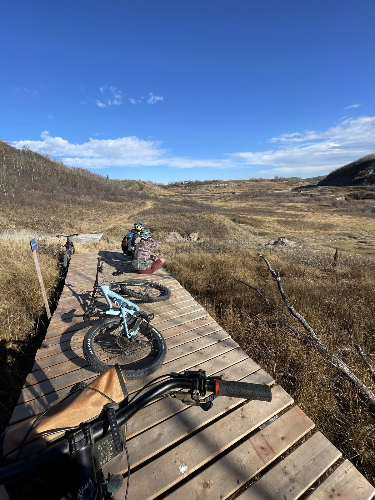
To support Stoney Creek Park trail system development, Camrose received grant funding to establish a Trail Master Plan for the Stoney Creek Valley.
To support Stoney Creek Park trail system development, Camrose received grant funding to establish a Trail Master Plan for the Stoney Creek Valley.
To support Stoney Creek Park trail system development, Camrose received grant funding to establish a Trail Master Plan for the Stoney Creek Valley.
To support Stoney Creek Park trail system development, Camrose received grant funding to establish a Trail Master Plan for the Stoney Creek Valley.
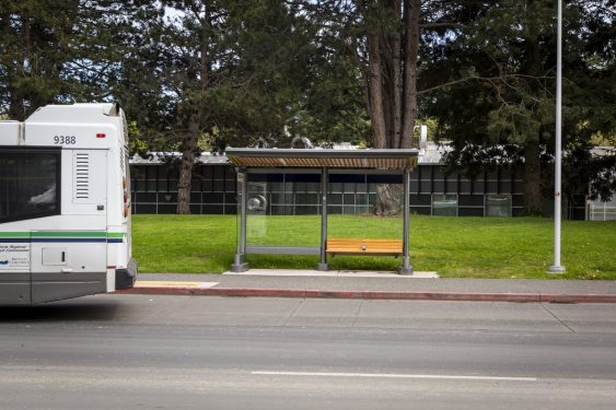
UVic sought to update their transit loop using SAFE Design to increase capacity, improve layout, and include shelter, lighting, and signage.
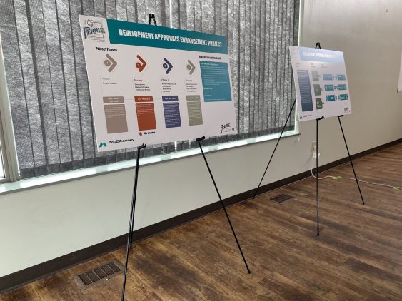
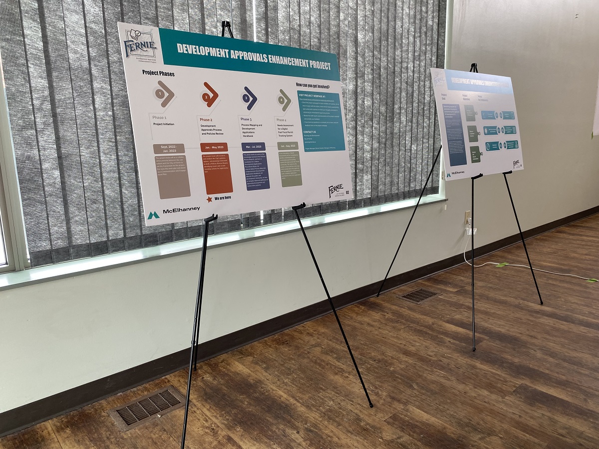
The City’s development approval enhancement project created a more efficient, transparent, and responsive development approval system.
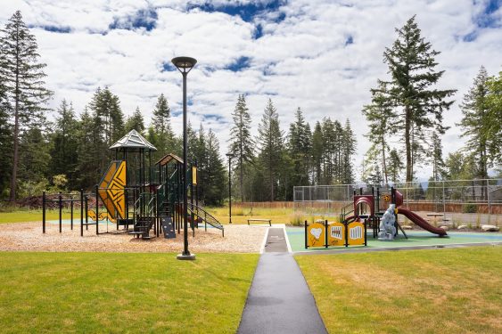
KFN members had no accessible, outdoor gathering space to meet, celebrate, gather, and play. Could a Canada Community Revitalization Fund grant meet their need?
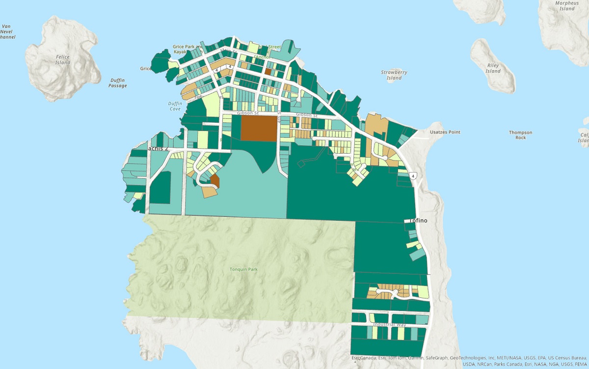
Tofino’s successful Housing Accelerator Fund application and subsequent planning support their objective to increase multi-family housing development.
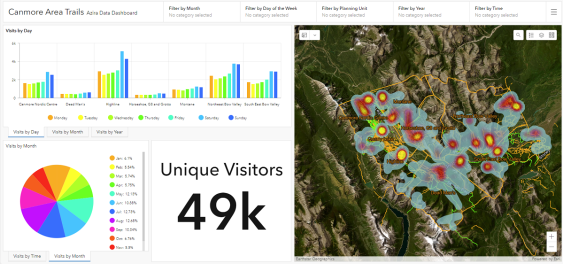
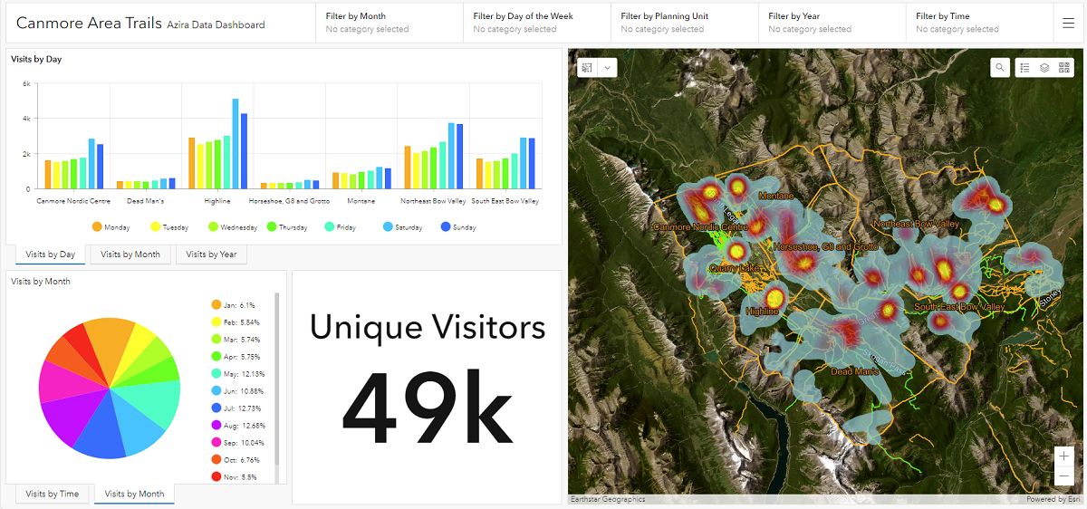
By leveraging big data to understand trail user trends, McElhanney teams are helping trail groups and clubs make sustainable long-term plans.


