Skip to content
Search:

LOGIN

MEDIA LIBRARY

CONTACT

Linkedin page opens in new windowFacebook page opens in new windowInstagram page opens in new window
McElhanney
McElhanneyMcElhanney
    • Home
    • About
    • Services
      • Geomatics
      • Engineering
      • Geospatial
      • Planning
      • Landscape Architecture
      • Environmental
    • Commitments
    • Portfolio
    • Careers
      • Career Opportunities
      • Culture
      • Career Growth
      • Interns & New Graduates
    • News
    • Locations
  • Home
  • About
  • Services
    • Geomatics
    • Engineering
    • Geospatial
    • Planning
    • Landscape Architecture
    • Environmental
  • Commitments
  • Portfolio
  • Careers
    • Career Opportunities
    • Culture
    • Career Growth
    • Interns & New Graduates
  • News
  • Locations
  • Linkedin Facebook Instagram
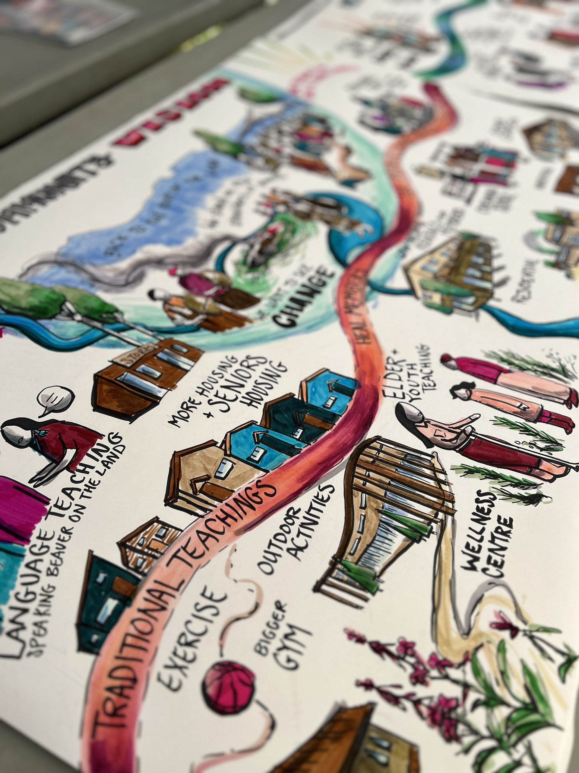
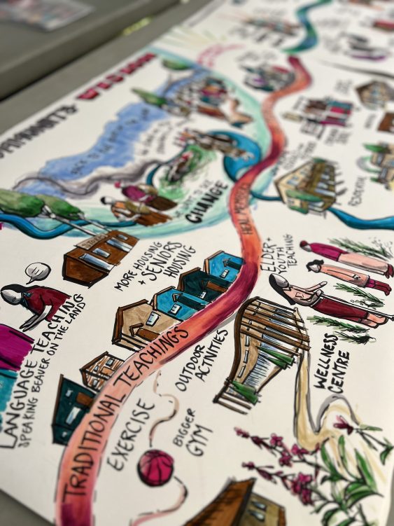
A colorful, hand-drawn infographic illustrates a winding path through a community, highlighting various aspects of wellness and traditional teachings. Along the path are labeled illustrations of buildings and people engaging in activities such as language teaching ('Speaking back our dreams'), exercise, outdoor activities, and visiting a wellness centre. Other labels include 'More healing supports,' 'Schools,' 'Housing,' 'Clinic,' and 'Bigger gym.' The image uses vibrant colors to emphasize key themes like traditional teachings and community health resources.
ZoomDetails

Prophet River First Nation Community Consultation

British Columbia, Cities & Communities, Community Planning & Policy, Geospatial, Indigenous Client Business, Indigenous Client Projects, Interest Holder Engagement & Communications, Mapping, PlanningBy Steve FengOctober 15, 2025

Discover how Prophet River First Nation’s Comprehensive Nation Plan empowers their governance, culture, and future through inclusive engagement.

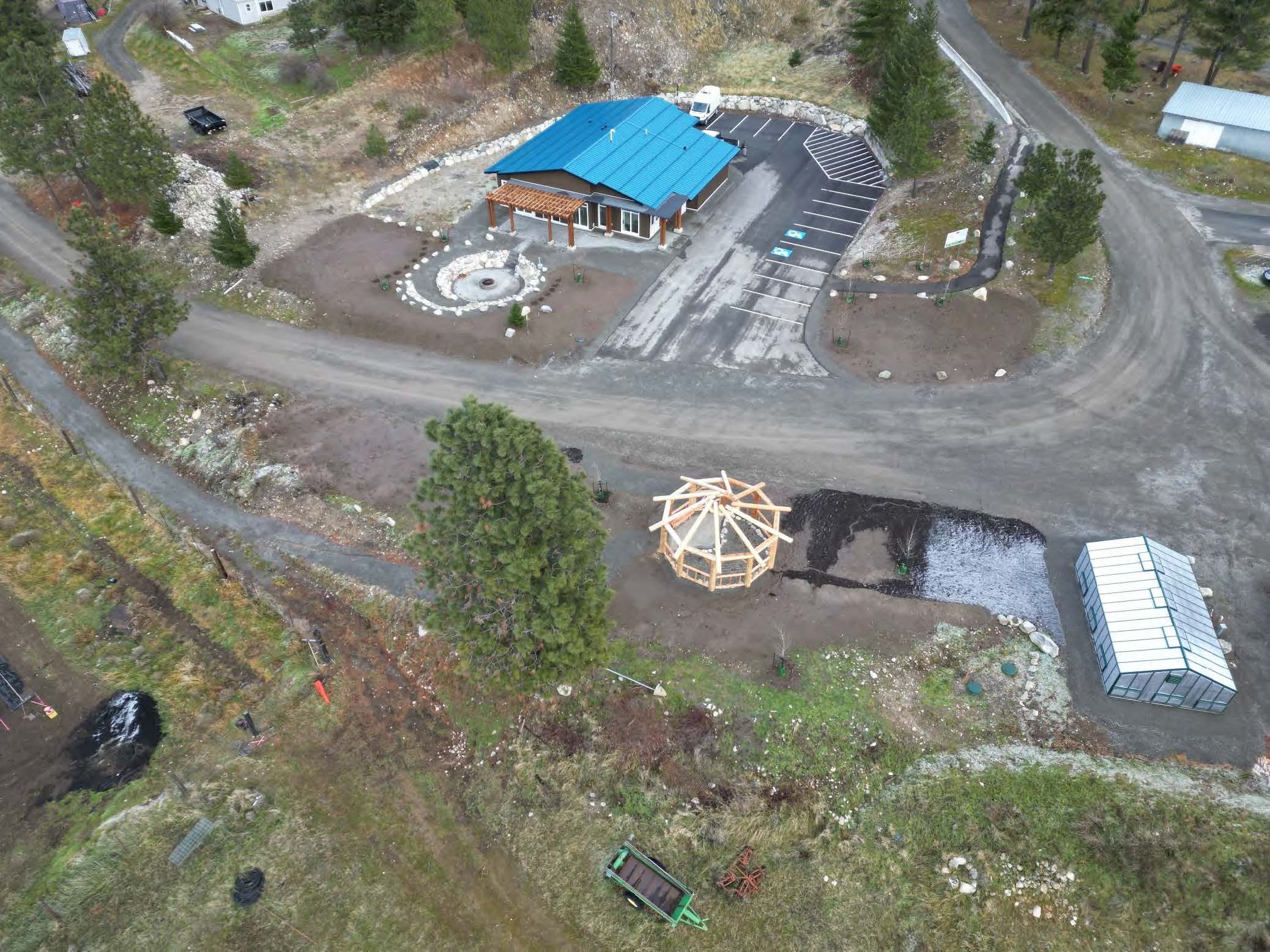
Aerial image showing green-roofed building on one side of a dirt road. A greenhouse and timber frame gazebo-style structure are visible across the road.
ZoomDetails

Skuppah Food Security Centre

British Columbia, Cities & Communities, Indigenous Client Business, Indigenous Client ProjectsBy Steve FengMay 28, 2025

To support Skuppah’s need for better community food security, McElhanney provided grant writing, civil engineering, and project management services.

Decorative Graphic
ZoomDetails

We Wai Kai First Nations Housing Strategy

British Columbia, Cities & Communities, Community Planning & Policy, Indigenous Client Business, Indigenous Client Projects, Interest Holder Engagement & Communications, Land Use & Approvals, Planning, Strategic Planning, Vancouver IslandBy Andrea de VriesOctober 15, 2024

This housing strategy outlined how the First Nation’s housing goals could be achieved to meet the growing needs of those on and off reserve.

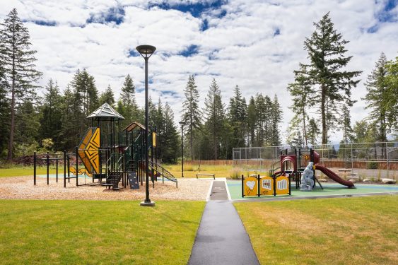
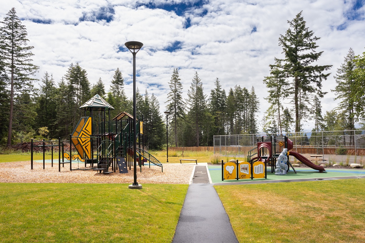
The Canada Community Revitalization Fund helped K’ómoks First Nation build a place to meet, celebrate, gather, and play.
ZoomDetails

K’ómoks First Nation Community Park

British Columbia, Cities & Communities, Construction Management, Construction Surveys, Cultural & Historic Landscapes, Engineering, Geotechnical, Indigenous Client Business, Indigenous Client Projects, Interest Holder Engagement & Communications, Land Development, Landscape Architecture, Municipal Underground Infrastructure & Roadways, Parks, Region, Services, Surveying, Vancouver IslandBy Andrea de VriesJuly 11, 2024

KFN members had no accessible, outdoor gathering space to meet, celebrate, gather, and play. Could a Canada Community Revitalization Fund grant meet their need?

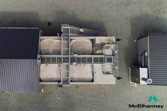
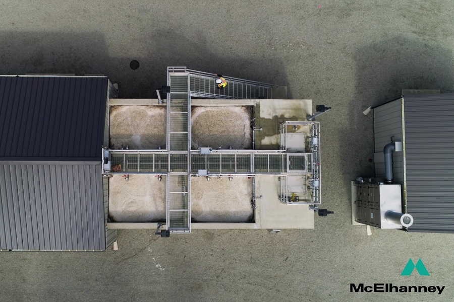
Moving Bed Biological Reactor (MBBR) tanks in action at Anacla.
ZoomDetails

Anacla Community Wastewater Treatment System

British Columbia, Cities & Communities, Indigenous Client Business, Indigenous Client Projects, Vancouver Island, Wastewater Treatment Facilities, Water and Wastewater FacilitiesBy Andrea de VriesJune 4, 2024

Huu-ay-aht First Nations required a new wastewater management system for the expansion of the Anacla community.

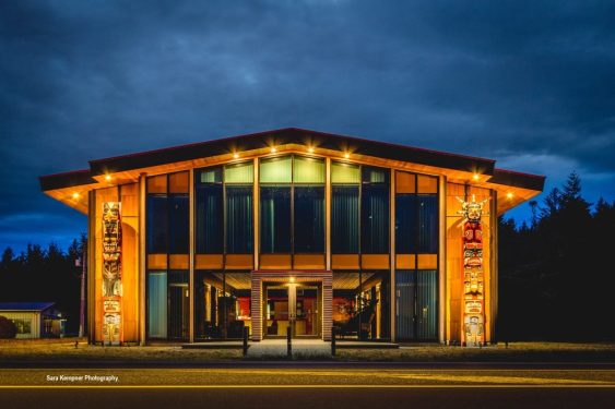
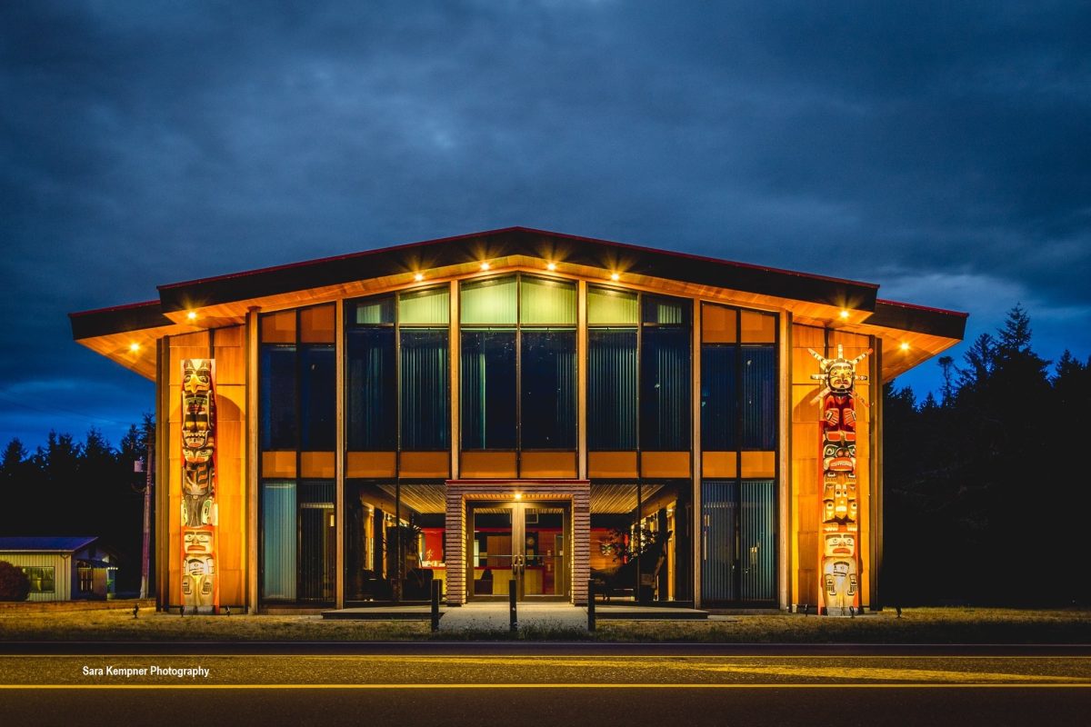
Komoks administration building
ZoomDetails

K’ómoks First Nation Asset Management Inventory and Mapping

British Columbia, Cities & Communities, Community Sustainability, GIS & Spatial Analysis, Indigenous Client Business, Indigenous Client Projects, Vancouver Island, Vertisee, Water ResourcesBy Andrea de VriesJuly 11, 2023

In 2020, KFN embarked on a multi-year improvement program to help them do their infrastructure management business in a different way.

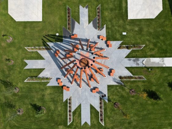
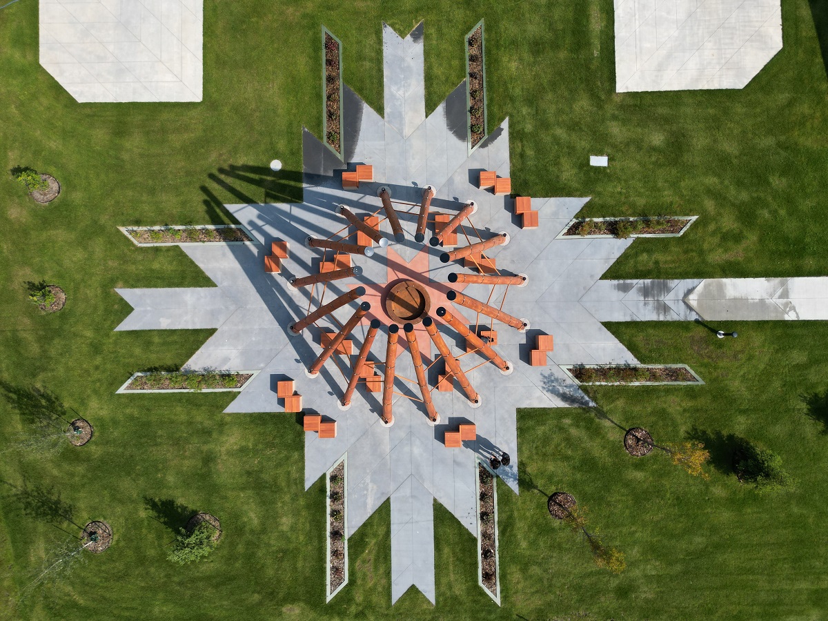
Aerial view of an artistic firepit structure rising out of a geometric concrete base. Green landscaped lawn surrounds the structure.
ZoomDetails

Fort McMurray #468 First Nation Welcome Sign and Firepit Structure

Alberta, Cities & Communities, Community Development, Construction Management, Cultural & Historic Landscapes, GIS & Spatial Analysis, Indigenous Client Business, Indigenous Client Projects, Legal and Engineering Surveys, Parks, StructuralBy Andrea de VriesJuly 5, 2023

McElhanney contributed to a firepit structure and a welcome sign, both of which were designed to honor the land, for Fort McMurray #468 First Nation.

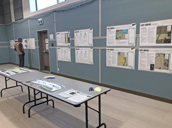
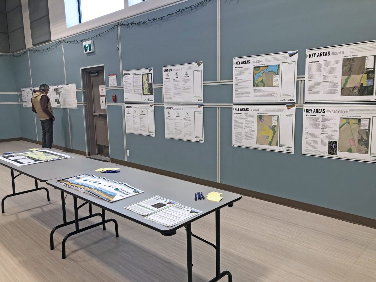
Tobacco Plains land use community engagement session
ZoomDetails

Yaq̓it ʔa·knuqǂiʔit (Tobacco Plains) Land Use Plan

British Columbia, Community Planning & Policy, Community Sustainability, Indigenous Client Business, Indigenous Client Projects, Interest Holder Engagement & Communications, Land Use & Approvals, Northern, Interior, Central BC, PlanningBy Andrea de VriesJune 15, 2023

The Yaq̓it ʔa·knuqǂiʔit (Tobacco Plains) First Nation wished to create and implement a land use plan to meet the needs of its people.

ZoomDetails

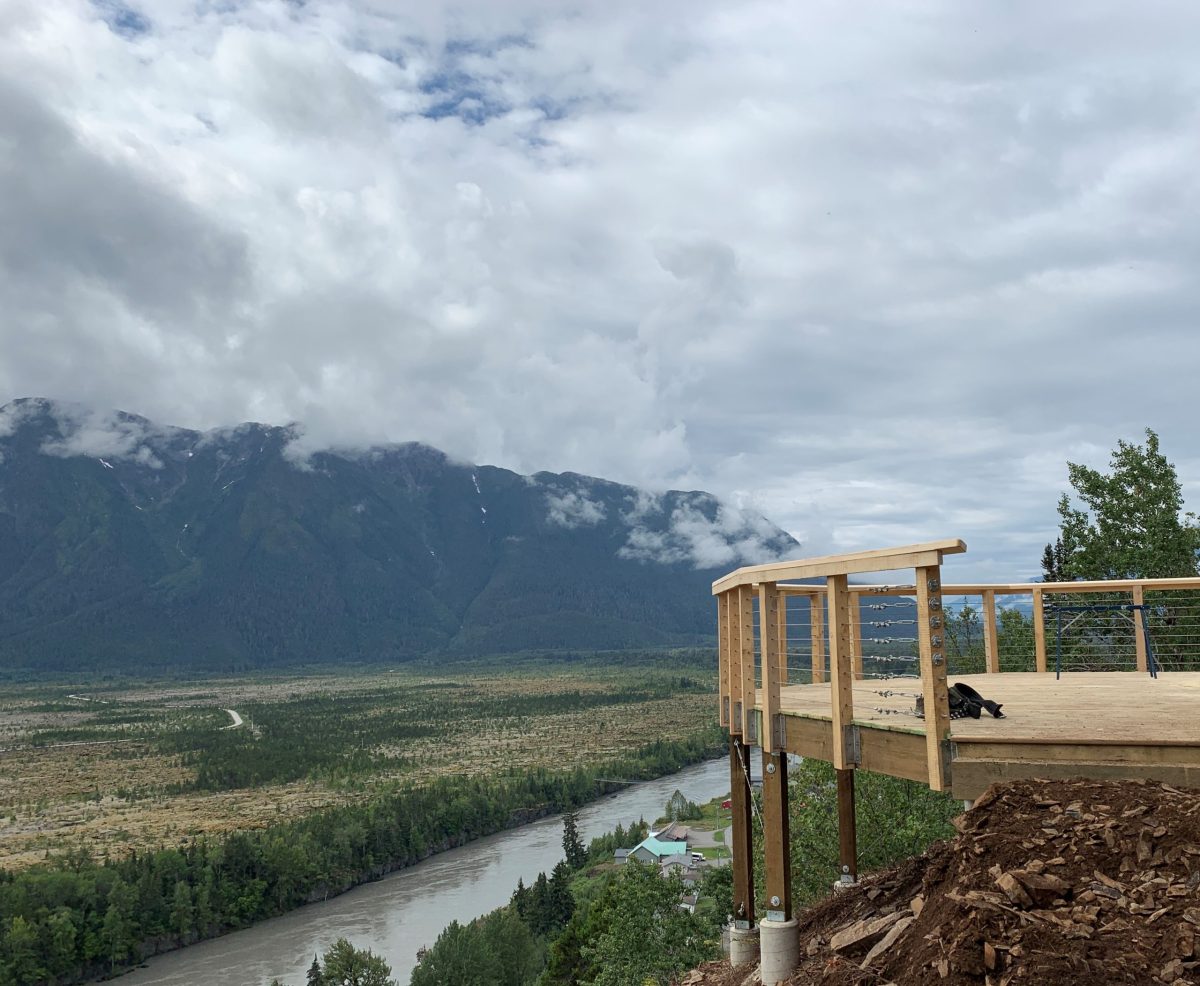
Saasak Hills Trail Planning & Design

British Columbia, Cities & Communities, Engineering, Indigenous Client Business, Indigenous Client Projects, Landscape Architecture, Northern, Interior, Central BC, Planning, Recreation, Region, Services, Structural, Tourism, TrailsBy Andrea de VriesFebruary 2, 2023

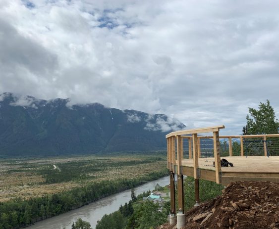
The Nisga’a Village of Gitwinksihlkw was ready for a Trail Master Plan and Detailed Design for their Saasak Hills Trail and River Walk.

Haisla Land Use Planning Featured Images
ZoomDetails

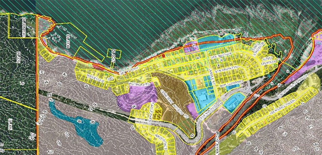
Haisla Land Use Planning

British Columbia, Geospatial, GIS & Spatial Analysis, Indigenous Client Business, Indigenous Client Projects, Interest Holder Engagement & Communications, Land Use & Approvals, Mapping, VertiseeBy Felicia KurnadiSeptember 8, 2021

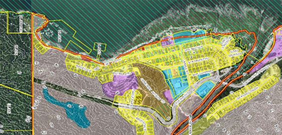
McElhanney’s GIS system, Vertisee, was used to identify potential land use conflicts and synergies, for a land use plan as part of the implementation of the First Nations Land Management Act for Haisla First Nation.


→12→
©2025 McElhanney, All Rights Reserved | Sitemap Privacy Policy Terms & Conditions Login Media Library Contact |
LinkedinFacebook Instagram
Go to Top