
Pressure Reducing Valve Station Replacements
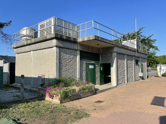
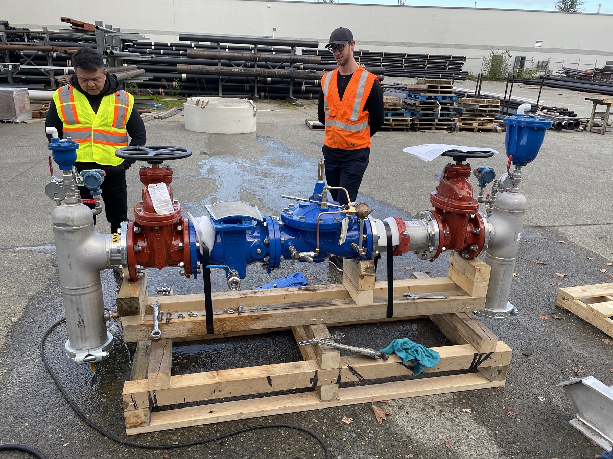
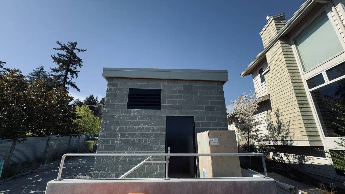
These four aging and below ground PRV stations were replaced with new above ground stations to eliminate confined space and make the water distribution network more robust.
These four aging and below ground PRV stations were replaced with new above ground stations to eliminate confined space and make the water distribution network more robust.
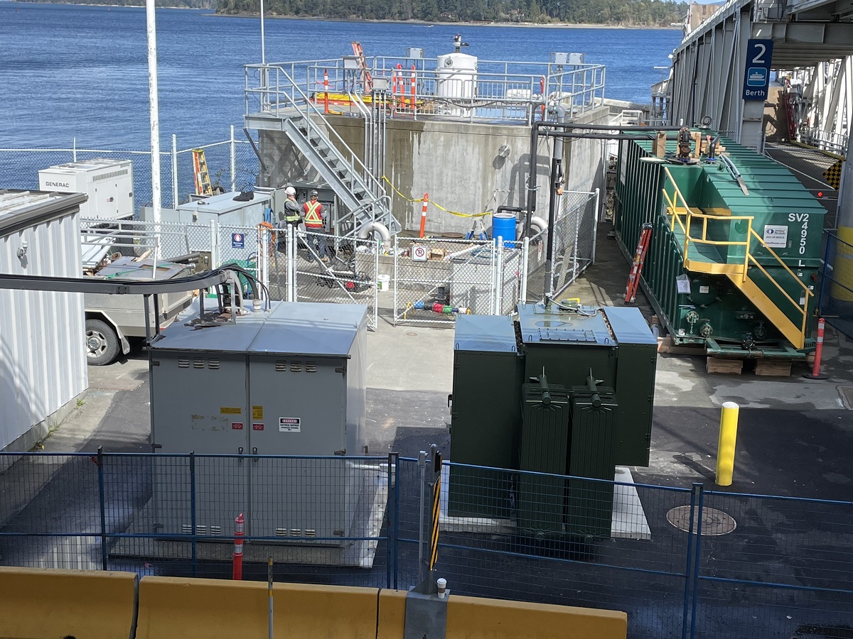
By adding a surge tank to their sanitary pump station, the station and forcemain were better protected against pressure transients.
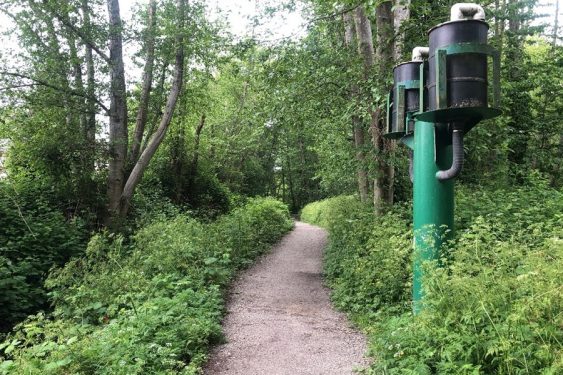
This sewage holding tank aeration project lowered sulphides, limited sedimentation, eliminated CS entry, and treated fugitive odours.
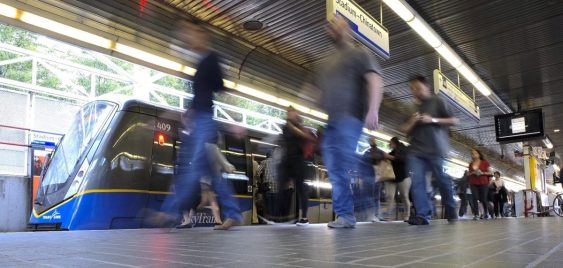
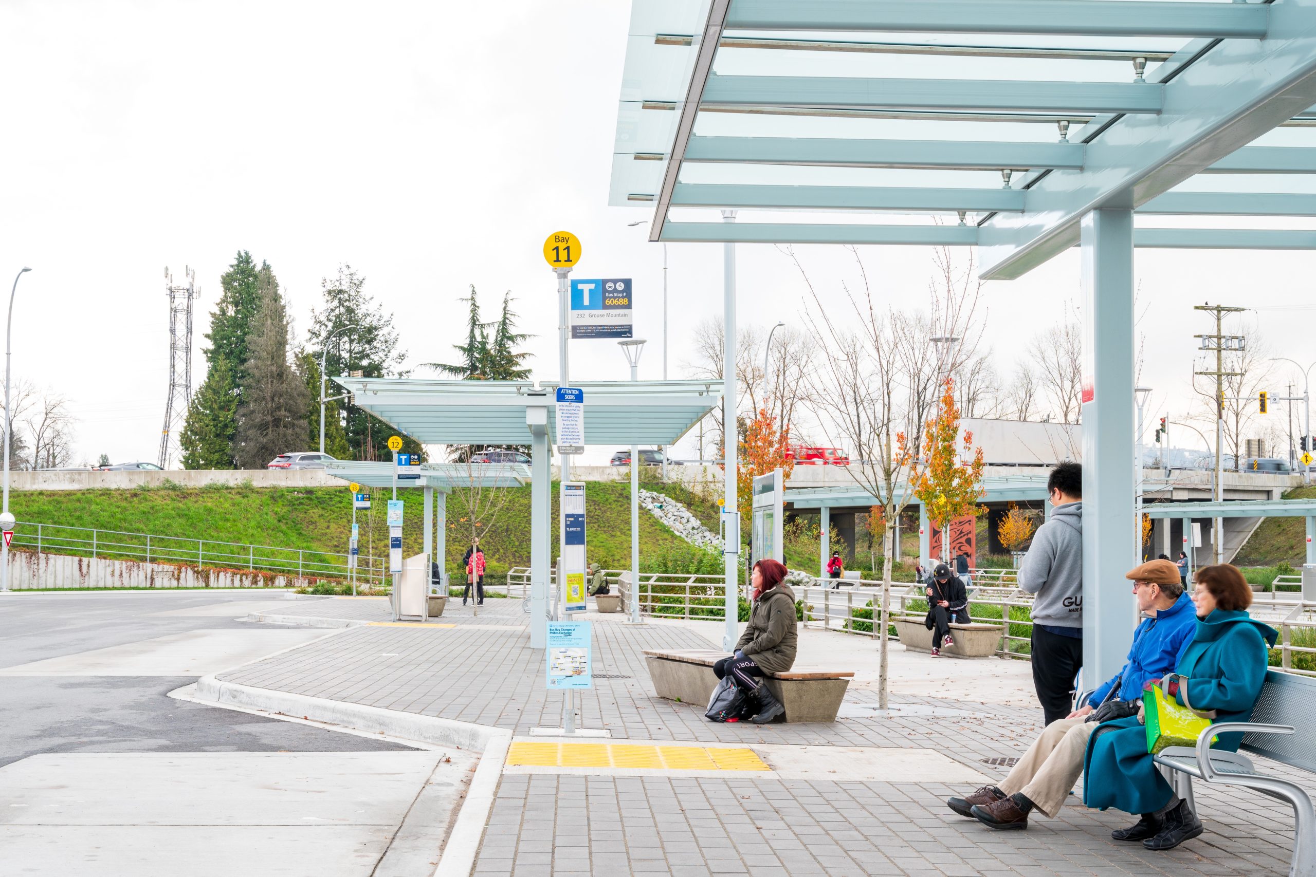
The upgraded Phibbs Transit Exchange is now home to 13 bus bays supporting 13 bus routes to and from the North Shore.
To support Stoney Creek Park trail system development, Camrose received grant funding to establish a Trail Master Plan for the Stoney Creek Valley.
McElhanney led a team of civil, process mechanical, structural, geotechnical, and electrical disciplines in the Wakefield lift station replacement.
Lobelia Subdivision and Lobelia Drive Upgrades 202-22 | Osoyoos, BC The Lobelia Subdivision and Lobelia Drive Upgrades marked the conversion of a 3.24-acre family fruit farm, operational since the 1970s, into a thriving 15-lot single-family home community. In the spring of 2018, the Mackay family, who had recently inherited the family farm, faced the dilemma…
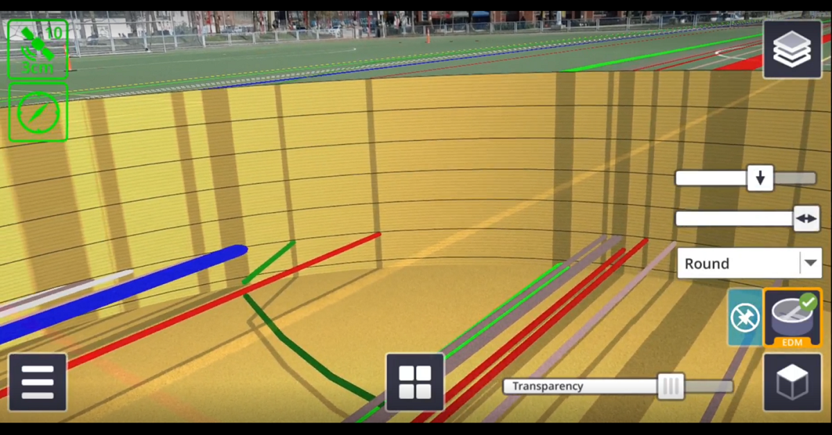
There are numerous applications for Trimble SiteVision, from underground utility exploration to aboveground boundary overlays.
Could a long-term flood resiliency upgrade solution protect residents against ditch erosion and slope instability?
Smithers maintained a strong mountain town identity and sense of place, and wanted future growth to be managed by an OCP that respected community values.


