
City of Vancouver Southlands Drainage Study
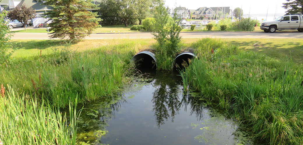
Due to ongoing drainage issues, the City of Vancouver hired McElhanney to help make improvements to the Southlands drainage network.
Due to ongoing drainage issues, the City of Vancouver hired McElhanney to help make improvements to the Southlands drainage network.
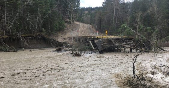
McElhanney assists BC MoTI with river and hydrotechnical engineering services for various bridge, culverts, and bank stabilization projects on 40+ sites.
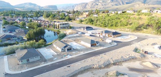
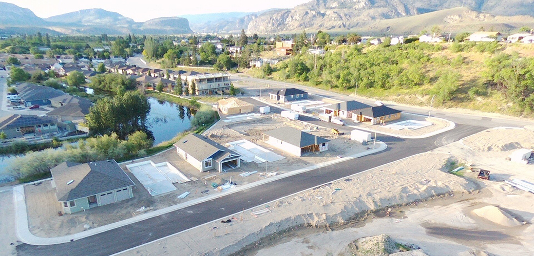
Our Penticton team provided engineering design, planning, construction & contract management, and inspection services for Meadows Subdivision.
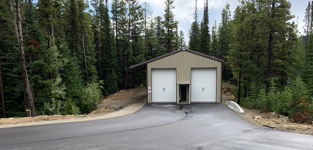
McElhanney’s Penticton team provided survey and civil, structural, and electrical engineering design for the Apex Waste Transfer Station.
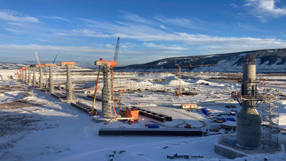
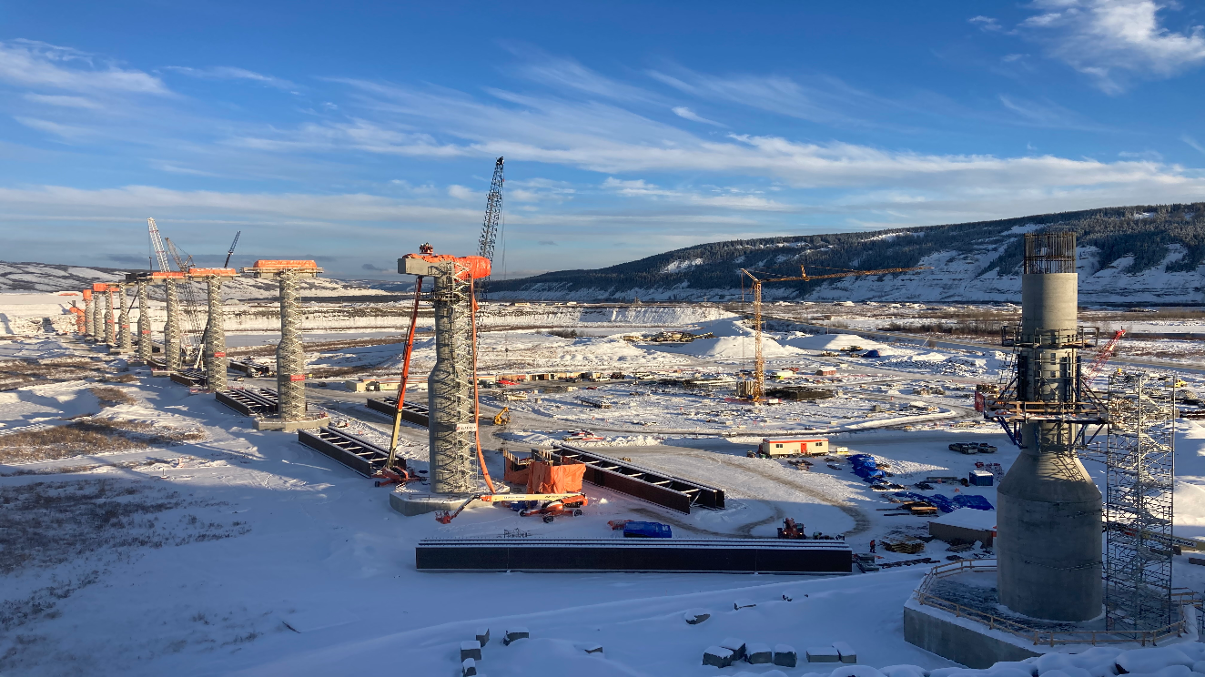
McElhanney is providing Construction Supervision for the Halfway River Bridge, a Ministry of Transportation & Infrastructure project north of Fort St. John.
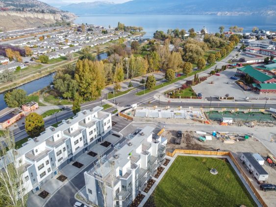
Since 2010, McElhanney has provided Legal Surveying to Citimark for their Crystal Heights and Apex Townhouse development projects.
This 35-unit luxury townhouse development involved design of onsite and offsite roads, underground utilities, grading, storm drainage, cost estimating, and construction inspections and administration.
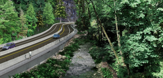
With the Malahat Corridor Improvement Project, the BC Ministry of Transportation & Infrastructure has been improving the safety of Hwy 1 by installing a median barrier and other upgrades. The stretch of highway which runs through Goldstream Provincial Park is challenging to design solutions for, as it is constrained by the river immediately running next to it, and by park lands on both sides.
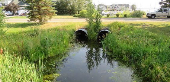
McElhanney provided an affordable and actionable plan that identified and addressed Sylvan Lake’s stormwater issues, and offered a phased road map and costing strategies to complete the work over the next 20 years.
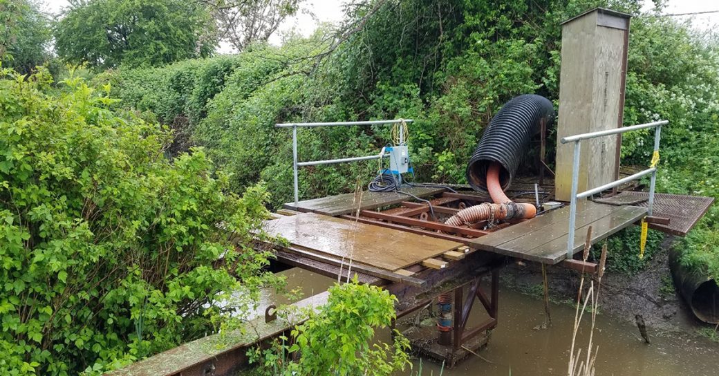
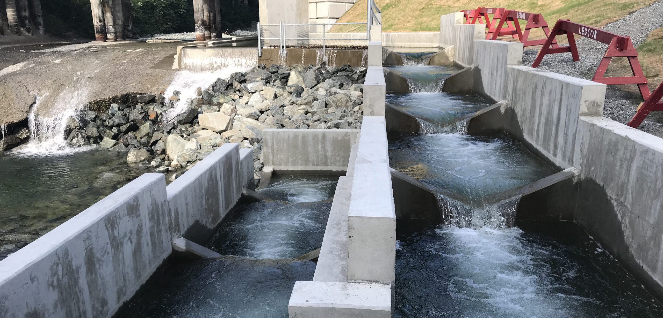
McElhanney was tasked with designing the Anderson Creek fishway to allow salmon to bypass a bridge apron that has deteriorated into a 3m concrete weir.


