
Phibbs Transit Exchange Improvements
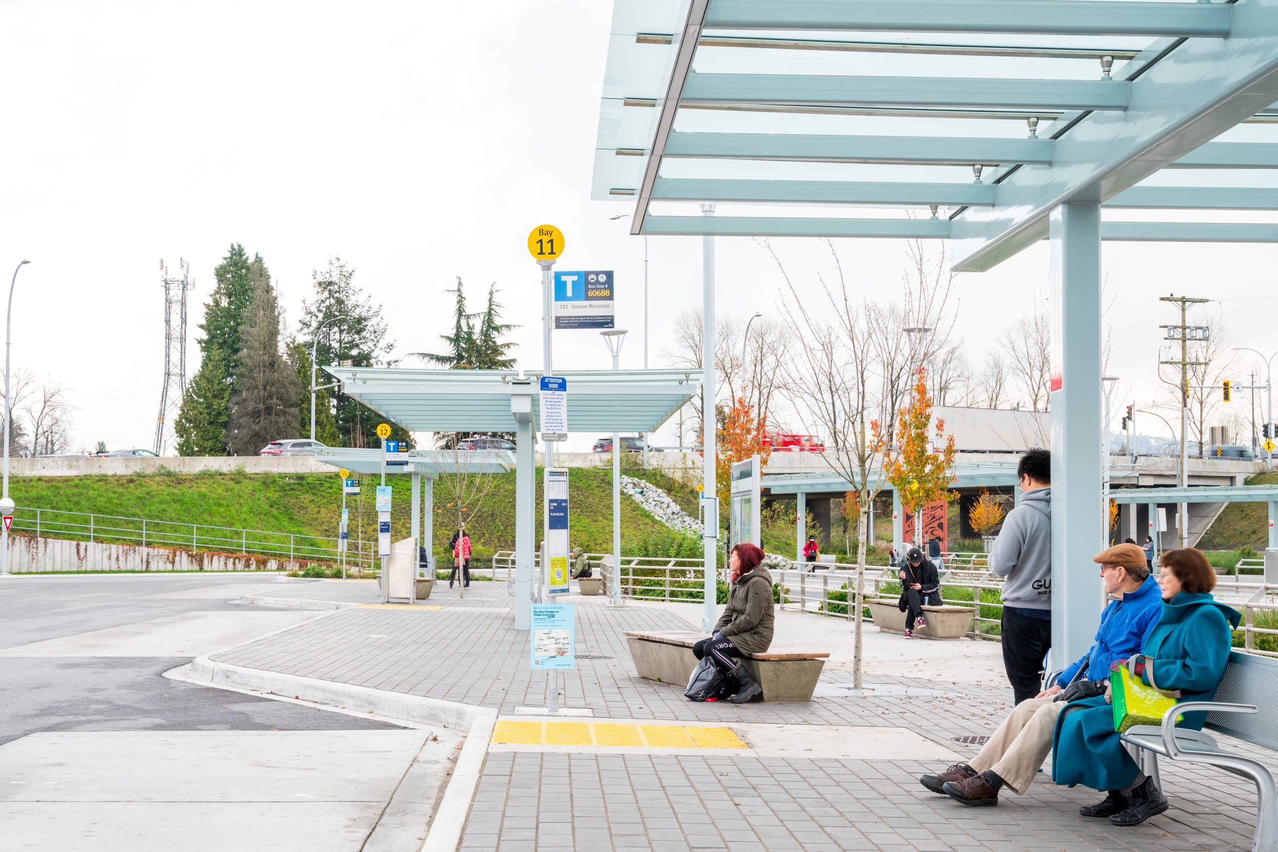
The upgraded Phibbs Transit Exchange is now home to 13 bus bays supporting 13 bus routes to and from the North Shore.
The upgraded Phibbs Transit Exchange is now home to 13 bus bays supporting 13 bus routes to and from the North Shore.
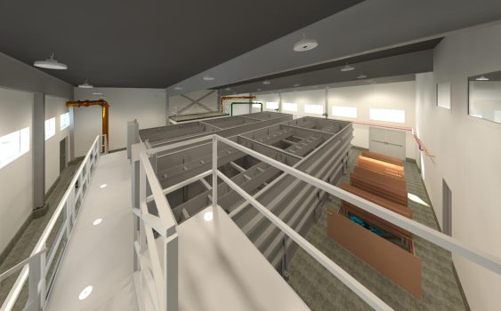
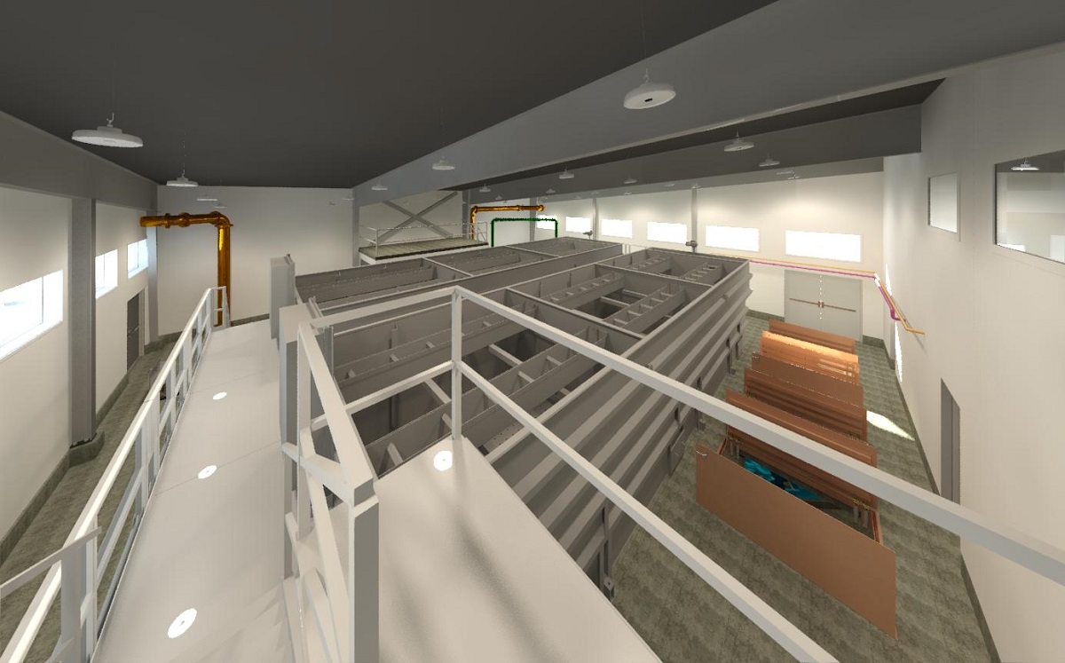
Requirements to meet provincial water treatment objectives motivated the District to upgrade to a new potable water treatment plant.
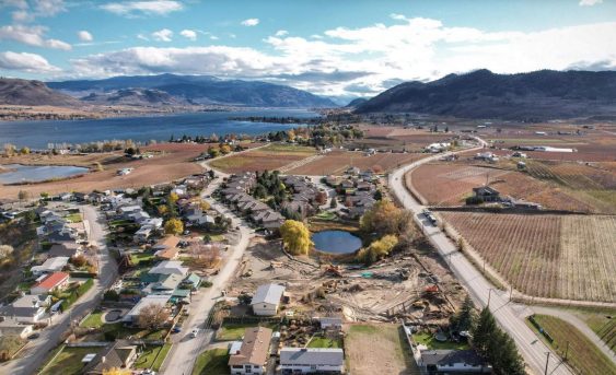
Lobelia Subdivision and Lobelia Drive Upgrades 202-22 | Osoyoos, BC The Lobelia Subdivision and Lobelia Drive Upgrades marked the conversion of a 3.24-acre family fruit farm, operational since the 1970s, into a thriving 15-lot single-family home community. In the spring of 2018, the Mackay family, who had recently inherited the family farm, faced the dilemma…
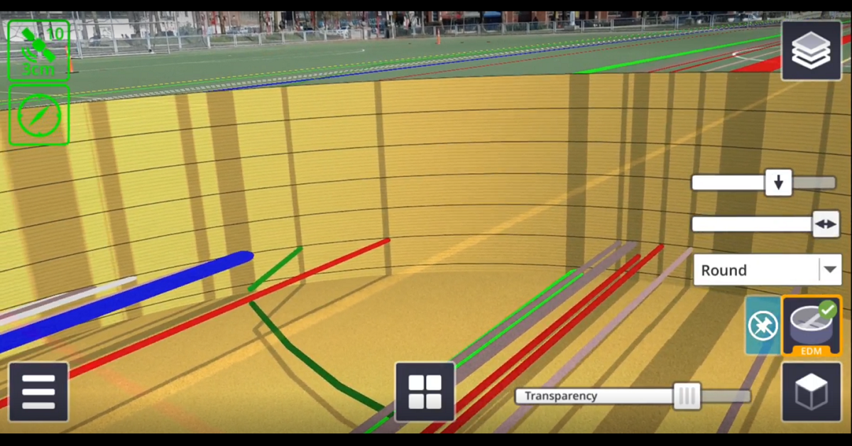
There are numerous applications for Trimble SiteVision, from underground utility exploration to aboveground boundary overlays.
McElhanney identified that a fly through visualization was a useful communication and engagement tool for the Memorial Hirst project.
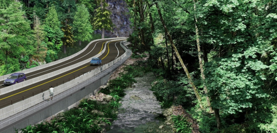
With the Malahat Corridor Improvement Project, the BC Ministry of Transportation & Infrastructure has been improving the safety of Hwy 1 by installing a median barrier and other upgrades. The stretch of highway which runs through Goldstream Provincial Park is challenging to design solutions for, as it is constrained by the river immediately running next to it, and by park lands on both sides.
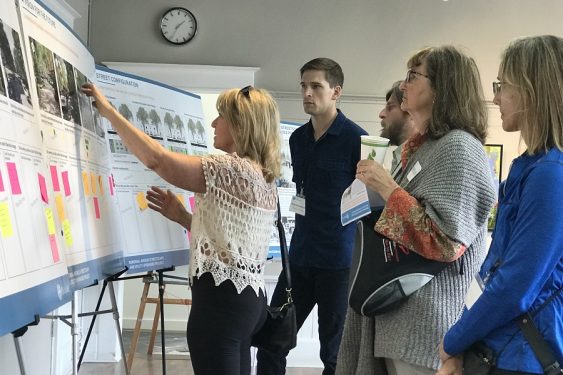
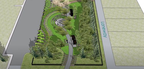
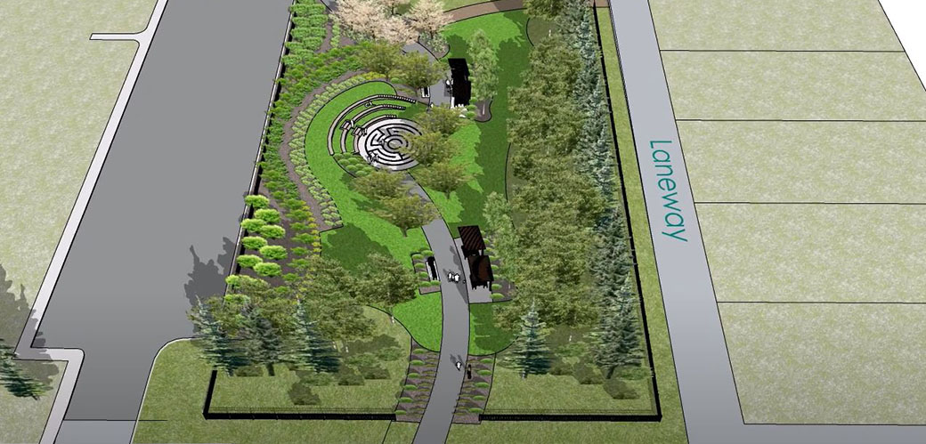
Working closely with the town, McElhanney proposed new designs for these parks that will add a fresh sense of place to the community and give residents spaces where they can relax and reconnect with nature.
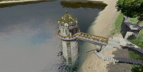
The survey work for the intake tower included GPS, 3D laser scanning, UAV, and multi-beam bathymetry. The team used GPS to establish primary control from which to base the survey, and then extended that control network around the site with a conventional total station.
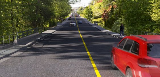
Ross Road is located between Mountain Highway and Allan Road in North Vancouver. McElhanney is designing replacement bridges for the aging Coleman Creek and Hastings Creek Bridges. This involves raising both the roadway approaches and bridges to achieve the maximum freeboard possible.
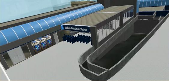
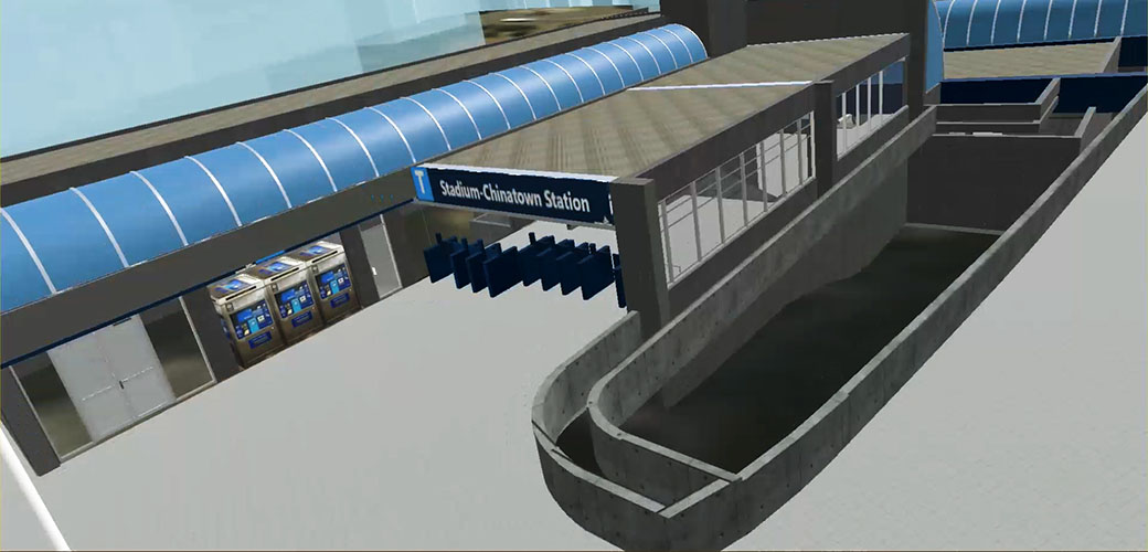
McElhanney gathered laser scanned data, converted it into a 3D model, then brought it into Virtual Reality software. This is a relatively simple virtual reality experience where the user can move around the station by walking or teleporting.
