
Phibbs Transit Exchange Improvements
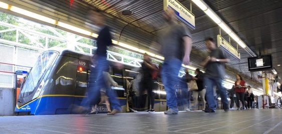
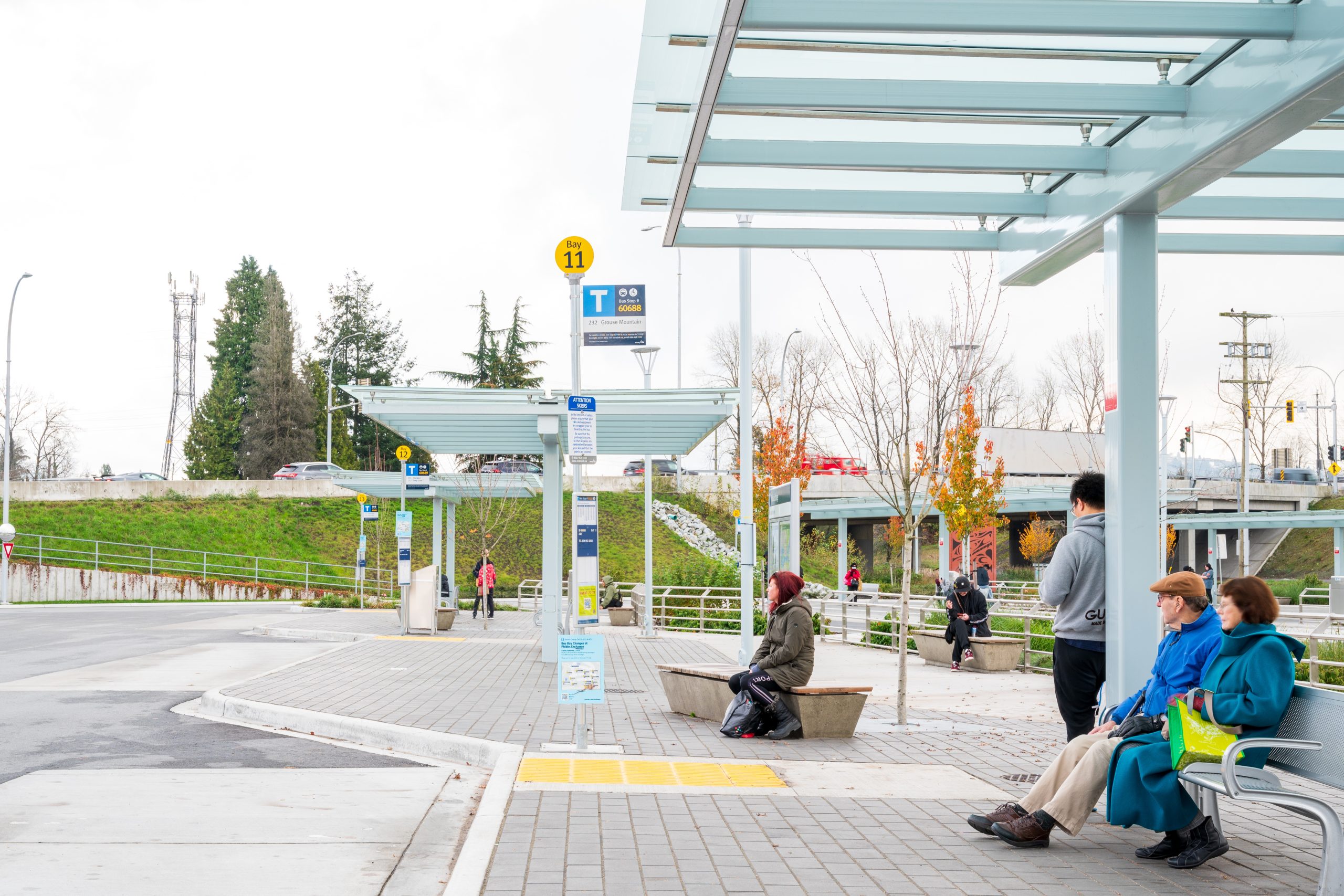
The upgraded Phibbs Transit Exchange is now home to 13 bus bays supporting 13 bus routes to and from the North Shore.
The upgraded Phibbs Transit Exchange is now home to 13 bus bays supporting 13 bus routes to and from the North Shore.
To support Stoney Creek Park trail system development, Camrose received grant funding to establish a Trail Master Plan for the Stoney Creek Valley.
To support Stoney Creek Park trail system development, Camrose received grant funding to establish a Trail Master Plan for the Stoney Creek Valley.
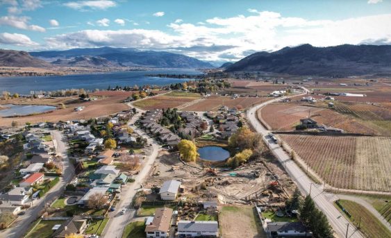
Lobelia Subdivision and Lobelia Drive Upgrades 202-22 | Osoyoos, BC The Lobelia Subdivision and Lobelia Drive Upgrades marked the conversion of a 3.24-acre family fruit farm, operational since the 1970s, into a thriving 15-lot single-family home community. In the spring of 2018, the Mackay family, who had recently inherited the family farm, faced the dilemma…
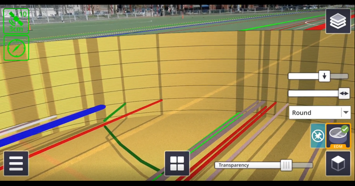
There are numerous applications for Trimble SiteVision, from underground utility exploration to aboveground boundary overlays.
Smithers maintained a strong mountain town identity and sense of place, and wanted future growth to be managed by an OCP that respected community values.
McElhanney delivered digital engagement services and kept communication channels open without relying on physical meetings.
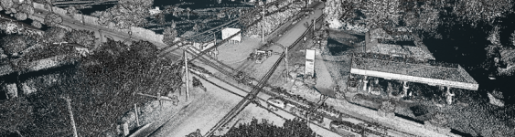
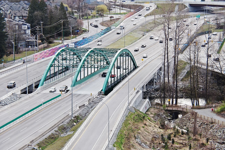
Award-winning work within a constrained, congested corridor that included fish-bearing creeks, sensitive habitat, parks, residences, and commercial spaces.
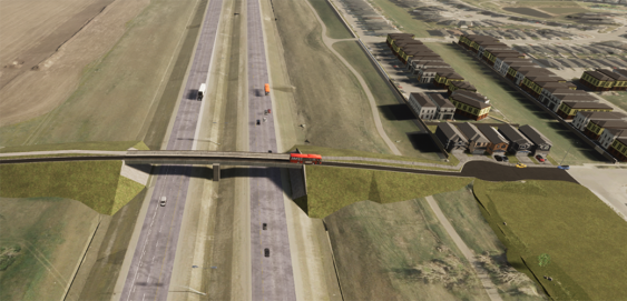
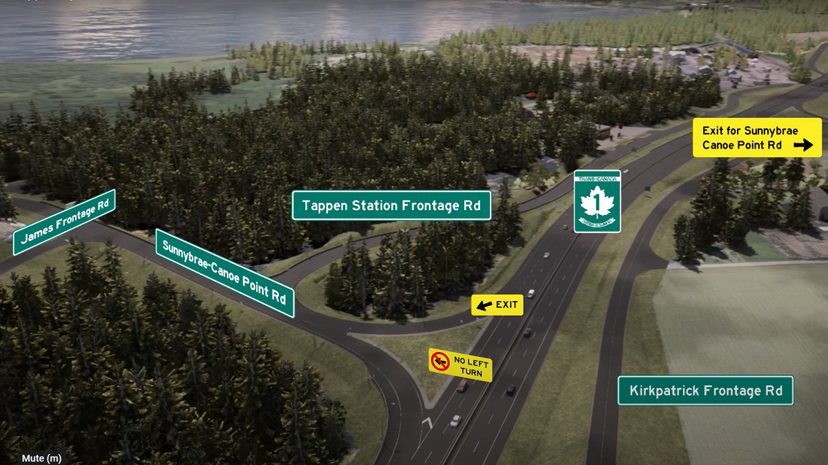
During Phase 1 of this project, a network planning study was conducted to recommend the location(s) of future east-west flyovers over the Calgary Ring Road (Stoney Trail). With continued growth in and adjacent to northeast Calgary, additional travel corridors across Stoney Trail needed to be identified and planned in order to provide connectivity to new residential and commercial communities east of Stoney Trail.
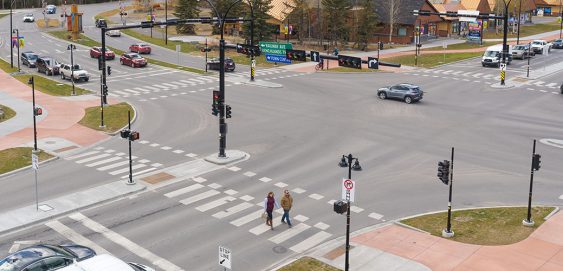
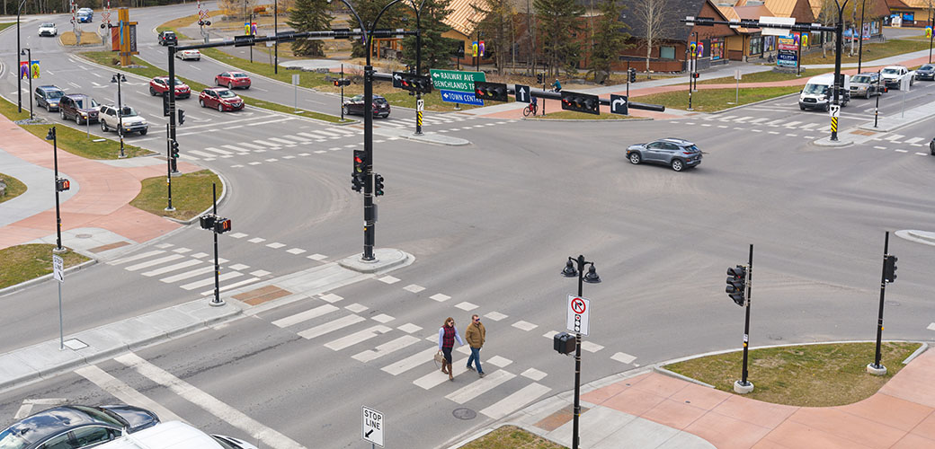
As part of its Transportation Initiatives Projects 2020, the Town of Canmore sought to transform the Benchlands Trail and Bow Valley Trail intersection with multi-modal safety improvements to better protect all road users. This included fully separated facilities for pedestrians, cyclists, and motorists to integrate with Canmore’s existing Complete Streets system and enhance active transportation in the area.


